E11559 Buckeye Ridge Rd La Farge, WI 54639
Estimated Value: $258,000 - $438,000
--
Bed
--
Bath
--
Sq Ft
6.12
Acres
About This Home
This home is located at E11559 Buckeye Ridge Rd, La Farge, WI 54639 and is currently estimated at $377,429. E11559 Buckeye Ridge Rd is a home located in Vernon County with nearby schools including La Farge Elementary School, La Farge Middle School, and La Farge High School.
Ownership History
Date
Name
Owned For
Owner Type
Purchase Details
Closed on
Apr 17, 2023
Sold by
Wirts Joseph
Bought by
Joseph W And Ardene E Wirts Revocable Tr
Current Estimated Value
Purchase Details
Closed on
May 1, 2006
Sold by
Wirts Chad J and Wirts Tamara Jo
Bought by
Wirts Joseph W and Wirts Ardene
Home Financials for this Owner
Home Financials are based on the most recent Mortgage that was taken out on this home.
Original Mortgage
$63,000
Interest Rate
6.37%
Mortgage Type
Stand Alone Refi Refinance Of Original Loan
Purchase Details
Closed on
Oct 11, 2005
Sold by
Wirts Gervase W
Bought by
Wirts Chad and Wirts Tamara Jo
Home Financials for this Owner
Home Financials are based on the most recent Mortgage that was taken out on this home.
Original Mortgage
$72,000
Interest Rate
5.83%
Mortgage Type
New Conventional
Create a Home Valuation Report for This Property
The Home Valuation Report is an in-depth analysis detailing your home's value as well as a comparison with similar homes in the area
Home Values in the Area
Average Home Value in this Area
Purchase History
| Date | Buyer | Sale Price | Title Company |
|---|---|---|---|
| Joseph W And Ardene E Wirts Revocable Tr | $1,750,000 | Carol Duhr | |
| Wirts Joseph W | $70,000 | -- | |
| Wirts Chad | -- | -- |
Source: Public Records
Mortgage History
| Date | Status | Borrower | Loan Amount |
|---|---|---|---|
| Previous Owner | Wirts Joseph W | $63,000 | |
| Previous Owner | Wirts Chad | $72,000 |
Source: Public Records
Tax History Compared to Growth
Tax History
| Year | Tax Paid | Tax Assessment Tax Assessment Total Assessment is a certain percentage of the fair market value that is determined by local assessors to be the total taxable value of land and additions on the property. | Land | Improvement |
|---|---|---|---|---|
| 2024 | $3,661 | $171,900 | $17,200 | $154,700 |
| 2023 | $3,356 | $171,900 | $17,200 | $154,700 |
| 2022 | $3,856 | $171,900 | $17,200 | $154,700 |
| 2021 | $3,748 | $171,900 | $17,200 | $154,700 |
| 2020 | $4,200 | $171,800 | $17,100 | $154,700 |
| 2019 | $3,818 | $171,800 | $17,100 | $154,700 |
| 2018 | $3,334 | $171,800 | $17,100 | $154,700 |
| 2017 | $3,367 | $171,800 | $17,100 | $154,700 |
| 2016 | $3,531 | $171,800 | $17,100 | $154,700 |
| 2015 | $4,601 | $171,800 | $17,100 | $154,700 |
| 2014 | $3,787 | $171,800 | $17,100 | $154,700 |
| 2013 | $3,419 | $160,400 | $17,200 | $143,200 |
Source: Public Records
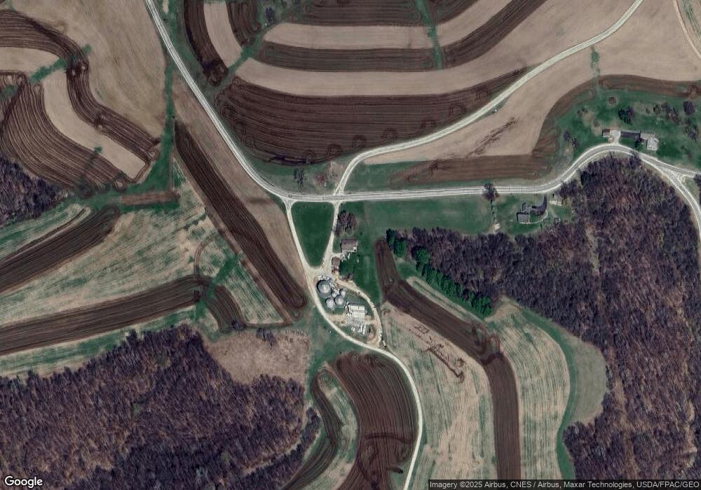
Map
Nearby Homes
- E11330 Allen Rd
- E10540 E Salem Ridge Rd
- S4102 Elk Run Rd
- 637 N Mill St
- 621 N Mill St
- 415 N Gold St
- 504 W Main St
- 113 N Bird St
- 206 S Silver St
- 249 S State St
- 320 N Pine St
- S4515 N Elk Run Rd
- E11695 Chadwick Hollow Rd
- E14146 Burr Salem Rd
- S5712 N Illusion Dr
- S5773 Reality Rd
- E14329 Jug Creek Rd
- 118 W York Rd
- 416 N Washington St
- 414 N Washington St