E11891 Side Rd Baraboo, WI 53913
Estimated Value: $146,000 - $515,000
Studio
--
Bath
--
Sq Ft
4,940,575
Sq Ft
About This Home
This home is located at E11891 Side Rd, Baraboo, WI 53913 and is currently estimated at $365,628. E11891 Side Rd is a home located in Sauk County with nearby schools including Baraboo High School, Community Christian School of Baraboo, and Community Christian School.
Ownership History
Date
Name
Owned For
Owner Type
Purchase Details
Closed on
May 21, 2020
Sold by
Herndon Glenn A
Bought by
Fairfield H & H Llc
Current Estimated Value
Purchase Details
Closed on
Jan 5, 2006
Sold by
Herndon David J and Goeb Glenda Robin
Bought by
Fairfield H & H Llc
Purchase Details
Closed on
Dec 23, 2005
Sold by
Herndon Glenn A and Herndon Eunayne A
Bought by
Herndon David J and Goeb Glenda Robin
Purchase Details
Closed on
Dec 22, 2005
Sold by
Herndon Eunayne A
Bought by
Fairfield H & H Llc
Create a Home Valuation Report for This Property
The Home Valuation Report is an in-depth analysis detailing your home's value as well as a comparison with similar homes in the area
Purchase History
| Date | Buyer | Sale Price | Title Company |
|---|---|---|---|
| Fairfield H & H Llc | -- | None Available | |
| Fairfield H & H Llc | -- | None Available | |
| Herndon David J | -- | None Available | |
| Herndon David J | -- | None Available | |
| Fairfield H & H Llc | -- | None Available |
Source: Public Records
Tax History
| Year | Tax Paid | Tax Assessment Tax Assessment Total Assessment is a certain percentage of the fair market value that is determined by local assessors to be the total taxable value of land and additions on the property. | Land | Improvement |
|---|---|---|---|---|
| 2025 | $2,760 | $219,600 | $151,800 | $67,800 |
| 2024 | $27 | $220,000 | $152,200 | $67,800 |
| 2023 | $2,618 | $219,400 | $151,600 | $67,800 |
| 2022 | $2,663 | $219,200 | $151,400 | $67,800 |
| 2021 | $2,726 | $220,300 | $152,500 | $67,800 |
| 2020 | $2,521 | $115,800 | $48,000 | $67,800 |
| 2019 | $2,059 | $124,400 | $56,600 | $67,800 |
| 2018 | $2,029 | $124,400 | $56,600 | $67,800 |
| 2017 | $2,019 | $124,400 | $56,600 | $67,800 |
| 2016 | $1,980 | $124,400 | $56,600 | $67,800 |
| 2015 | $1,856 | $124,400 | $56,600 | $67,800 |
| 2014 | $1,829 | $124,400 | $56,600 | $67,800 |
Source: Public Records
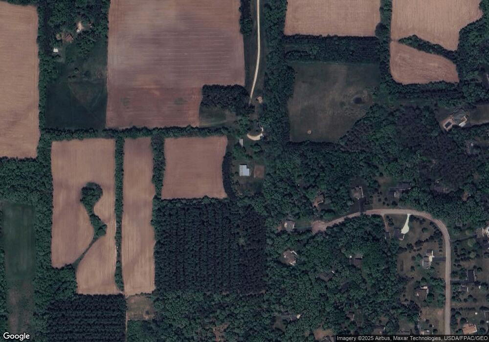
Map
Nearby Homes
- S4067 County Hwy A
- E11616 N Reedsburg Rd
- S4168 Crawford St
- S4121 Crawford St
- S4166 Crawford St
- 59.04 County Rd W
- 1505 Manassas Dr Unit 50
- 128 Monroe St
- 80.68 Acres Fox Hill Rd
- S4362 Fox Hill Cir
- 1500 15th St
- 1735 Crawford St Unit 8
- E11220 Birnam Woods Rd
- 1130 12th St Unit 1132
- 1116 12th St
- 727 11th St
- Lot 1 CSM 1231 Jefferson St
- 435 14th Ave
- 409 11th St
- S4166 Whispering Pines Dr
- S3644 N Bent Tree Dr
- S3646 N Bent Tree Dr
- S3650 N Bent Tree Dr
- S3643 N Bent Tree Dr
- S3654 N Bent Tree Dr
- s 3643 N Bent Tree Dr
- S3647 N Bent Tree Dr
- S3651 N Bent Tree Dr
- S3651A Bent Tree Dr
- S3651A N Bent Tree Dr
- S3655 N Bent Tree Dr
- S3658 N Bent Tree Dr
- E11920 Bent Tree Dr
- 34.69 ac Side Rd
- S3581 Pine Knoll Ct
- E11821 Side Rd
- E11928 Bent Tree Dr
- E11904 Side Rd
- S3663 N Bent Tree Dr
- S3660 N Bent Tree Dr
Your Personal Tour Guide
Ask me questions while you tour the home.