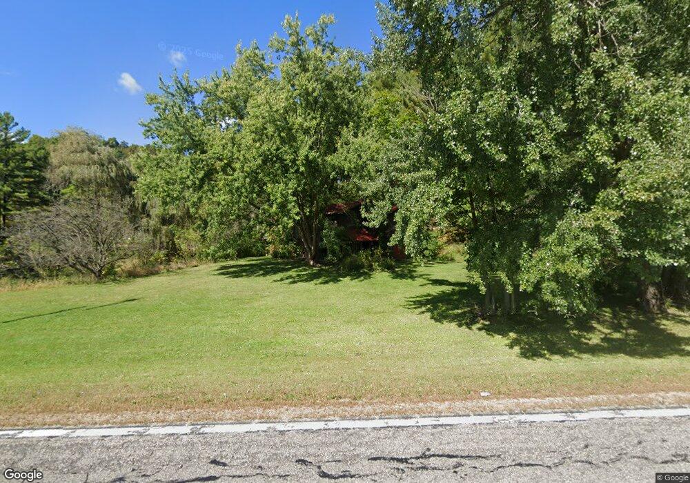
E14420 State Highway 82 La Farge, WI 54639
Estimated Value: $288,000 - $359,000
--
Bed
--
Bath
--
Sq Ft
10
Acres
About This Home
This home is located at E14420 State Highway 82, La Farge, WI 54639 and is currently estimated at $331,219. E14420 State Highway 82 is a home located in Vernon County with nearby schools including Kickapoo Elementary School and Kickapoo High School.
Ownership History
Date
Name
Owned For
Owner Type
Purchase Details
Closed on
Nov 15, 2013
Sold by
Walbrun Jeffrey J
Bought by
Klousia Jim C
Current Estimated Value
Home Financials for this Owner
Home Financials are based on the most recent Mortgage that was taken out on this home.
Original Mortgage
$113,600
Outstanding Balance
$84,952
Interest Rate
4.3%
Mortgage Type
New Conventional
Estimated Equity
$246,267
Purchase Details
Closed on
Nov 20, 2009
Sold by
Bank Of America Na
Bought by
Walbrun Jeffrey J and Walbrun Molly K
Home Financials for this Owner
Home Financials are based on the most recent Mortgage that was taken out on this home.
Original Mortgage
$71,200
Interest Rate
5.11%
Mortgage Type
New Conventional
Purchase Details
Closed on
Aug 10, 2009
Sold by
Moungey Tyrone D
Bought by
Bank Of America National Assn
Create a Home Valuation Report for This Property
The Home Valuation Report is an in-depth analysis detailing your home's value as well as a comparison with similar homes in the area
Home Values in the Area
Average Home Value in this Area
Purchase History
| Date | Buyer | Sale Price | Title Company |
|---|---|---|---|
| Klousia Jim C | $142,000 | -- | |
| Walbrun Jeffrey J | $89,000 | -- | |
| Bank Of America National Assn | -- | -- |
Source: Public Records
Mortgage History
| Date | Status | Borrower | Loan Amount |
|---|---|---|---|
| Open | Klousia Jim C | $113,600 | |
| Previous Owner | Walbrun Jeffrey J | $71,200 |
Source: Public Records
Tax History Compared to Growth
Tax History
| Year | Tax Paid | Tax Assessment Tax Assessment Total Assessment is a certain percentage of the fair market value that is determined by local assessors to be the total taxable value of land and additions on the property. | Land | Improvement |
|---|---|---|---|---|
| 2024 | $2,695 | $143,500 | $22,500 | $121,000 |
| 2023 | $2,545 | $143,500 | $22,500 | $121,000 |
| 2022 | $2,717 | $143,500 | $22,500 | $121,000 |
| 2021 | $2,789 | $143,500 | $22,500 | $121,000 |
| 2020 | $3,069 | $143,500 | $22,500 | $121,000 |
| 2019 | $2,774 | $143,500 | $22,500 | $121,000 |
| 2018 | $2,788 | $143,500 | $22,500 | $121,000 |
| 2017 | $2,784 | $143,500 | $22,500 | $121,000 |
| 2016 | $2,898 | $143,500 | $22,500 | $121,000 |
| 2015 | $3,740 | $143,500 | $22,500 | $121,000 |
| 2014 | $3,036 | $143,500 | $22,500 | $121,000 |
| 2013 | $3,197 | $148,500 | $24,700 | $123,800 |
Source: Public Records
Map
Nearby Homes
- E14329 Jug Creek Rd
- E15520 Wisconsin 82
- 16195 Coy Ln
- S4890 Pine Ave
- 19020 Seeley Ridge Rd
- 0 Booth Ln
- 126.75 acres Booth Ln
- 320 N Pine St
- 249 S State St
- 243 S State St
- 113 N Bird St
- 206 S Silver St
- 415 N Gold St
- 621 N Mill St
- 637 N Mill St
- S4501 County Road H
- 504 W Main St
- E14146 Burr Salem Rd
- 0 Saint Johns Ave
- S5975 Plainview Ln
- E14420 State Highway 82
- S3938 Daughbaugh Ln
- S3826 Canyon Ave
- S3827 Canyon Ave
- 0000 S Canyon Rd
- S3767 Canyon Ave Unit A
- S3744 Canyon Ave
- S4075 Canyon Ave
- E14239 State Highway 82
- E15037 State Highway 82
- E15037 State Highway 82
- E15037 State Highway 82
- E15037 State Highway 82
- S4008 Canyon Ave
- S4084 Canyon Ave
- E14208 State Highway 82
- S3718 Canyon Ave
- S3682 Canyon Ave
- E14605 State Highway 82
- S3701 Canyon Ave