E1572 Red Pine Dr Waupaca, WI 54981
Estimated Value: $230,000 - $308,000
3
Beds
2
Baths
1,344
Sq Ft
$201/Sq Ft
Est. Value
About This Home
This home is located at E1572 Red Pine Dr, Waupaca, WI 54981 and is currently estimated at $270,000, approximately $200 per square foot. E1572 Red Pine Dr is a home located in Waupaca County with nearby schools including Waupaca Learning Center Elementary School, Waupaca Middle School, and Waupaca High School.
Ownership History
Date
Name
Owned For
Owner Type
Purchase Details
Closed on
Mar 7, 2011
Sold by
Stearns Ronald K and Stearns Barbara J
Bought by
Ehrhardt James J and Ehrhardt Mary Jo
Current Estimated Value
Purchase Details
Closed on
Oct 30, 2006
Sold by
Stearns Ronald K and Stearns Barbara J
Bought by
Ehrhardt James J and Ehrhardt Mary Jo
Home Financials for this Owner
Home Financials are based on the most recent Mortgage that was taken out on this home.
Original Mortgage
$69,412
Interest Rate
6.45%
Mortgage Type
Purchase Money Mortgage
Create a Home Valuation Report for This Property
The Home Valuation Report is an in-depth analysis detailing your home's value as well as a comparison with similar homes in the area
Home Values in the Area
Average Home Value in this Area
Purchase History
| Date | Buyer | Sale Price | Title Company |
|---|---|---|---|
| Ehrhardt James J | -- | None Available | |
| Ehrhardt James J | $60,200 | None Available |
Source: Public Records
Mortgage History
| Date | Status | Borrower | Loan Amount |
|---|---|---|---|
| Previous Owner | Ehrhardt James J | $69,412 |
Source: Public Records
Tax History Compared to Growth
Tax History
| Year | Tax Paid | Tax Assessment Tax Assessment Total Assessment is a certain percentage of the fair market value that is determined by local assessors to be the total taxable value of land and additions on the property. | Land | Improvement |
|---|---|---|---|---|
| 2024 | $2,232 | $208,600 | $50,600 | $158,000 |
| 2023 | $2,232 | $208,600 | $50,600 | $158,000 |
| 2022 | $2,306 | $139,100 | $31,600 | $107,500 |
| 2021 | $2,192 | $139,100 | $31,600 | $107,500 |
| 2020 | $1,930 | $128,300 | $31,600 | $96,700 |
| 2019 | $1,946 | $128,300 | $31,600 | $96,700 |
| 2018 | $2,301 | $128,300 | $31,600 | $96,700 |
| 2017 | $2,443 | $128,300 | $31,600 | $96,700 |
| 2016 | $2,304 | $128,300 | $31,600 | $96,700 |
| 2015 | $2,334 | $128,300 | $31,600 | $96,700 |
| 2014 | $2,245 | $120,400 | $31,600 | $88,800 |
| 2013 | $2,224 | $120,400 | $31,600 | $88,800 |
Source: Public Records
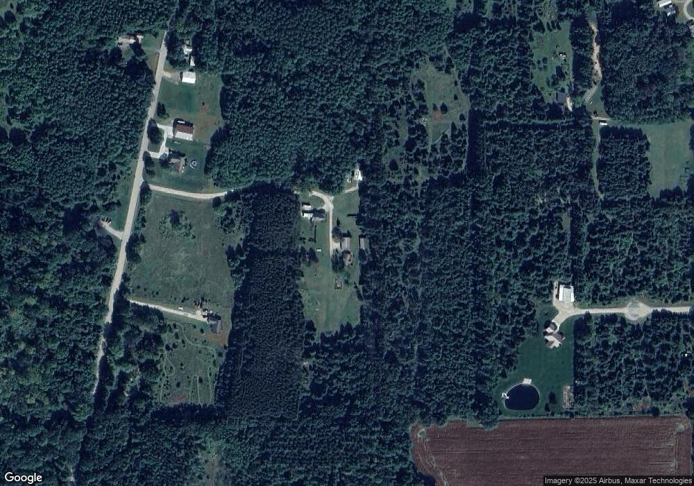
Map
Nearby Homes
- E1457 Rural Rd
- N2475 E Miner Dr
- E2041 Meadowlark Ln
- E1396 Grandview Rd
- 0 State Road 22 Unit 50271805
- 0 State Road 22 Unit 50271804
- E1280 County Road Q Unit 3
- E1400 Stratton Lake Rd
- E1761 Amy St
- N2371 Long Cove Dr
- E1852 King Rd
- N2645 Pleasant Park Ln
- N1983 Evergreen Ln
- N2577 Ottman Dr
- N1705 Virginia Dr
- E2319 Parfreyville Rd
- N2071 Mary Jane Cir
- E2086 King Rd
- E1747 Pine Ridge Ln
- N1903 Virginia Dr
- E1579 Red Pine Dr
- E1563 Red Pine Dr
- N2140 Old Highway 22
- N2180 Old Highway 22
- N2190 Old Highway 22
- E1682 Wilderness Rd
- N2126 Old Highway 22
- n 2153 Old Highway 22
- N2153 Old Highway 22
- N2220 Old Highway 22
- N2403 Old Highway 22
- N2223 Smith Rd
- N2221 Old Highway 22
- N2221 Old Highway 22
- N2274 Old Highway 22
- N2074 Old Highway 22
- 2274 Old Highway 22
- N2209 Smith Rd
- E1715 Wilderness Rd
- N2237 Smith Rd