E2580 Nelson Rd Waupaca, WI 54981
Estimated Value: $245,000 - $464,000
3
Beds
--
Bath
1,364
Sq Ft
$259/Sq Ft
Est. Value
About This Home
This home is located at E2580 Nelson Rd, Waupaca, WI 54981 and is currently estimated at $353,565, approximately $259 per square foot. E2580 Nelson Rd is a home located in Waupaca County with nearby schools including Waupaca Learning Center Elementary School, Waupaca Middle School, and Waupaca High School.
Create a Home Valuation Report for This Property
The Home Valuation Report is an in-depth analysis detailing your home's value as well as a comparison with similar homes in the area
Tax History
| Year | Tax Paid | Tax Assessment Tax Assessment Total Assessment is a certain percentage of the fair market value that is determined by local assessors to be the total taxable value of land and additions on the property. | Land | Improvement |
|---|---|---|---|---|
| 2024 | $2,998 | $264,000 | $45,800 | $218,200 |
| 2023 | $2,874 | $156,400 | $24,300 | $132,100 |
| 2022 | $2,367 | $156,400 | $24,300 | $132,100 |
| 2021 | $2,463 | $156,400 | $24,300 | $132,100 |
| 2020 | $2,463 | $156,400 | $24,300 | $132,100 |
| 2019 | $2,503 | $156,400 | $24,300 | $132,100 |
| 2018 | $2,797 | $156,400 | $24,300 | $132,100 |
| 2017 | $2,899 | $156,400 | $24,300 | $132,100 |
| 2016 | $2,761 | $156,400 | $24,300 | $132,100 |
| 2015 | $2,950 | $156,400 | $24,300 | $132,100 |
| 2014 | $2,961 | $156,400 | $24,300 | $132,100 |
| 2013 | $2,964 | $156,400 | $24,300 | $132,100 |
Source: Public Records
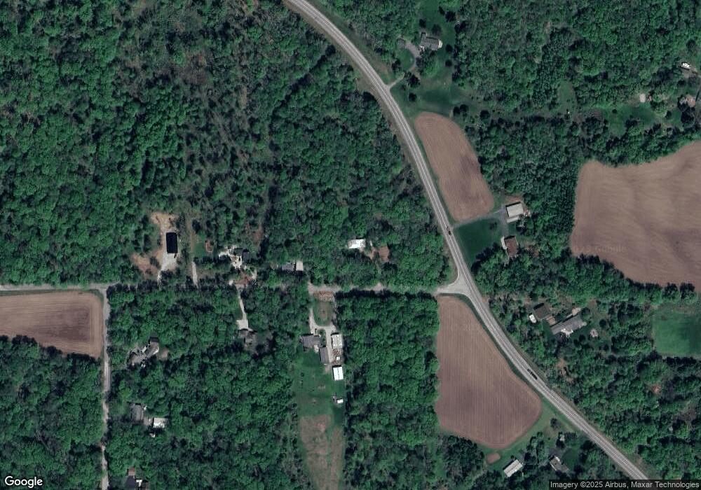
Map
Nearby Homes
- N4535 Oakland Dr
- N4221 Oakland Dr
- 901 Thomas Trail
- 833 Woodland Cir
- E2315 Woodridge Dr
- 651 Leighton Rd
- 694 Leighton Rd
- 310 Granite St
- N3405 Covered Bridge Rd
- 315 Granite St
- E1628 River Wood Dr
- 608 W Union St
- 113 N State St
- 0 Feathers Ct Unit 20803048
- 0 N Hill Rd Unit 20803046
- 0 N Hill Rd Unit 20803055
- 0 N Hill Rd Unit 20803057
- 1015 W Fulton St
- 0 Constance Rd Unit 20803051
- 0 Constance Rd Unit 50285836
- E2558 Nelson Rd
- E2561 Nelson Rd
- E2541 Nelson Rd
- N4506 State Road 49
- N4540 State Road 49
- E2512 Nelson Rd
- N4488 Ware Rd
- N4540 Wisconsin 49
- N4455 State Road 49
- N4460 Ware Rd
- N4440 Ware Rd
- N4553 Elm Valley Rd
- N4406 Ware Rd
- N4376 Ware Rd
- E2558 White Tail Trail
- N4611 State Road 49
- E2546 White Tail Trail
- E2580 White Tail Trail
- E2580 White Tail Trail
- N4351 State Road 49
Your Personal Tour Guide
Ask me questions while you tour the home.