E2580 White Tail Trail Waupaca, WI 54981
Estimated Value: $474,000 - $667,123
4
Beds
4
Baths
4,194
Sq Ft
$139/Sq Ft
Est. Value
About This Home
This home is located at E2580 White Tail Trail, Waupaca, WI 54981 and is currently estimated at $582,031, approximately $138 per square foot. E2580 White Tail Trail is a home located in Waupaca County with nearby schools including Waupaca Learning Center Elementary School, Waupaca Middle School, and Waupaca High School.
Ownership History
Date
Name
Owned For
Owner Type
Purchase Details
Closed on
Feb 24, 2021
Sold by
Rodtke Clifford J and Rodtke Family Trust
Bought by
Leider Nathan P and Rlt Celeste
Current Estimated Value
Purchase Details
Closed on
Oct 19, 2007
Sold by
Oconnell Michael A
Bought by
Radtke Family Trust
Purchase Details
Closed on
Feb 3, 2005
Sold by
Koeppler Timothy D and Koeppler Sharon A
Bought by
Oconnell Michael A
Create a Home Valuation Report for This Property
The Home Valuation Report is an in-depth analysis detailing your home's value as well as a comparison with similar homes in the area
Home Values in the Area
Average Home Value in this Area
Purchase History
| Date | Buyer | Sale Price | Title Company |
|---|---|---|---|
| Leider Nathan P | $469,900 | None Available | |
| Radtke Family Trust | $52,000 | None Available | |
| Oconnell Michael A | $40,000 | None Available |
Source: Public Records
Tax History Compared to Growth
Tax History
| Year | Tax Paid | Tax Assessment Tax Assessment Total Assessment is a certain percentage of the fair market value that is determined by local assessors to be the total taxable value of land and additions on the property. | Land | Improvement |
|---|---|---|---|---|
| 2024 | $5,582 | $505,700 | $60,800 | $444,900 |
| 2023 | $5,582 | $312,400 | $23,000 | $289,400 |
| 2022 | $3,954 | $255,600 | $23,000 | $232,600 |
| 2021 | $4,175 | $255,600 | $23,000 | $232,600 |
| 2020 | $4,139 | $255,600 | $23,000 | $232,600 |
| 2019 | $4,215 | $255,600 | $23,000 | $232,600 |
| 2018 | $4,736 | $255,600 | $23,000 | $232,600 |
| 2017 | $4,747 | $255,600 | $23,000 | $232,600 |
| 2016 | $4,608 | $253,600 | $23,000 | $230,600 |
| 2015 | $4,830 | $253,600 | $23,000 | $230,600 |
| 2014 | $4,847 | $253,600 | $23,000 | $230,600 |
| 2013 | $4,848 | $253,600 | $23,000 | $230,600 |
Source: Public Records
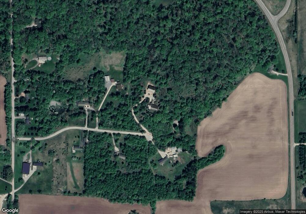
Map
Nearby Homes
- 920 Thomas Trail
- 901 Thomas Trail
- 908 Honey Bear Ln
- E2264 Meadow Valley Ct
- 401 Bailey St
- 340 North St
- 409 Scott St
- 203 Vista Ct
- 200 Vista Ct
- 200 Prairie View Ct
- 0 Nichols Creek Rd Unit 20803047
- 611 W Fulton St
- 0 Covered Bridge Rd Unit 50292957
- 113 N State St
- E1628 River Wood Dr
- N3480 Feathers Ct
- 0 Feathers Ct Unit 20803048
- 213 S Franklin St
- 0 N Hill Rd Unit 20803057
- 0 N Hill Rd Unit 20803055
- E2580 White Tail Trail
- e 2596 White Tail Trail
- E2596 White Tail Trail
- E2558 White Tail Trail
- E2599 White Tail Trail
- E2567 White Tail Trail
- E2567 White Tail Trail
- E2546 White Tail Trail
- E2547 White Tail Trail
- E2547 White Tail Trail
- N4376 Ware Rd
- N4364 Ware Rd
- N4350 Ware Rd
- E2513 White Tail Trail
- N4351 State Road 49
- N4455 State Road 49
- N4406 Ware Rd
- - State Highway 49
- 0 Ware Rd Unit 20805491
- 0 Ware Rd Unit 20805492