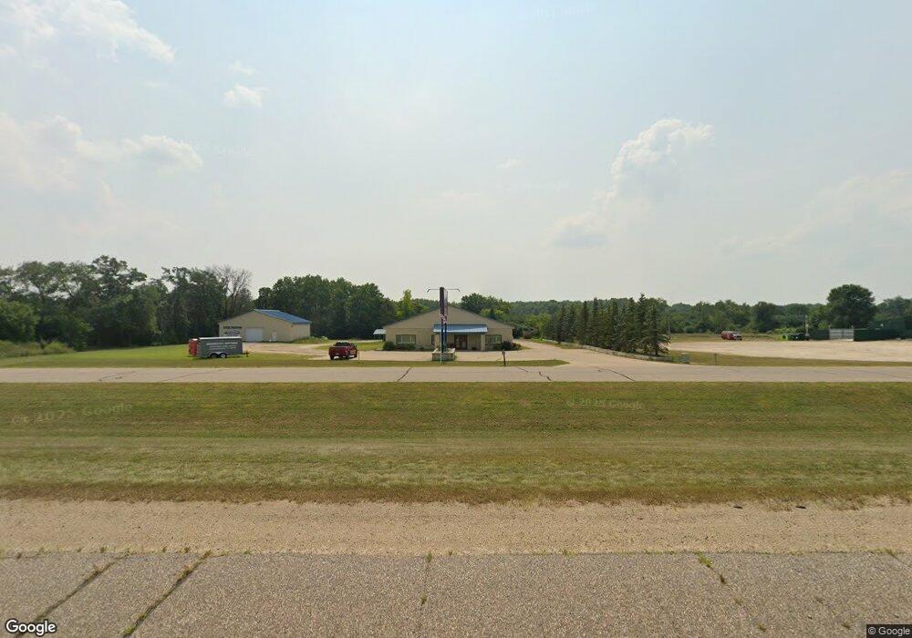
E4355 E Gate Dr Waupaca, WI 54981
Estimated Value: $571,404
Studio
--
Bath
--
Sq Ft
83,200
Sq Ft Lot
About This Home
This home is located at E4355 E Gate Dr, Waupaca, WI 54981 and is currently estimated at $571,404. E4355 E Gate Dr is a home located in Waupaca County with nearby schools including Waupaca Learning Center Elementary School, Waupaca Middle School, and Waupaca High School.
Ownership History
Date
Name
Owned For
Owner Type
Purchase Details
Closed on
Jan 6, 2022
Sold by
Gamerdinger and Linda
Bought by
Matthew Gamerdinger And Linda Gamerdinger Joi and Linda
Current Estimated Value
Purchase Details
Closed on
May 10, 2019
Sold by
Investors Community Bank
Bought by
Gamerdinger Matthew and Gamerdinger Linda
Purchase Details
Closed on
Sep 13, 2017
Sold by
Coast To Coast Llc
Bought by
Investors Community Bank
Create a Home Valuation Report for This Property
The Home Valuation Report is an in-depth analysis detailing your home's value as well as a comparison with similar homes in the area
Home Values in the Area
Average Home Value in this Area
Purchase History
| Date | Buyer | Sale Price | Title Company |
|---|---|---|---|
| Matthew Gamerdinger And Linda Gamerdinger Joi | -- | Brehmer Law Llc | |
| Gamerdinger Matthew | $705,000 | None Listed On Document | |
| Investors Community Bank | -- | None Available |
Source: Public Records
Tax History
| Year | Tax Paid | Tax Assessment Tax Assessment Total Assessment is a certain percentage of the fair market value that is determined by local assessors to be the total taxable value of land and additions on the property. | Land | Improvement |
|---|---|---|---|---|
| 2024 | $3,413 | $419,200 | $42,000 | $377,200 |
| 2023 | $3,413 | $239,100 | $16,400 | $222,700 |
| 2022 | $3,437 | $239,100 | $16,400 | $222,700 |
| 2021 | $3,822 | $239,100 | $16,400 | $222,700 |
| 2020 | $3,805 | $239,100 | $16,400 | $222,700 |
| 2019 | $4,524 | $251,100 | $35,000 | $216,100 |
| 2018 | $9,855 | $468,400 | $35,000 | $433,400 |
| 2017 | $9,288 | $468,400 | $35,000 | $433,400 |
| 2016 | $9,288 | $468,400 | $35,000 | $433,400 |
| 2015 | $9,568 | $468,400 | $35,000 | $433,400 |
| 2014 | $9,584 | $477,700 | $35,000 | $442,700 |
Source: Public Records
Map
Nearby Homes
- E4347 E Gate Dr
- 0 Runway Dr Unit 50291193
- 0 Runway Dr Unit 50256086
- 0 Commercial Dr Unit 50291246
- 0 Commercial Dr Unit 50312972
- 0 Commercial Dr Unit 50291198
- 0 Commercial Dr Unit 50312984
- 2333 Runway Dr
- 1545 Webster Way
- 0 State Road 22-54 Unit 50291195
- 0 State Road 22-54 Unit 50291197
- N2541 Farm Dr
- 0 Handrich Rd
- 1935 Huffcutt Ln
- 1933 Huffcutt Ln
- 1926 Huffcutt Ln
- 1929 Huffcutt Ln
- 1927 Huffcutt Ln
- E5407 Haire Rd
- E5248 White Lake Rd
- e 4355 E Gate Dr
- E4320 Us Highway 10 49
- E4471 Us Highway 10 49
- 0 E Gate Dr Unit 50215223
- 0 E Gate Dr Unit 50215224
- 0 E Gate Dr Unit 50022797
- 0 E Gate Dr Unit 50149389
- E4259 E Gate Dr
- E4259 E Gate Dr
- e 4366 Us Highway 10 49
- E4366 Us Highway 10 49
- E4217 E Gate Dr
- e 4217 E Gate Dr
- E4588 River Breeze Dr
- E4585 River Breeze Dr
- 0 River Breeze Dr
- E4594 River Breeze Dr
- E4608 Meadow Ln
- N2551 Harrington Rd
- N2460 Airport Rd
Your Personal Tour Guide
Ask me questions while you tour the home.