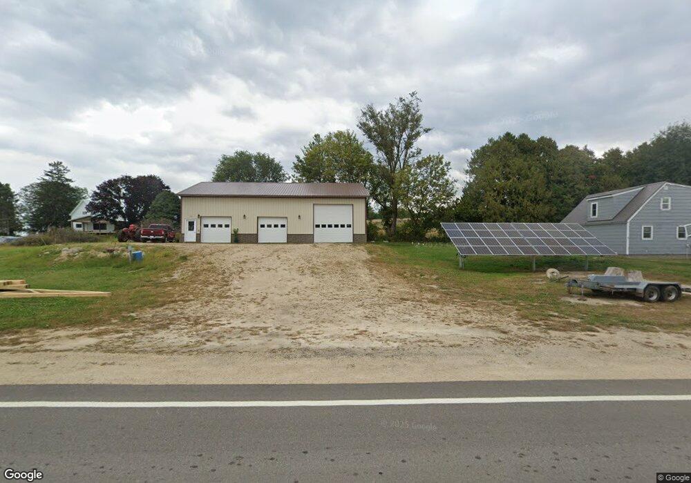
E4620 State Highway 82 Viroqua, WI 54665
Estimated Value: $101,798 - $269,000
--
Bed
--
Bath
--
Sq Ft
0.55
Acres
About This Home
This home is located at E4620 State Highway 82, Viroqua, WI 54665 and is currently estimated at $146,700. E4620 State Highway 82 is a home located in Vernon County with nearby schools including Viroqua Elementary School, Viroqua Middle School, and Viroqua High School.
Ownership History
Date
Name
Owned For
Owner Type
Purchase Details
Closed on
Mar 4, 2021
Sold by
Federal Home Loan Mortgage Corporation
Bought by
Christianson Steven
Current Estimated Value
Purchase Details
Closed on
Sep 2, 2020
Sold by
Needham Douglas Allen
Bought by
Federal Home Loan Mortgage Corp
Purchase Details
Closed on
Oct 24, 2008
Sold by
Beall Carroll R
Bought by
Needham Douglas Allen
Home Financials for this Owner
Home Financials are based on the most recent Mortgage that was taken out on this home.
Original Mortgage
$32,000
Interest Rate
6.11%
Mortgage Type
New Conventional
Create a Home Valuation Report for This Property
The Home Valuation Report is an in-depth analysis detailing your home's value as well as a comparison with similar homes in the area
Home Values in the Area
Average Home Value in this Area
Purchase History
| Date | Buyer | Sale Price | Title Company |
|---|---|---|---|
| Christianson Steven | $15,900 | Radian Settlement Svcs Inc | |
| Federal Home Loan Mortgage Corp | $292,842 | None Available | |
| Needham Douglas Allen | $40,000 | -- |
Source: Public Records
Mortgage History
| Date | Status | Borrower | Loan Amount |
|---|---|---|---|
| Previous Owner | Needham Douglas Allen | $32,000 |
Source: Public Records
Tax History Compared to Growth
Tax History
| Year | Tax Paid | Tax Assessment Tax Assessment Total Assessment is a certain percentage of the fair market value that is determined by local assessors to be the total taxable value of land and additions on the property. | Land | Improvement |
|---|---|---|---|---|
| 2024 | $471 | $25,200 | $6,600 | $18,600 |
| 2023 | $419 | $25,200 | $6,600 | $18,600 |
| 2022 | $121 | $6,600 | $6,600 | $0 |
| 2021 | $233 | $16,500 | $6,600 | $9,900 |
| 2020 | $319 | $16,900 | $7,200 | $9,700 |
| 2019 | $481 | $25,100 | $7,200 | $17,900 |
| 2018 | $748 | $34,600 | $7,200 | $27,400 |
| 2017 | $719 | $34,600 | $7,200 | $27,400 |
| 2016 | $688 | $34,600 | $7,200 | $27,400 |
| 2015 | $819 | $34,600 | $7,200 | $27,400 |
| 2014 | $667 | $34,600 | $7,200 | $27,400 |
| 2013 | $712 | $34,600 | $7,200 | $27,400 |
Source: Public Records
Map
Nearby Homes
- 6966 Johnson Ave
- S6966 Johnson Ave
- Tbd Weber Rd
- TBD Weber Rd
- S6205 Sidie Hollow Rd
- S5695 Nottingham Rd
- E2614 Bohland Hollow Rd
- S6901 Geesa Rd
- E2817 S Creek Rd
- S6998 Missel Rd
- Lot 9 Woodland Rd
- 13486 Gurnsey Dr
- 169.88± Acres Stump Ridge Rd
- 3.23 Acres Lot 76 & 77 Hawk Point Rd
- E21277 County Road Uu
- 13710 Airport Rd
- S4674 Erickson Ln
- 0 Stump Ridge Rd
- LOT 15 16th Fairway Dr
- S4676 Erickson Ln