E4637 Sunset View Ln Weyauwega, WI 54983
Estimated Value: $422,000 - $565,000
3
Beds
--
Bath
2,668
Sq Ft
$179/Sq Ft
Est. Value
About This Home
This home is located at E4637 Sunset View Ln, Weyauwega, WI 54983 and is currently estimated at $478,221, approximately $179 per square foot. E4637 Sunset View Ln is a home located in Waupaca County with nearby schools including Waupaca Learning Center Elementary School, Waupaca Middle School, and Waupaca High School.
Ownership History
Date
Name
Owned For
Owner Type
Purchase Details
Closed on
Mar 31, 2011
Sold by
Mittelstaedt Patricia G
Bought by
Mittelstaedt Paul T
Current Estimated Value
Home Financials for this Owner
Home Financials are based on the most recent Mortgage that was taken out on this home.
Original Mortgage
$210,000
Outstanding Balance
$145,691
Interest Rate
4.92%
Mortgage Type
Purchase Money Mortgage
Estimated Equity
$332,530
Purchase Details
Closed on
Mar 17, 2010
Sold by
Mittelstaedt Drexler Stacy and Mittelstaedt Stacy
Bought by
Mittelstaedt Patricia G
Create a Home Valuation Report for This Property
The Home Valuation Report is an in-depth analysis detailing your home's value as well as a comparison with similar homes in the area
Home Values in the Area
Average Home Value in this Area
Purchase History
| Date | Buyer | Sale Price | Title Company |
|---|---|---|---|
| Mittelstaedt Paul T | $210,000 | None Available | |
| Mittelstaedt Patricia G | -- | None Available |
Source: Public Records
Mortgage History
| Date | Status | Borrower | Loan Amount |
|---|---|---|---|
| Open | Mittelstaedt Paul T | $210,000 |
Source: Public Records
Tax History Compared to Growth
Tax History
| Year | Tax Paid | Tax Assessment Tax Assessment Total Assessment is a certain percentage of the fair market value that is determined by local assessors to be the total taxable value of land and additions on the property. | Land | Improvement |
|---|---|---|---|---|
| 2024 | $5,216 | $413,800 | $49,100 | $364,700 |
| 2023 | $5,216 | $291,300 | $31,400 | $259,900 |
| 2022 | $4,525 | $291,300 | $31,400 | $259,900 |
| 2021 | $4,792 | $291,300 | $31,400 | $259,900 |
| 2020 | $4,742 | $291,300 | $31,400 | $259,900 |
| 2019 | $4,838 | $291,300 | $31,400 | $259,900 |
| 2018 | $5,434 | $291,300 | $31,400 | $259,900 |
| 2017 | $5,463 | $291,300 | $31,400 | $259,900 |
| 2016 | $5,325 | $291,300 | $31,400 | $259,900 |
| 2015 | $5,559 | $291,300 | $31,400 | $259,900 |
| 2014 | $5,578 | $291,300 | $31,400 | $259,900 |
| 2013 | $5,579 | $291,300 | $31,400 | $259,900 |
Source: Public Records
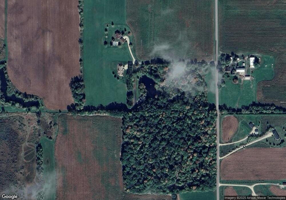
Map
Nearby Homes
- 0 State Highway 22 54
- 0 Handrich Rd
- 0 Commercial Dr Unit 50291246
- 0 Commercial Dr Unit 50312972
- 0 Commercial Dr Unit 50291198
- 0 Commercial Dr Unit 50312984
- E4347 E Gate Dr
- E5698 Waukaunaka St
- 1545 Webster Way
- 1927 Huffcutt Ln
- 1926 Huffcutt Ln
- 0 Runway Dr Unit 50291193
- 0 Runway Dr Unit 50256086
- 0 Runway Dr Unit 50179248
- 2333 Runway Dr
- 5599 County Road Aa
- 0 State Road 22-54 Unit 50291195
- 0 State Road 22-54 Unit 50291197
- 1019 Mill Pond Cir
- 1009 Mill Pond Cir
- N3336 S Military Rd
- N3270 S Military Rd
- N3268 S Military Rd
- E4710 State Road 22 54
- E4579 State Road 22 54
- 0 S Military Rd Unit 50127053
- 0 S Military Rd Unit 50086361
- E4830 State Road 22 54
- E4842 Hwy 54
- E4512 State Road 22 54
- 0 N Military Unit 50131599
- 0 N Military Unit 20902214
- 0 N Military Unit 50047188
- 0 N Military Unit 50053800
- 0 N Military Unit 50080942
- 0 N Military Unit 50081169
- N3618 N Military Rd
- E4490 State Road 22 54
- E4465 State Road 22 54
- E4922 State Road 22 54