E5671 N Shore Rd Weyauwega, WI 54983
Estimated Value: $322,000 - $426,000
3
Beds
--
Bath
1,344
Sq Ft
$279/Sq Ft
Est. Value
About This Home
This home is located at E5671 N Shore Rd, Weyauwega, WI 54983 and is currently estimated at $375,164, approximately $279 per square foot. E5671 N Shore Rd is a home located in Waupaca County with nearby schools including Weyauwega Elementary School, Weyauwega Middle School, and Weyauwega High School.
Ownership History
Date
Name
Owned For
Owner Type
Purchase Details
Closed on
Aug 26, 2015
Sold by
Oprean Betty J
Bought by
Oprean Betty J and Oprean Michael T
Current Estimated Value
Home Financials for this Owner
Home Financials are based on the most recent Mortgage that was taken out on this home.
Original Mortgage
$87,000
Outstanding Balance
$68,750
Interest Rate
4.09%
Mortgage Type
New Conventional
Estimated Equity
$306,414
Create a Home Valuation Report for This Property
The Home Valuation Report is an in-depth analysis detailing your home's value as well as a comparison with similar homes in the area
Home Values in the Area
Average Home Value in this Area
Purchase History
| Date | Buyer | Sale Price | Title Company |
|---|---|---|---|
| Oprean Betty J | $136,400 | None Available |
Source: Public Records
Mortgage History
| Date | Status | Borrower | Loan Amount |
|---|---|---|---|
| Open | Oprean Betty J | $87,000 |
Source: Public Records
Tax History Compared to Growth
Tax History
| Year | Tax Paid | Tax Assessment Tax Assessment Total Assessment is a certain percentage of the fair market value that is determined by local assessors to be the total taxable value of land and additions on the property. | Land | Improvement |
|---|---|---|---|---|
| 2024 | $4,198 | $290,700 | $96,100 | $194,600 |
| 2023 | $4,198 | $189,800 | $75,000 | $114,800 |
| 2022 | $3,871 | $188,300 | $75,000 | $113,300 |
| 2021 | $3,760 | $188,300 | $75,000 | $113,300 |
| 2020 | $3,637 | $188,300 | $75,000 | $113,300 |
| 2019 | $3,505 | $188,300 | $75,000 | $113,300 |
| 2018 | $3,765 | $188,300 | $75,000 | $113,300 |
| 2017 | $2,900 | $188,300 | $75,000 | $113,300 |
| 2016 | $2,900 | $188,300 | $75,000 | $113,300 |
| 2015 | $2,888 | $188,300 | $75,000 | $113,300 |
| 2014 | $2,937 | $188,300 | $75,000 | $113,300 |
| 2013 | $3,113 | $188,300 | $75,000 | $113,300 |
Source: Public Records
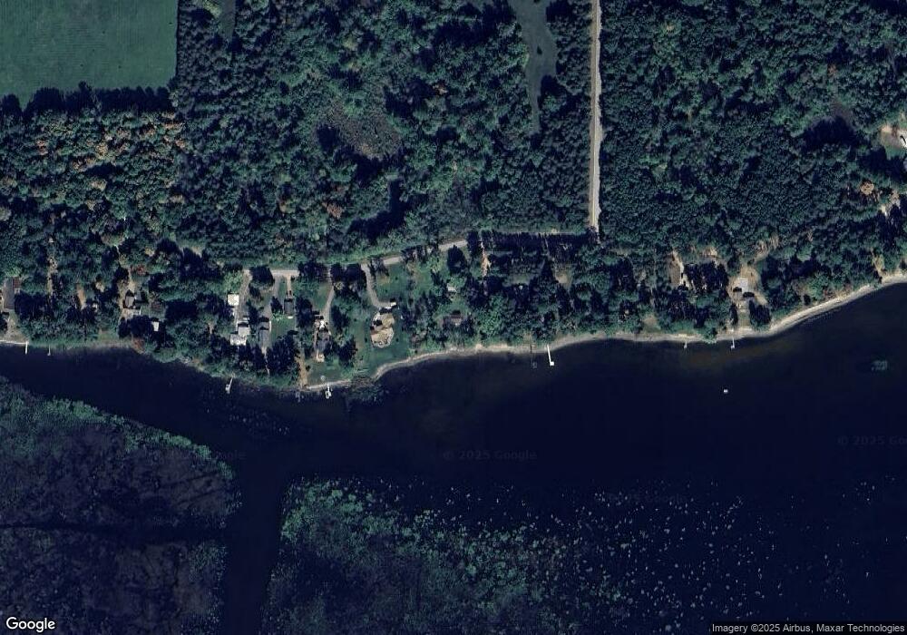
Map
Nearby Homes
- 5599 County Road Aa
- 1019 Mill Pond Cir
- 0 Guth Rd Unit 50315739
- 1009 Mill Pond Cir
- 201 2nd Ave
- 0 State Highway 22 54
- 103 W Main St
- 0 Handrich Rd
- 0 Wisconsin 49
- 0 Hillside Dr Unit 50308768
- 0 Hillside Dr Unit 50311949
- E4347 E Gate Dr
- 0 Commercial Dr Unit 50291246
- 0 Commercial Dr Unit 50312972
- 0 Commercial Dr Unit 50291198
- 0 Commercial Dr Unit 50312984
- 0 Runway Dr Unit 50291193
- 0 Runway Dr Unit 50256086
- 0 Runway Dr Unit 50179248
- N2837 Ona Pines Rd
- E5675 N Shore Rd
- E5647 N Shore Rd
- E5687 N Shore Rd
- E5693 N Shore Rd
- E5639 N Shore Rd
- E5629 N Shore Rd
- N5903 N Shore Rd
- E5625 N Shore Rd
- E5809 N Shore Rd
- E5617 N Shore Rd
- E5817 N Shore Rd
- E5823 N Shore Rd
- E5829 N Shore Rd
- E5581 N Shore Rd
- E5577 N Shore Rd
- E5839 N Shore Rd
- E5569 N Shore Rd
- E5861 N Shore Rd
- E5565 N Shore Rd
- E5565 N Shore Rd