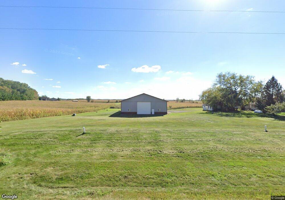
E5772 490th Ave Menomonie, WI 54751
Estimated Value: $324,000 - $408,000
3
Beds
2
Baths
1,800
Sq Ft
$196/Sq Ft
Est. Value
About This Home
This home is located at E5772 490th Ave, Menomonie, WI 54751 and is currently estimated at $352,328, approximately $195 per square foot. E5772 490th Ave is a home located in Dunn County with nearby schools including Oaklawn Elementary School, Menomonie Middle School, and Menomonie High School.
Ownership History
Date
Name
Owned For
Owner Type
Purchase Details
Closed on
Jan 2, 2013
Sold by
Federal Hm Ln Mtg Corp
Bought by
Sleichert Collin J and Sleichert Teresa A
Current Estimated Value
Home Financials for this Owner
Home Financials are based on the most recent Mortgage that was taken out on this home.
Original Mortgage
$100,000
Interest Rate
2.9%
Mortgage Type
New Conventional
Create a Home Valuation Report for This Property
The Home Valuation Report is an in-depth analysis detailing your home's value as well as a comparison with similar homes in the area
Home Values in the Area
Average Home Value in this Area
Purchase History
| Date | Buyer | Sale Price | Title Company |
|---|---|---|---|
| Sleichert Collin J | $127,000 | Chicago Title Servicelink Div |
Source: Public Records
Mortgage History
| Date | Status | Borrower | Loan Amount |
|---|---|---|---|
| Previous Owner | Sleichert Collin J | $100,000 |
Source: Public Records
Tax History Compared to Growth
Tax History
| Year | Tax Paid | Tax Assessment Tax Assessment Total Assessment is a certain percentage of the fair market value that is determined by local assessors to be the total taxable value of land and additions on the property. | Land | Improvement |
|---|---|---|---|---|
| 2024 | $3,282 | $297,500 | $41,600 | $255,900 |
| 2023 | $3,335 | $297,500 | $41,600 | $255,900 |
| 2022 | $3,234 | $171,400 | $22,700 | $148,700 |
| 2021 | $3,405 | $171,400 | $22,700 | $148,700 |
| 2020 | $3,422 | $171,400 | $22,700 | $148,700 |
| 2019 | $3,210 | $171,400 | $22,700 | $148,700 |
| 2018 | $3,038 | $171,400 | $22,700 | $148,700 |
| 2017 | $3,083 | $171,400 | $22,700 | $148,700 |
| 2016 | $3,198 | $171,400 | $22,700 | $148,700 |
| 2015 | $3,101 | $171,400 | $22,700 | $148,700 |
| 2014 | $3,171 | $171,400 | $22,700 | $148,700 |
| 2013 | $2,462 | $134,700 | $22,700 | $112,000 |
Source: Public Records
Map
Nearby Homes
- E5690 510th Ave
- 4762 600th St
- E5695 510th Ave
- Lot 23 558th St
- Lot 22 558th St
- N5144 558th St
- N5024 558th St
- N5134 557th St
- 5151 N 557th St
- E5691 510th Ave
- 3868 Nicholas Dr
- 3634 Nicholas Dr
- 1805 11th Ave E Unit Lot 19
- 1765 11th Ave E Unit Lot 17
- 1761 11th Ave E Unit Lot 16
- 5800 E Us Highway 12 Road 29
- 1402 16th Ave E
- 1762 Wilson Ave
- Lot 1 CSM 4775 & Lot 500th St
- 5684 U S 12
- 5772 490th Ave
- N4914 577th St
- n 4914 577th St
- E5787 490th Ave
- E5787 490th Ave
- E5787 490th Ave
- N4915 577th St
- N4915 577th St
- E5787 490th Ave
- e 5787 490th Ave
- N4915 N4915 N 577th St N
- n 4915 577th St
- E5728 490th Ave
- 4932 577th St
- Lot 1 577th St
- Lot 13 577th St
- N8138 577th St
- N8092 577th St
- Lot 10 577th St
- E5848 490th Ave