E5800 Little River Rd Weyauwega, WI 54983
Estimated Value: $189,000 - $347,000
3
Beds
--
Bath
1,706
Sq Ft
$170/Sq Ft
Est. Value
About This Home
This home is located at E5800 Little River Rd, Weyauwega, WI 54983 and is currently estimated at $289,630, approximately $169 per square foot. E5800 Little River Rd is a home located in Waupaca County with nearby schools including Weyauwega Elementary School, Weyauwega Middle School, and Weyauwega High School.
Ownership History
Date
Name
Owned For
Owner Type
Purchase Details
Closed on
Dec 13, 2023
Sold by
Duxbury Kurt G and Duxbury Annamarie D
Bought by
Duxbury Kurt G and Duxbury Annamarie D
Current Estimated Value
Home Financials for this Owner
Home Financials are based on the most recent Mortgage that was taken out on this home.
Original Mortgage
$318,250
Outstanding Balance
$312,906
Interest Rate
7.44%
Mortgage Type
New Conventional
Estimated Equity
-$23,276
Purchase Details
Closed on
Dec 8, 2016
Sold by
Schabo Sheila A and Stuyvenberg Dennis P
Bought by
Duxbury Kurt G and Duxbury Annamarie D
Create a Home Valuation Report for This Property
The Home Valuation Report is an in-depth analysis detailing your home's value as well as a comparison with similar homes in the area
Home Values in the Area
Average Home Value in this Area
Purchase History
| Date | Buyer | Sale Price | Title Company |
|---|---|---|---|
| Duxbury Kurt G | -- | None Listed On Document | |
| Duxbury Kurt G | $1,087,500 | None Available |
Source: Public Records
Mortgage History
| Date | Status | Borrower | Loan Amount |
|---|---|---|---|
| Open | Duxbury Kurt G | $318,250 |
Source: Public Records
Tax History Compared to Growth
Tax History
| Year | Tax Paid | Tax Assessment Tax Assessment Total Assessment is a certain percentage of the fair market value that is determined by local assessors to be the total taxable value of land and additions on the property. | Land | Improvement |
|---|---|---|---|---|
| 2024 | $5,215 | $213,400 | $25,100 | $188,300 |
| 2023 | $5,215 | $264,700 | $55,400 | $209,300 |
| 2022 | $4,933 | $264,600 | $55,300 | $209,300 |
| 2021 | $4,930 | $264,600 | $55,300 | $209,300 |
| 2020 | $4,989 | $264,500 | $55,200 | $209,300 |
| 2019 | $5,051 | $264,400 | $55,100 | $209,300 |
| 2018 | $4,804 | $264,400 | $55,100 | $209,300 |
| 2017 | $4,400 | $264,400 | $55,100 | $209,300 |
| 2016 | $4,303 | $264,400 | $55,100 | $209,300 |
| 2015 | $4,499 | $264,400 | $55,100 | $209,300 |
| 2014 | $4,505 | $264,400 | $55,100 | $209,300 |
| 2013 | $4,797 | $264,400 | $55,100 | $209,300 |
Source: Public Records
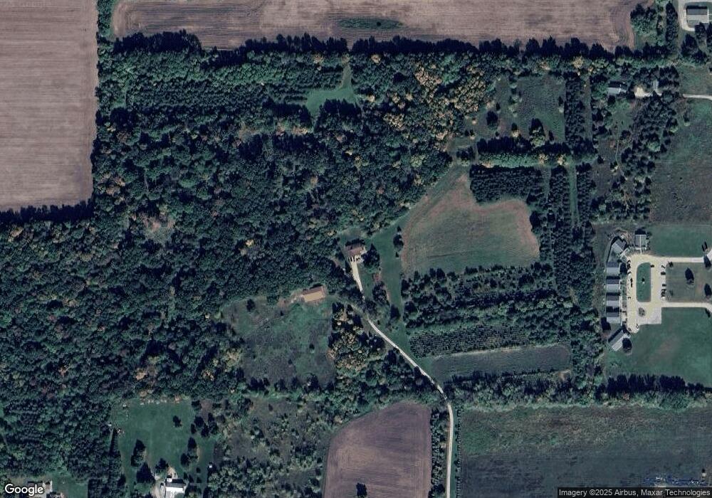
Map
Nearby Homes
- E6041 Evanswood Rd
- 0 Hillside Dr Unit 50311949
- 0 Hillside Dr Unit 50308768
- 0 Wisconsin 49
- 711 S Mary St
- 111 W Parker St
- 110 W Sumner St
- 514 E Main St
- 205 W Main St
- 103 W Main St
- 217 E Main St
- 201 2nd Ave
- 0 M Behm Ave
- 0 Ave
- 1009 Mill Pond Cir
- 1019 Mill Pond Cir
- 1003 Mill Pond Cir
- 1010A/B Mill Pond Cir
- 1028 Mill Pond Cir
- 1022 Mill Pond Cir
- E5710 Little River Rd
- N1589 Us Highway 10 S
- E5682 Little River Rd
- E5849 Little River Rd
- E5630 Little River Rd
- E5881 Little River Rd
- E5618 Little River Rd
- E5624 Little River Rd
- N1719 Frontage Rd
- N1430 Us Highway 10 S
- E5917 Haffner Rd
- E5604 Little River Rd
- e 5917 Haffner Rd
- E5909 Evanswood Rd
- E5561 Little River Rd
- E5580 Little River Rd
- E5925 Evanswood Rd
- E5936 Evanswood Rd
- N1355 Us Highway 10
- N1382 Us Highway 10 S