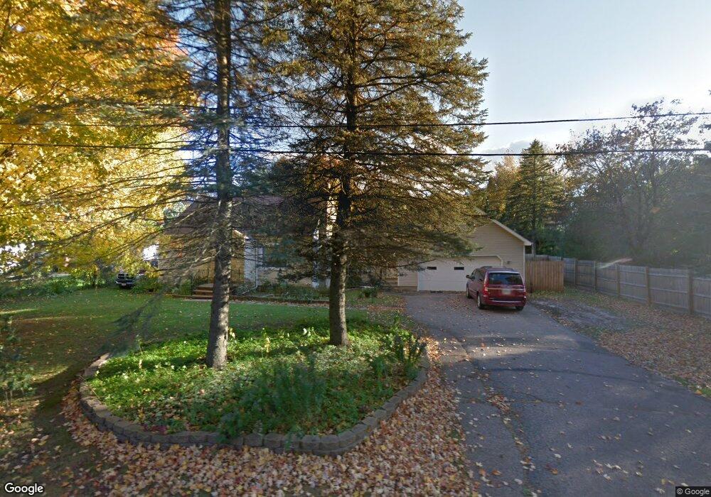
E5869 Clark St Weyauwega, WI 54983
Estimated Value: $173,000 - $232,000
2
Beds
--
Bath
1,160
Sq Ft
$163/Sq Ft
Est. Value
About This Home
This home is located at E5869 Clark St, Weyauwega, WI 54983 and is currently estimated at $189,330, approximately $163 per square foot. E5869 Clark St is a home located in Waupaca County with nearby schools including Weyauwega Elementary School, Weyauwega Middle School, and Weyauwega High School.
Ownership History
Date
Name
Owned For
Owner Type
Purchase Details
Closed on
Dec 30, 2021
Sold by
Young Carl C
Bought by
Young Carl C and Young Carol L
Current Estimated Value
Home Financials for this Owner
Home Financials are based on the most recent Mortgage that was taken out on this home.
Original Mortgage
$124,800
Outstanding Balance
$91,207
Interest Rate
3.12%
Mortgage Type
New Conventional
Estimated Equity
$98,123
Create a Home Valuation Report for This Property
The Home Valuation Report is an in-depth analysis detailing your home's value as well as a comparison with similar homes in the area
Home Values in the Area
Average Home Value in this Area
Purchase History
| Date | Buyer | Sale Price | Title Company |
|---|---|---|---|
| Young Carl C | -- | Krause & Krause |
Source: Public Records
Mortgage History
| Date | Status | Borrower | Loan Amount |
|---|---|---|---|
| Open | Young Carl C | $124,800 |
Source: Public Records
Tax History Compared to Growth
Tax History
| Year | Tax Paid | Tax Assessment Tax Assessment Total Assessment is a certain percentage of the fair market value that is determined by local assessors to be the total taxable value of land and additions on the property. | Land | Improvement |
|---|---|---|---|---|
| 2024 | $2,335 | $115,700 | $9,600 | $106,100 |
| 2023 | $2,335 | $115,700 | $9,600 | $106,100 |
| 2022 | $1,940 | $115,700 | $9,600 | $106,100 |
| 2021 | $1,951 | $115,700 | $9,600 | $106,100 |
| 2020 | $2,070 | $115,700 | $9,600 | $106,100 |
| 2019 | $2,074 | $115,700 | $9,600 | $106,100 |
| 2018 | $2,070 | $115,700 | $9,600 | $106,100 |
| 2017 | $1,998 | $115,700 | $9,600 | $106,100 |
| 2016 | $1,901 | $115,700 | $9,600 | $106,100 |
| 2015 | $2,037 | $115,700 | $9,600 | $106,100 |
| 2014 | $2,040 | $115,700 | $9,600 | $106,100 |
| 2013 | $2,158 | $115,700 | $9,600 | $106,100 |
Source: Public Records
Map
Nearby Homes
- 0 Hillside Dr Unit 50308768
- 0 Hillside Dr Unit 50311949
- 0 Wisconsin 49
- 103 W Main St
- 201 2nd Ave
- 1009 Mill Pond Cir
- 1019 Mill Pond Cir
- 5599 County Road Aa
- 0 Koplien Rd Unit 50309317
- 0 Guth Rd Unit 50315739
- E5975 Sunset Ct
- E4347 E Gate Dr
- N555 Brown Rd
- N2837 Ona Pines Rd
- N2833 Ona Pines Rd
- N2719 Ona Pines Rd
- N459 County Road U
- 0 Runway Dr Unit 50291193
- 0 Runway Dr Unit 50256086
- 0 Runway Dr Unit 50179248
- 102 E Clark St
- E5861 Clark St
- E5881 Clark St
- 709 S Mill St
- 0 Clark St Unit 20806350
- 0 Clark St Unit 50221546
- 0 Clark St Unit 20803222
- 0 Clark St Unit 50119422
- E5889 Clark St
- E5860 Hillside Dr
- 705 S Mill St
- E5866 Hillside Dr
- E5846 Hillside Dr
- 700 S Mill St
- E5839 Clark St
- 107 E South St
- 701 S Mill St
- 108 108 E Clark St
- 108 Clark St
- 109 E South St