E5891 S Shore Dr Weyauwega, WI 54983
Estimated Value: $341,422 - $417,000
2
Beds
--
Bath
861
Sq Ft
$433/Sq Ft
Est. Value
About This Home
This home is located at E5891 S Shore Dr, Weyauwega, WI 54983 and is currently estimated at $372,856, approximately $433 per square foot. E5891 S Shore Dr is a home located in Waupaca County with nearby schools including Weyauwega Elementary School, Weyauwega Middle School, and Weyauwega High School.
Ownership History
Date
Name
Owned For
Owner Type
Purchase Details
Closed on
Apr 14, 2015
Sold by
Litscher Timothy J and Litscher Pamela D
Bought by
Feavel Nicholas R
Current Estimated Value
Purchase Details
Closed on
Feb 26, 2008
Sold by
St Ong John D and St Onge Doreen
Bought by
Litscher Timothy J and Litscher Pamela D
Home Financials for this Owner
Home Financials are based on the most recent Mortgage that was taken out on this home.
Original Mortgage
$127,200
Interest Rate
5.75%
Mortgage Type
New Conventional
Create a Home Valuation Report for This Property
The Home Valuation Report is an in-depth analysis detailing your home's value as well as a comparison with similar homes in the area
Home Values in the Area
Average Home Value in this Area
Purchase History
| Date | Buyer | Sale Price | Title Company |
|---|---|---|---|
| Feavel Nicholas R | $165,000 | -- | |
| Litscher Timothy J | $159,000 | None Available |
Source: Public Records
Mortgage History
| Date | Status | Borrower | Loan Amount |
|---|---|---|---|
| Previous Owner | Litscher Timothy J | $127,200 |
Source: Public Records
Tax History Compared to Growth
Tax History
| Year | Tax Paid | Tax Assessment Tax Assessment Total Assessment is a certain percentage of the fair market value that is determined by local assessors to be the total taxable value of land and additions on the property. | Land | Improvement |
|---|---|---|---|---|
| 2024 | $3,382 | $269,000 | $41,000 | $228,000 |
| 2023 | $3,382 | $153,600 | $28,000 | $125,600 |
| 2022 | $2,867 | $153,600 | $28,000 | $125,600 |
| 2021 | $2,792 | $153,600 | $28,000 | $125,600 |
| 2020 | $2,783 | $153,600 | $28,000 | $125,600 |
| 2019 | $2,654 | $153,600 | $28,000 | $125,600 |
| 2018 | $2,891 | $153,600 | $28,000 | $125,600 |
| 2017 | $2,356 | $153,600 | $28,000 | $125,600 |
| 2016 | $2,260 | $153,600 | $28,000 | $125,600 |
| 2015 | $2,346 | $153,600 | $28,000 | $125,600 |
| 2014 | $2,386 | $153,600 | $28,000 | $125,600 |
| 2013 | $2,529 | $153,600 | $28,000 | $125,600 |
Source: Public Records
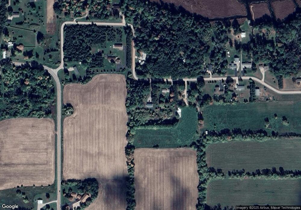
Map
Nearby Homes
- E5698 Waukaunaka St
- E5629 Waukaunaka St
- 0 Guth Rd Unit 50315739
- 201 2nd Ave
- 1019 Mill Pond Cir
- 1003 Mill Pond Cir
- 1010A/B Mill Pond Cir
- 1028 Mill Pond Cir
- 1022 Mill Pond Cir
- 1005 Mill Pond Cir
- 1009 Mill Pond Cir
- 0 M Behm Ave
- 0 Ave
- 217 E Main St
- 103 W Main St
- 110 W Sumner St
- 514 E Main St
- 205 W Main St
- 111 W Parker St
- 711 S Mary St
- E5897 S Shore Dr
- E5890 S Shore Dr
- E5864 S Shore Dr
- E5913 S Shore Dr
- E5908 S Shore Dr
- E5873 S Shore Dr
- E5920 S Shore Dr
- E5919 S Shore Dr
- E5924 S Shore Dr
- E5803 S Shore Dr
- E5850 S Shore Dr
- N3148 State Road 110
- E5852 E5852 S Shore Dr
- E5852 S Shore Dr
- E5922 S Shore Dr
- 0 S Shore Dr Unit 50055200
- E5822 S Shore Dr
- E5950 S Shore Dr
- N3126 State Road 110
- N3126 Wisconsin 110