E5927 N Shore Rd Weyauwega, WI 54983
Estimated Value: $474,813 - $544,000
3
Beds
--
Bath
1,568
Sq Ft
$319/Sq Ft
Est. Value
About This Home
This home is located at E5927 N Shore Rd, Weyauwega, WI 54983 and is currently estimated at $500,938, approximately $319 per square foot. E5927 N Shore Rd is a home located in Waupaca County with nearby schools including Weyauwega Elementary School, Weyauwega Middle School, and Weyauwega High School.
Ownership History
Date
Name
Owned For
Owner Type
Purchase Details
Closed on
Jan 8, 2016
Sold by
Faulks Randall M
Bought by
R & S Whitelake Llc
Current Estimated Value
Purchase Details
Closed on
Mar 17, 2008
Sold by
Evans George A
Bought by
Faulks Randall M
Purchase Details
Closed on
Mar 7, 2008
Sold by
Brunner Donald G
Bought by
Faulks Randall M
Purchase Details
Closed on
Jul 7, 2007
Sold by
Brunner Donald G
Bought by
Brunner Donald G
Create a Home Valuation Report for This Property
The Home Valuation Report is an in-depth analysis detailing your home's value as well as a comparison with similar homes in the area
Home Values in the Area
Average Home Value in this Area
Purchase History
| Date | Buyer | Sale Price | Title Company |
|---|---|---|---|
| R & S Whitelake Llc | -- | None Available | |
| Faulks Randall M | $280,000 | None Available | |
| Faulks Randall M | $280,000 | -- | |
| Brunner Donald G | $324,000 | -- |
Source: Public Records
Tax History Compared to Growth
Tax History
| Year | Tax Paid | Tax Assessment Tax Assessment Total Assessment is a certain percentage of the fair market value that is determined by local assessors to be the total taxable value of land and additions on the property. | Land | Improvement |
|---|---|---|---|---|
| 2024 | $6,455 | $395,900 | $97,400 | $298,500 |
| 2023 | $6,455 | $289,800 | $84,000 | $205,800 |
| 2022 | $6,000 | $289,800 | $84,000 | $205,800 |
| 2021 | $5,824 | $289,800 | $84,000 | $205,800 |
| 2020 | $5,632 | $289,800 | $84,000 | $205,800 |
| 2019 | $5,414 | $289,800 | $84,000 | $205,800 |
| 2018 | $5,832 | $289,800 | $84,000 | $205,800 |
| 2017 | $4,492 | $289,800 | $84,000 | $205,800 |
| 2016 | $4,492 | $289,800 | $84,000 | $205,800 |
| 2015 | $4,474 | $289,800 | $84,000 | $205,800 |
| 2014 | $4,550 | $289,800 | $84,000 | $205,800 |
| 2013 | $4,821 | $289,800 | $84,000 | $205,800 |
Source: Public Records
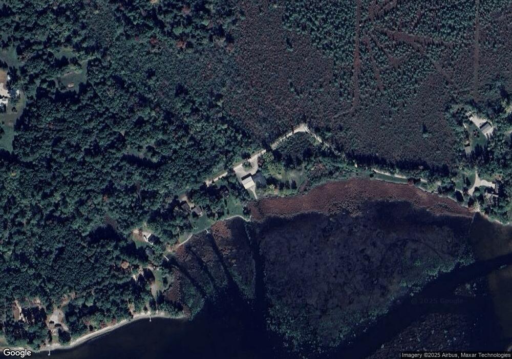
Map
Nearby Homes
- E5698 Waukaunaka St
- E5629 Waukaunaka St
- 0 Guth Rd Unit 50315739
- N4804 State Road 22 110
- 1019 Mill Pond Cir
- 1003 Mill Pond Cir
- 1010A/B Mill Pond Cir
- 1028 Mill Pond Cir
- 1022 Mill Pond Cir
- 1005 Mill Pond Cir
- 1009 Mill Pond Cir
- 0 M Behm Ave
- 0 Ave
- 201 2nd Ave
- N4816 Jakes Rd
- 103 W Main St
- 217 E Main St
- 0 State Highway 22 54
- 110 W Sumner St
- 514 E Main St
- E5923 N Shore Rd
- E5915 N Shore Rd
- E5903 N Shore Rd
- E5897 N Shore Rd
- e 5897 N Shore Rd
- E5883 N Shore Rd
- E5861 N Shore Rd
- E5839 N Shore Rd
- E5931 N Shore Rd
- E5829 N Shore Rd
- E5704 N Shore Rd
- E5823 N Shore Rd
- E5817 N Shore Rd
- E5809 N Shore Rd
- N5903 N Shore Rd
- E5693 N Shore Rd
- E5687 N Shore Rd
- E5675 N Shore Rd
- N3325 N3325 White Lake St
- E5671 N Shore Rd