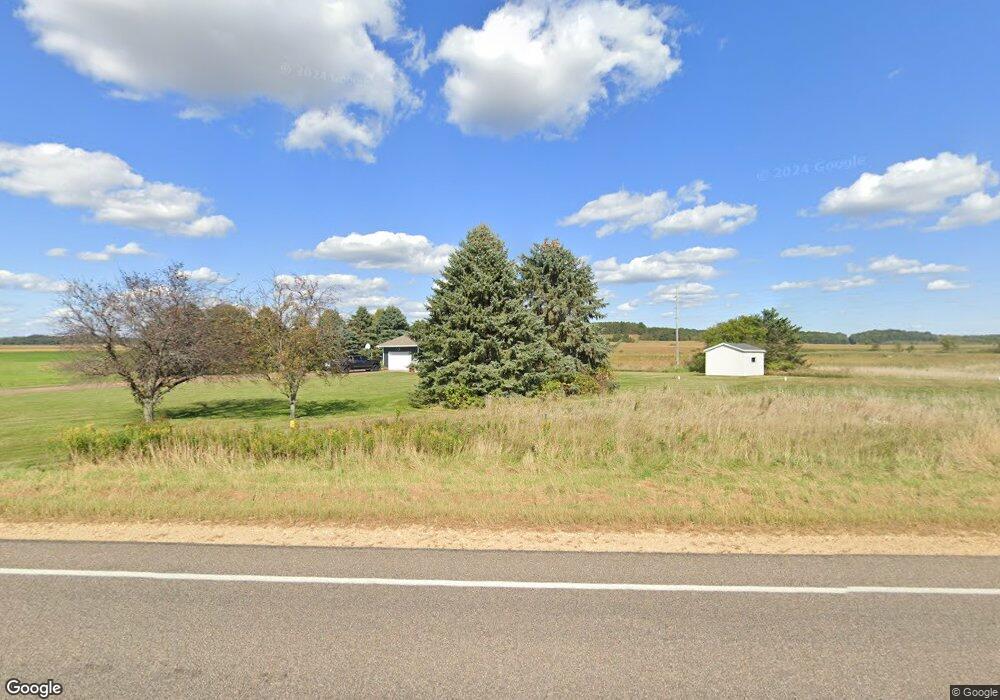
E6879 S County Road E Menomonie, WI 54751
Estimated Value: $257,000 - $402,000
Studio
--
Bath
--
Sq Ft
2.71
Acres
About This Home
This home is located at E6879 S County Road E, Menomonie, WI 54751 and is currently estimated at $344,996. E6879 S County Road E is a home located in Dunn County with nearby schools including Oaklawn Elementary School, Menomonie Middle School, and Menomonie High School.
Ownership History
Date
Name
Owned For
Owner Type
Purchase Details
Closed on
Aug 1, 2018
Sold by
Thomas Millar and Thomas Paula
Bought by
Knudson Cole M
Current Estimated Value
Home Financials for this Owner
Home Financials are based on the most recent Mortgage that was taken out on this home.
Original Mortgage
$168,000
Outstanding Balance
$145,901
Interest Rate
4.5%
Mortgage Type
New Conventional
Estimated Equity
$199,095
Create a Home Valuation Report for This Property
The Home Valuation Report is an in-depth analysis detailing your home's value as well as a comparison with similar homes in the area
Home Values in the Area
Average Home Value in this Area
Purchase History
| Date | Buyer | Sale Price | Title Company |
|---|---|---|---|
| Knudson Cole M | $210,000 | Attorney Only |
Source: Public Records
Mortgage History
| Date | Status | Borrower | Loan Amount |
|---|---|---|---|
| Open | Knudson Cole M | $168,000 |
Source: Public Records
Tax History
| Year | Tax Paid | Tax Assessment Tax Assessment Total Assessment is a certain percentage of the fair market value that is determined by local assessors to be the total taxable value of land and additions on the property. | Land | Improvement |
|---|---|---|---|---|
| 2024 | $3,896 | $366,900 | $35,100 | $331,800 |
| 2023 | $3,934 | $366,900 | $35,100 | $331,800 |
| 2022 | $3,705 | $204,800 | $18,400 | $186,400 |
| 2021 | $3,875 | $204,800 | $18,400 | $186,400 |
| 2020 | $3,953 | $204,800 | $18,400 | $186,400 |
| 2019 | $3,848 | $204,800 | $18,400 | $186,400 |
| 2018 | $3,642 | $204,800 | $18,400 | $186,400 |
| 2017 | $3,696 | $204,800 | $18,400 | $186,400 |
| 2016 | $3,834 | $204,800 | $18,400 | $186,400 |
| 2015 | $3,719 | $204,800 | $18,400 | $186,400 |
Source: Public Records
Map
Nearby Homes
- 4762 600th St
- N4447 610th St
- E6004 510th Ave
- 3868 Nicholas Dr
- 3634 Nicholas Dr
- 3992 Nicholas Dr
- 5800 E Us Highway 12 Road 29
- N4292 County Road Y
- 1805 11th Ave E Unit Lot 19
- 1765 11th Ave E Unit Lot 17
- 1905 Dairyland Rd
- 5684 U S 12
- N5314 765th St
- 2718 Cherry Blossom Ln
- 1314 16th Ave E
- 9 18th St
- 2915 Plum Tree Cir N
- E2519 Highway 29
- 1108 18th St Unit Lot 8
- 208 14th St SE
- E6809 S County Road E
- E6809 S County Road E
- E6809 S County Road E
- N4697 649th St
- N4693 649th St
- N4689 649th St
- E6300 490th Ave
- E6298 490th Ave
- N4774 610th St
- E6301 490th Ave
- 6532 490th Ave
- E6297 490th Ave
- E6477 490th Ave
- E6421 490th Ave
- N4772 610th St
- TBD 490th Ave
- N4921 650th St
- E6208 490th Ave
- N4770 610th St
- E6157 490th Ave