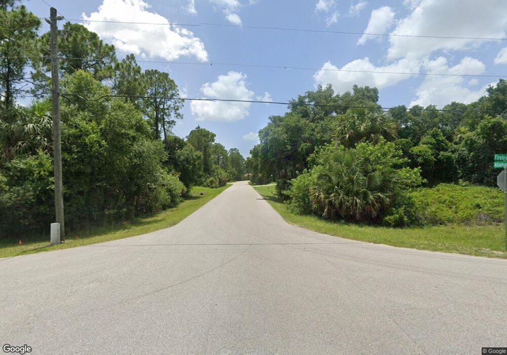
Firebrand Rd North Port, FL 34288
Estimated Value: $206,000 - $354,000
--
Bed
--
Bath
--
Sq Ft
4.88
Acres
About This Home
This home is located at Firebrand Rd, North Port, FL 34288 and is currently estimated at $280,000. Firebrand Rd is a home located in Sarasota County with nearby schools including Atwater Elementary School, North Port High School, and Woodland Middle School.
Ownership History
Date
Name
Owned For
Owner Type
Purchase Details
Closed on
Nov 1, 2024
Sold by
Charlotte Sarasota Holdings Llp
Bought by
Charlotte Sarasota Holdings Llp
Current Estimated Value
Purchase Details
Closed on
Aug 26, 2022
Sold by
Jambo Real Estate Llc
Bought by
Charlotte Sarasota Holdings Llp
Purchase Details
Closed on
Apr 7, 2021
Sold by
Charlotte Sarasota Holdings Llp
Bought by
Jambo Real Estate Llc
Create a Home Valuation Report for This Property
The Home Valuation Report is an in-depth analysis detailing your home's value as well as a comparison with similar homes in the area
Home Values in the Area
Average Home Value in this Area
Purchase History
| Date | Buyer | Sale Price | Title Company |
|---|---|---|---|
| Charlotte Sarasota Holdings Llp | $100 | None Listed On Document | |
| Charlotte Sarasota Holdings Llp | $100 | None Listed On Document | |
| Charlotte Sarasota Holdings Llp | $861,500 | None Listed On Document | |
| Jambo Real Estate Llc | -- | Accommodation |
Source: Public Records
Tax History Compared to Growth
Tax History
| Year | Tax Paid | Tax Assessment Tax Assessment Total Assessment is a certain percentage of the fair market value that is determined by local assessors to be the total taxable value of land and additions on the property. | Land | Improvement |
|---|---|---|---|---|
| 2024 | $2,474 | $109,700 | $109,700 | -- |
| 2023 | $2,474 | $101,800 | $101,800 | $0 |
| 2022 | $2,313 | $107,200 | $107,200 | $0 |
| 2021 | $1,391 | $42,600 | $42,600 | $0 |
| 2020 | $1,393 | $42,600 | $42,600 | $0 |
| 2019 | $1,338 | $39,600 | $39,600 | $0 |
| 2018 | $1,182 | $38,700 | $38,700 | $0 |
| 2017 | $1,111 | $32,100 | $32,100 | $0 |
| 2016 | $1,045 | $29,600 | $29,600 | $0 |
| 2015 | $1,093 | $34,900 | $34,900 | $0 |
| 2014 | $980 | $32,100 | $0 | $0 |
Source: Public Records
Map
Nearby Homes
- 2350 Firebrand Rd
- 2363 Blueberry Rd
- 2264 Ananas Rd
- 2518 Hemet St
- Lot 32 Ananas Rd
- 5540 Allamanda Ave
- LOT 3 Bonnet Ave
- 2588 Hemet St
- 2121 Firebrand Rd
- Lot 10 Minerva Rd
- 0 Dunsmuir Rd Unit MFRNS1084529
- 0 Dunsmuir Rd Unit MFRA4663544
- 0 Mikado Rd Unit MFRC7491211
- 0 Mikado Rd Unit MFRC7513301
- 0 Blueberry Rd Unit MFRNS1085904
- 0 Blueberry Rd Unit MFROM702283
- Lot 44 Jericho Ave
- 2576 Wilburn Terrace
- 2261 Barrister St
- 2325 Hanford Ln
- Firebrand Rd
- Firebrand Rd
- Firebrand Rd
- 2436 Firebrand Rd
- LOT 6 Mars Ave
- 0 Mars Ave
- 0 Firebrand Rd Unit MFRA4629009
- 1134-10-3508 Firebrand Rd
- 0 Firebrand Rd Unit C7452989
- 0 Firebrand Rd Unit A4515866
- 0 Firebrand Rd Unit A4515864
- 0 Firebrand Rd Unit A4515807
- 0 Firebrand Rd Unit A4512251
- 0 Firebrand Rd Unit A4506896
- 0 Firebrand Rd
- Lot 40 Firebrand Rd
- 0 Allamanda Ave
- 5252 Allamanda Ave
- 5378 Allamanda Ave
- 2341 Firebrand Rd