Estimated Value: $262,017 - $329,000
6
Beds
2
Baths
3,590
Sq Ft
$86/Sq Ft
Est. Value
About This Home
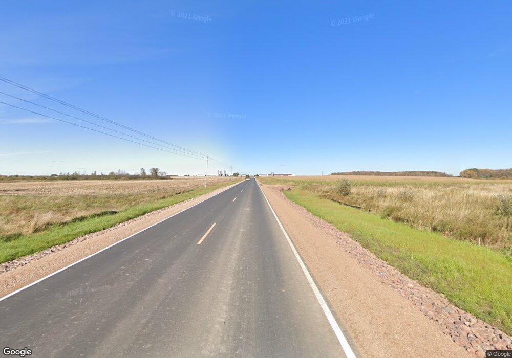
This home is located at H4098 Maple Rd, Colby, WI 54421 and is currently estimated at $308,754, approximately $86 per square foot. H4098 Maple Rd is a home located in Marathon County with nearby schools including Colby Elementary School, Colby Middle School, and Colby High School.
Ownership History
Date
Name
Owned For
Owner Type
Purchase Details
Closed on
Apr 19, 2023
Sold by
Clifton Aaron B
Bought by
Clifton Kimberly A
Current Estimated Value
Purchase Details
Closed on
Jul 14, 2021
Sold by
Brusky Aloys and Brusky Janice
Bought by
Clifton Aaron Bradley and Clifton Kimberly Ann
Home Financials for this Owner
Home Financials are based on the most recent Mortgage that was taken out on this home.
Original Mortgage
$127,645
Interest Rate
2.9%
Mortgage Type
FHA
Purchase Details
Closed on
Apr 21, 2016
Sold by
Kroening Eugene D and Kroening Rosemary
Bought by
Brusky Aloys and Brusky Janice
Home Financials for this Owner
Home Financials are based on the most recent Mortgage that was taken out on this home.
Original Mortgage
$86,250
Interest Rate
3.68%
Mortgage Type
New Conventional
Create a Home Valuation Report for This Property
The Home Valuation Report is an in-depth analysis detailing your home's value as well as a comparison with similar homes in the area
Purchase History
| Date | Buyer | Sale Price | Title Company |
|---|---|---|---|
| Clifton Kimberly A | $127,100 | Robert Anderson | |
| Clifton Aaron Bradley | $130,000 | Abstracts & Titles | |
| Brusky Aloys | $115,000 | Midwest Title Group Llc |
Source: Public Records
Mortgage History
| Date | Status | Borrower | Loan Amount |
|---|---|---|---|
| Previous Owner | Clifton Aaron Bradley | $127,645 | |
| Previous Owner | Brusky Aloys | $86,250 |
Source: Public Records
Tax History
| Year | Tax Paid | Tax Assessment Tax Assessment Total Assessment is a certain percentage of the fair market value that is determined by local assessors to be the total taxable value of land and additions on the property. | Land | Improvement |
|---|---|---|---|---|
| 2025 | $2,232 | $165,800 | $13,400 | $152,400 |
| 2024 | $2,043 | $162,900 | $13,400 | $149,500 |
| 2023 | $2,024 | $162,900 | $13,400 | $149,500 |
| 2022 | $1,941 | $127,100 | $9,000 | $118,100 |
| 2021 | $2,197 | $127,100 | $9,000 | $118,100 |
| 2020 | $2,224 | $127,100 | $9,000 | $118,100 |
| 2019 | $2,163 | $127,100 | $9,000 | $118,100 |
| 2018 | $2,070 | $127,100 | $9,000 | $118,100 |
| 2017 | $1,979 | $127,100 | $9,000 | $118,100 |
| 2016 | $2,089 | $127,100 | $9,000 | $118,100 |
| 2015 | $1,991 | $127,100 | $9,000 | $118,100 |
| 2014 | $2,049 | $127,100 | $9,000 | $118,100 |
Source: Public Records
Map
Nearby Homes
- 0000 S Division St
- 204 S 4th St
- 303 E Adams St
- 602 N 4th St
- 609 N 2nd St
- 310 W Clark St
- 151 S Madison St
- +/-2.07 Acres Elderberry Rd
- 411 S Main St
- 228749 Chestnut Hill Ln
- 203 E Linden St
- 111 N 5th St
- 112 N 2nd St
- 301 W Butternut St
- 312 N 3rd St
- 312 Other
- 407 W Butternut St
- 211 N 5th Ave
- 220 W Pine St
- 108094 Wisconsin 29
- 222470 Silver Maple Ln
- H3154 Blueberry Rd
- H3164 Blueberry Rd
- 221944 Silver Maple Ln
- 102468 Mulberry Rd
- 221871 Silver Maple Ln
- H4019 Maple Rd
- H4019 Maple Rd
- H3321 Blueberry Rd
- H3322 Blueberry Rd
- 221687 Silver Maple Ln
- H4125 Maple Rd
- H4181 Maple Rd
- H4216 Maple Rd
- 102020 Mulberry Rd
- 101509 Mulberry Rd
- 000 Maple Rd
Your Personal Tour Guide
Ask me questions while you tour the home.
