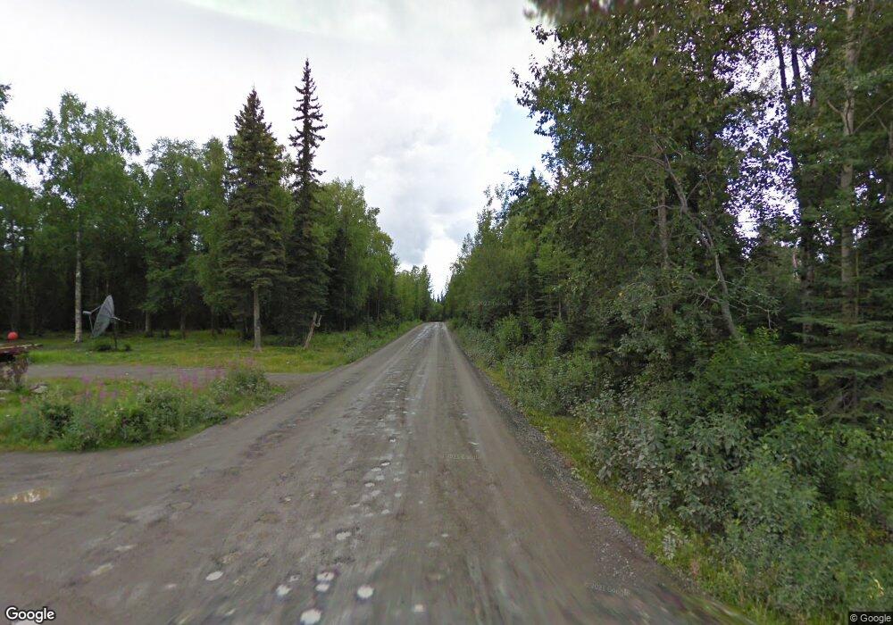
L11 B3 Gene St Sterling, AK
Estimated Value: $141,000 - $488,000
3
Beds
1
Bath
1,400
Sq Ft
$248/Sq Ft
Est. Value
About This Home
This home is located at L11 B3 Gene St, Sterling, AK and is currently estimated at $346,741, approximately $247 per square foot. L11 B3 Gene St is a home located in Kenai Peninsula Borough with nearby schools including Sterling Elementary School, Skyview Middle School, and Soldotna High School.
Ownership History
Date
Name
Owned For
Owner Type
Purchase Details
Closed on
Oct 7, 2022
Sold by
Harmon Wayne
Bought by
Harmon Wayne
Current Estimated Value
Purchase Details
Closed on
Oct 2, 2019
Sold by
Culver Phillip F and The Phillip F Culver Trust
Bought by
Harmon Wayne
Home Financials for this Owner
Home Financials are based on the most recent Mortgage that was taken out on this home.
Original Mortgage
$208,250
Interest Rate
3.5%
Mortgage Type
New Conventional
Purchase Details
Closed on
Aug 20, 2009
Sold by
Culver Phillip F
Bought by
The Phillip F Culver Trust
Create a Home Valuation Report for This Property
The Home Valuation Report is an in-depth analysis detailing your home's value as well as a comparison with similar homes in the area
Home Values in the Area
Average Home Value in this Area
Purchase History
| Date | Buyer | Sale Price | Title Company |
|---|---|---|---|
| Harmon Wayne | -- | -- | |
| Harmon Wayne | -- | None Available | |
| The Phillip F Culver Trust | -- | None Available |
Source: Public Records
Mortgage History
| Date | Status | Borrower | Loan Amount |
|---|---|---|---|
| Previous Owner | Harmon Wayne | $208,250 |
Source: Public Records
Tax History Compared to Growth
Tax History
| Year | Tax Paid | Tax Assessment Tax Assessment Total Assessment is a certain percentage of the fair market value that is determined by local assessors to be the total taxable value of land and additions on the property. | Land | Improvement |
|---|---|---|---|---|
| 2025 | -- | $346,400 | $119,000 | $227,400 |
| 2024 | $2,771 | $320,700 | $110,000 | $210,700 |
| 2023 | $2,771 | $310,600 | $91,900 | $218,700 |
| 2022 | $2,465 | $281,400 | $83,600 | $197,800 |
| 2021 | $2,370 | $267,500 | $72,400 | $195,100 |
| 2020 | $2,417 | $269,700 | $72,400 | $197,300 |
| 2019 | $2,736 | $355,400 | $183,200 | $172,200 |
| 2018 | $2,370 | $314,500 | $131,900 | $182,600 |
| 2017 | $2,538 | $348,200 | $131,900 | $216,300 |
| 2016 | $2,203 | $305,300 | $131,900 | $173,400 |
| 2015 | $2,593 | $295,800 | $131,900 | $163,900 |
| 2014 | $2,593 | $284,500 | $131,900 | $152,600 |
Source: Public Records
Map
Nearby Homes
- 37325 Funny Moose Ln
- 36916 York Dr
- 34775 Sterling Hwy
- 000 Barbara
- L3 B5 Rousing Rd
- 35061 Adell Ave
- 37020 Scout Lake Loop Rd
- 35006 Denny Ln
- 000 No Real Property
- L12 Lambeau Ct
- L1 Lambeau Ct
- L5 Lambeau Ct
- Lot 10 Lambeau Ct
- Lot 11 Lambeau Ct
- Lot 13 Lambeau Ct
- L15 Moosetadon Dr
- 36925 River Bend Dr
- 38367 Stans St
- Lot 2 Lambeau Ct
- Lot 9 Lambeau Ct
- 37796 Arabian Ct
- 37670 Arabian Ln
- 37796 Arabian Ln
- 37814 Arabian Ln
- 37650 Arabian Ln
- 34189 Gene Autry Ave
- 34189 Arabian Ln
- 34280 Arabian Ln
- 34380 Arabian Ln
- 34230 Arabian Ln
- 37639 Arabian Ln
- 37580 Arabian Ln
- 34135 Silver Salmon Dr
- 34105 Silver Salmon Dr
- L6 B3 Silver Salmon Dr
- 34101 Silver Salmon Dr
- L3 B1 Loomis St
- 37200 Thomas St
- 34615 Scout Lake Loop
- L14 Arabian Ln
