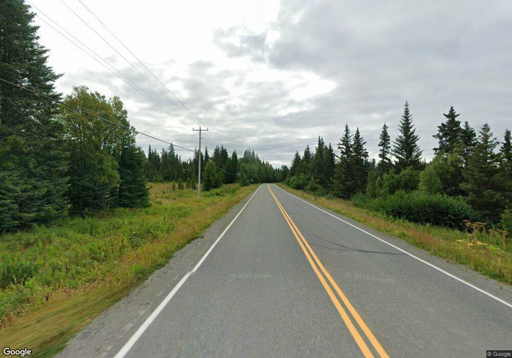
L13 Old Sterling Hwy Anchor Point, AK 99556
Estimated Value: $99,000 - $433,292
3
Beds
1
Bath
2,200
Sq Ft
$141/Sq Ft
Est. Value
About This Home
This home is located at L13 Old Sterling Hwy, Anchor Point, AK 99556 and is currently estimated at $311,097, approximately $141 per square foot. L13 Old Sterling Hwy is a home located in Kenai Peninsula Borough with nearby schools including Chapman School and Homer High School.
Ownership History
Date
Name
Owned For
Owner Type
Purchase Details
Closed on
May 21, 2002
Sold by
Darling Stephen R and Darling Elizabeth M
Bought by
Johnson Jim and Velles Sheila
Current Estimated Value
Home Financials for this Owner
Home Financials are based on the most recent Mortgage that was taken out on this home.
Original Mortgage
$102,600
Outstanding Balance
$43,355
Interest Rate
6.94%
Estimated Equity
$267,742
Create a Home Valuation Report for This Property
The Home Valuation Report is an in-depth analysis detailing your home's value as well as a comparison with similar homes in the area
Home Values in the Area
Average Home Value in this Area
Purchase History
| Date | Buyer | Sale Price | Title Company |
|---|---|---|---|
| Johnson Jim | -- | -- |
Source: Public Records
Mortgage History
| Date | Status | Borrower | Loan Amount |
|---|---|---|---|
| Open | Johnson Jim | $102,600 |
Source: Public Records
Tax History Compared to Growth
Tax History
| Year | Tax Paid | Tax Assessment Tax Assessment Total Assessment is a certain percentage of the fair market value that is determined by local assessors to be the total taxable value of land and additions on the property. | Land | Improvement |
|---|---|---|---|---|
| 2025 | $2,402 | $330,300 | $32,400 | $297,900 |
| 2024 | $2,402 | $283,000 | $32,400 | $250,600 |
| 2023 | $2,071 | $242,300 | $27,000 | $215,300 |
| 2022 | $1,720 | $205,100 | $17,500 | $187,600 |
| 2021 | $1,688 | $200,300 | $16,900 | $183,400 |
| 2020 | $1,937 | $223,100 | $16,900 | $206,200 |
| 2019 | $884 | $208,500 | $11,000 | $197,500 |
| 2018 | $1,688 | $201,400 | $11,000 | $190,400 |
| 2017 | $1,247 | $163,900 | $11,000 | $152,900 |
| 2016 | $1,387 | $176,700 | $11,000 | $165,700 |
| 2015 | $1,191 | $191,900 | $11,000 | $180,900 |
| 2014 | $1,191 | $158,400 | $11,000 | $147,400 |
Source: Public Records
Map
Nearby Homes
- 41330 Old Sterling Hwy
- 41350 Old Sterling Hwy
- 69288 Melody Way
- 69783 Tipton Ave
- 14 Lots Hard Rock St
- 39047 Sayer Rd
- 68062 Jolly Ave
- 68021 Jolly Ave
- 36095 Flinstone St
- 27191 Sterling Hwy
- 35885 Sterling Hwy
- 26935 Sterling Hwy
- 26220 Sterling Hwy
- 33175 Sterling Hwy
- 33135 Sterling Hwy
- 36075 Flinstone St
- 39720 Sterling Hwy
- 40285 Sterling Hwy
- 66822 Kennedy Ave
- 40650 Belnap Dr
- 2 Lots Rosehip Dr
- L16 Rollins Way
- 69715 Rollins Way
- L14 Rollins Way
- L13 Old Sterling Hwy Unit 1
- Tr 1 Old Sterling Hwy
- Tr1 Appleberry
- 37955 Appleberry St
- 37988 Appleberry St
- 69588 Rollins Way
- L12 Rollins Way
- L20 Rollins Way
- 69675 Rollins Way
- L15 Rollins Way
- 40894 Old Sterling Hwy
- 40724 Old Sterling Hwy
- L11 Rollins Way
- 69655 Rollins Way
- L18 Rollins Way
- 0000 Rollins Way
