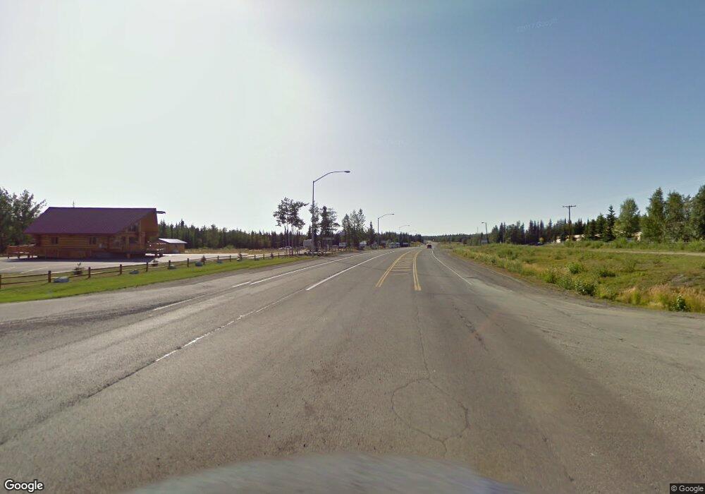
L25 B5 Big Rock Rd Sterling, AK
Estimated Value: $372,000 - $430,660
3
Beds
5
Baths
3,413
Sq Ft
$118/Sq Ft
Est. Value
About This Home
This home is located at L25 B5 Big Rock Rd, Sterling, AK and is currently estimated at $401,330, approximately $117 per square foot. L25 B5 Big Rock Rd is a home located in Kenai Peninsula Borough with nearby schools including Sterling Elementary School, Skyview Middle School, and Soldotna High School.
Ownership History
Date
Name
Owned For
Owner Type
Purchase Details
Closed on
Aug 14, 2018
Sold by
Harrison Randall Michael and Su Du
Bought by
Du Su
Current Estimated Value
Purchase Details
Closed on
Aug 13, 2013
Sold by
Randall Michael Harrison
Bought by
Randall Michael Harrison and Du Su
Purchase Details
Closed on
Jul 11, 2013
Sold by
Federal National Mortgage Association
Bought by
Randall Michael Harrison
Purchase Details
Closed on
Jul 19, 2011
Sold by
Wells Fargo Bank N A
Bought by
Fannie Mae and Federal National Mortgage Association
Purchase Details
Closed on
Dec 3, 2008
Sold by
Archer Patsy E
Bought by
Archer Ted J
Home Financials for this Owner
Home Financials are based on the most recent Mortgage that was taken out on this home.
Original Mortgage
$502,500
Interest Rate
2.68%
Mortgage Type
Reverse Mortgage Home Equity Conversion Mortgage
Create a Home Valuation Report for This Property
The Home Valuation Report is an in-depth analysis detailing your home's value as well as a comparison with similar homes in the area
Home Values in the Area
Average Home Value in this Area
Purchase History
| Date | Buyer | Sale Price | Title Company |
|---|---|---|---|
| Du Su | -- | None Available | |
| Randall Michael Harrison | -- | None Available | |
| Randall Michael Harrison | -- | Fidelity Title Agency Alaska | |
| Fannie Mae | -- | None Available | |
| Wells Fargo Bank N A | $234,329 | None Available | |
| Archer Ted J | -- | None Available |
Source: Public Records
Mortgage History
| Date | Status | Borrower | Loan Amount |
|---|---|---|---|
| Previous Owner | Archer Ted J | $502,500 |
Source: Public Records
Tax History Compared to Growth
Tax History
| Year | Tax Paid | Tax Assessment Tax Assessment Total Assessment is a certain percentage of the fair market value that is determined by local assessors to be the total taxable value of land and additions on the property. | Land | Improvement |
|---|---|---|---|---|
| 2025 | $3,016 | $354,100 | $50,900 | $303,200 |
| 2024 | $3,016 | $338,100 | $50,900 | $287,200 |
| 2023 | $2,747 | $308,000 | $42,200 | $265,800 |
| 2022 | $2,490 | $284,300 | $38,500 | $245,800 |
| 2021 | $2,434 | $285,300 | $46,400 | $238,900 |
| 2020 | $2,641 | $294,800 | $46,400 | $248,400 |
| 2019 | $2,557 | $285,400 | $43,800 | $241,600 |
| 2018 | $2,434 | $271,700 | $43,800 | $227,900 |
| 2017 | $2,231 | $262,200 | $44,000 | $218,200 |
| 2016 | $2,063 | $239,100 | $34,400 | $204,700 |
| 2015 | $2,796 | $213,400 | $26,000 | $187,400 |
| 2014 | $2,796 | $212,600 | $26,000 | $186,600 |
Source: Public Records
Map
Nearby Homes
- 32280 Moonshine Dr
- Lot 1 Bent Rod Ct
- Lot 5 Bent Rod Ct
- Lot 3 Bent Rod Ct
- 32395 Ruth Ln
- L13 B3 Sirius St
- L13 New Don St
- 36675 Guth Cir
- 38367 Stans St
- L1A & L3A Patty Ave
- L9 Patty Ave
- L1-2 B4 Trapline Ln
- 000 Lake Rd
- 38951 Otter Trail Rd
- 32288 E Lakefront Dr
- 36916 York Dr
- L3 B5 Rousing Rd
- 36089 Feuding Ln
- 37325 Funny Moose Ln
- 36880 Scotsman Ct
- 37263 Samsel Rd
- 32123 W Hills Ct
- 37272 Samsel Rd
- 32167 W Hills Ct
- 37254 Samsel Rd
- L9 B3 Big Rock Rd
- L10 B3 Big Rock Rd
- 37212 Samsel Rd
- L4 B3 Samsel Rd
- 32177 W Hills Ct
- 32142 W Hills Ct
- L6 B3 Bings Landing
- 32170 W Hills Ct
- 32090 Rapids Ave
- 37060 Steelhead Cir
- L6 B5 Bings Landing Rd
- L23 B5 Bings Landing Rd
- 37468 Samsel Rd
- 32199 Lynx Ct
- L3 B3 Big Rock Rd
