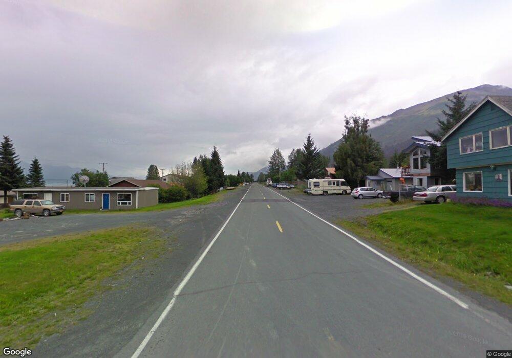
L37A B32 6th & Monroe Seward, AK
Estimated Value: $345,000 - $382,787
3
Beds
2
Baths
1,272
Sq Ft
$286/Sq Ft
Est. Value
About This Home
This home is located at L37A B32 6th & Monroe, Seward, AK and is currently estimated at $363,894, approximately $286 per square foot. L37A B32 6th & Monroe is a home located in Kenai Peninsula Borough with nearby schools including William H. Seward Elementary School and Seward High School.
Ownership History
Date
Name
Owned For
Owner Type
Purchase Details
Closed on
Aug 11, 2005
Sold by
Marlow Kenneth L and Marlow Judith L
Bought by
Pichotta Tim P and Pichotta Paul
Current Estimated Value
Home Financials for this Owner
Home Financials are based on the most recent Mortgage that was taken out on this home.
Original Mortgage
$128,981
Outstanding Balance
$66,970
Interest Rate
5.48%
Mortgage Type
FHA
Estimated Equity
$296,924
Purchase Details
Closed on
Jul 3, 2002
Sold by
Wassmann Wendell and Johnson Jeannie
Bought by
Marlow Kenneth L and Marlow Judith L
Home Financials for this Owner
Home Financials are based on the most recent Mortgage that was taken out on this home.
Original Mortgage
$87,300
Interest Rate
6.71%
Create a Home Valuation Report for This Property
The Home Valuation Report is an in-depth analysis detailing your home's value as well as a comparison with similar homes in the area
Home Values in the Area
Average Home Value in this Area
Purchase History
| Date | Buyer | Sale Price | Title Company |
|---|---|---|---|
| Pichotta Tim P | -- | First American Title Ins Co | |
| Marlow Kenneth L | -- | First American Title | |
| Marlow Kenneth L | -- | First American Title |
Source: Public Records
Mortgage History
| Date | Status | Borrower | Loan Amount |
|---|---|---|---|
| Open | Pichotta Tim P | $128,981 | |
| Previous Owner | Marlow Kenneth L | $87,300 |
Source: Public Records
Tax History Compared to Growth
Tax History
| Year | Tax Paid | Tax Assessment Tax Assessment Total Assessment is a certain percentage of the fair market value that is determined by local assessors to be the total taxable value of land and additions on the property. | Land | Improvement |
|---|---|---|---|---|
| 2025 | $1,931 | $213,600 | $89,800 | $123,800 |
| 2024 | $966 | $211,300 | $85,300 | $126,000 |
| 2023 | $1,751 | $191,600 | $60,900 | $130,700 |
| 2022 | $1,558 | $171,400 | $58,000 | $113,400 |
| 2021 | $1,439 | $164,400 | $68,900 | $95,500 |
| 2020 | $1,465 | $157,700 | $68,900 | $88,800 |
| 2019 | $727 | $156,600 | $63,400 | $93,200 |
| 2018 | $1,439 | $154,900 | $55,100 | $99,800 |
| 2017 | $1,231 | $147,100 | $55,100 | $92,000 |
| 2016 | $1,106 | $132,100 | $55,100 | $77,000 |
| 2015 | $978 | $119,500 | $55,100 | $64,400 |
| 2014 | $978 | $113,500 | $55,100 | $58,400 |
Source: Public Records
Map
Nearby Homes
- 711 4th Ave
- 425 Fourth Ave
- 514 First Ave
- 31940 Maxwell Ct
- 31885 Maxwell Ct
- 31825 Maxwell Ct
- 31855 Maxwell Ct
- 31805 Maxwell Ct
- 607 First Ave
- 213 3rd Ave
- 134 Fourth Ave
- 210 Brownell St
- 0-B Seward St
- 110 Aialik St
- 1701 Phoenix Rd
- 1620 Phoenix Rd
- 1807 Swetmann Ave Unit 7
- 211 Benson Dr
- 104 Benson Dr
- 1902 Dora Way