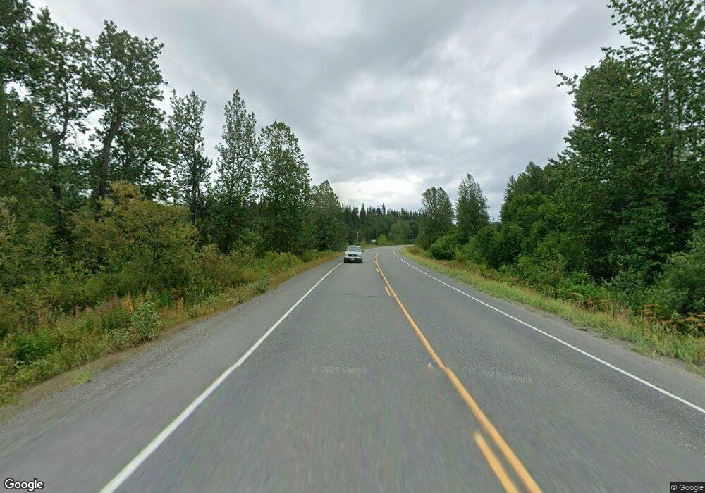
L7 Sterling Hwy Anchor Point, AK 99556
Estimated Value: $85,000 - $496,093
4
Beds
2
Baths
1,882
Sq Ft
$154/Sq Ft
Est. Value
About This Home
This home is located at L7 Sterling Hwy, Anchor Point, AK 99556 and is currently estimated at $290,547, approximately $154 per square foot. L7 Sterling Hwy is a home located in Kenai Peninsula Borough with nearby schools including Ninilchik School.
Ownership History
Date
Name
Owned For
Owner Type
Purchase Details
Closed on
May 30, 2025
Sold by
Daniel W Estes Revocable Trust and Estes Chad
Bought by
Bagi Scottie A
Current Estimated Value
Home Financials for this Owner
Home Financials are based on the most recent Mortgage that was taken out on this home.
Original Mortgage
$434,700
Outstanding Balance
$433,515
Interest Rate
6.5%
Mortgage Type
New Conventional
Estimated Equity
-$142,968
Purchase Details
Closed on
Oct 28, 2010
Sold by
Estes Dan
Bought by
Estes Daniel W
Purchase Details
Closed on
Jan 9, 2008
Sold by
Donald Geisen Trust
Bought by
Hart E Co
Create a Home Valuation Report for This Property
The Home Valuation Report is an in-depth analysis detailing your home's value as well as a comparison with similar homes in the area
Home Values in the Area
Average Home Value in this Area
Purchase History
| Date | Buyer | Sale Price | Title Company |
|---|---|---|---|
| Bagi Scottie A | -- | First American Title Insurance | |
| Estes Daniel W | -- | None Available | |
| Hart E Co | -- | First American Title Ins Co |
Source: Public Records
Mortgage History
| Date | Status | Borrower | Loan Amount |
|---|---|---|---|
| Open | Bagi Scottie A | $434,700 |
Source: Public Records
Tax History Compared to Growth
Tax History
| Year | Tax Paid | Tax Assessment Tax Assessment Total Assessment is a certain percentage of the fair market value that is determined by local assessors to be the total taxable value of land and additions on the property. | Land | Improvement |
|---|---|---|---|---|
| 2025 | $1,331 | $549,700 | $88,700 | $461,000 |
| 2024 | $666 | $479,100 | $88,700 | $390,400 |
| 2023 | $702 | $415,200 | $73,900 | $341,300 |
| 2022 | $78 | $357,000 | $56,800 | $300,200 |
| 2021 | $0 | $350,100 | $54,900 | $295,200 |
| 2020 | $361 | $382,300 | $54,900 | $327,400 |
| 2019 | $0 | $343,800 | $87,400 | $256,400 |
| 2018 | $0 | $299,700 | $87,400 | $212,300 |
| 2017 | -- | $297,200 | $87,400 | $209,800 |
| 2016 | -- | $285,200 | $87,400 | $197,800 |
| 2015 | $2,615 | $273,700 | $87,400 | $186,300 |
| 2014 | $2,615 | $291,800 | $87,400 | $204,400 |
Source: Public Records
Map
Nearby Homes
- 70820 Isabelle Rd
- 70859 Tall Tree Ave
- 000 Tall Tree Ave
- 69231 Tanners Trail Rd
- 27320 Cloyds Rd
- 25646 Hawks Beach Rem SW
- 70430 Tall Tree Ave
- L10 Rowen St
- 71265 Kallman Dr
- 67381 Stoddard Ave
- 27200 Birdwatch St
- 000 Wild Cotton Rd
- TR 7 Haath Acres
- 71185 Kutafya Rd
- 24340 Sterling Hwy
- 67280 Saint John Rd
- 68404 Leopold Ave
- 30076 Whiskey Gulch Beach Rem SW
- 24220 Sterling Hwy
- Tract 20 Zeke St
- L6 Sterling Hwy
- L8 Sterling Hwy
- 26983 Kazor Cir
- 27027 Kazor Cir
- 26982 Kazor Cir
- 27021 Kazor Cir
- L14 Sterling Hwy
- L11 Sterling Hwy
- 70765 Rozak Ave
- 27145 Elemar Cir
- L2 Sterling Hwy
- 70785 Rozak Ave
- L14 Rozak Ave
- 70786 Rozak Ave
- L2 Rozak Ave
- 70766 Rozak Ave
- 70811 Walt Ct
- L12 Sterling Hwy
- 70833 Walt Rd
- 70857 Walt Rd
