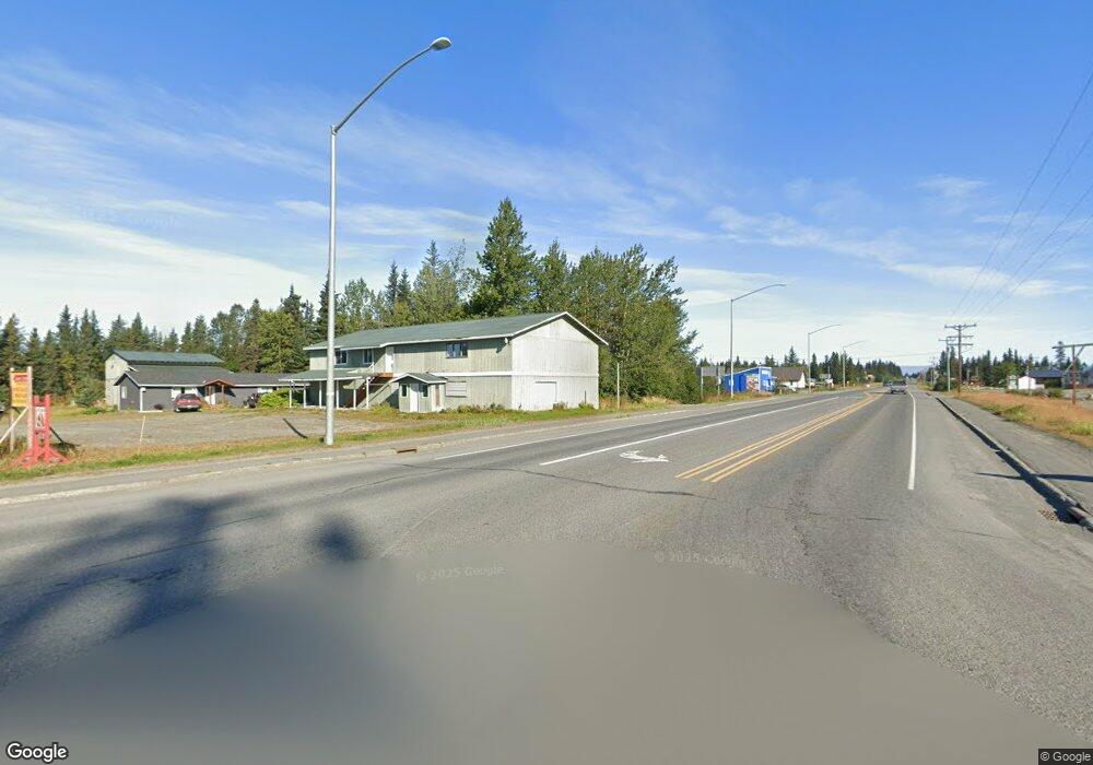
L8 B1 Anchor Point Ave Anchor Point, AK 99556
Estimated Value: $18,000 - $285,000
1
Bed
1
Bath
792
Sq Ft
$186/Sq Ft
Est. Value
About This Home
This home is located at L8 B1 Anchor Point Ave, Anchor Point, AK 99556 and is currently estimated at $147,112, approximately $185 per square foot. L8 B1 Anchor Point Ave is a home located in Kenai Peninsula Borough with nearby schools including Chapman School and Homer High School.
Ownership History
Date
Name
Owned For
Owner Type
Purchase Details
Closed on
Jan 23, 2007
Sold by
Hoch Shannon M
Bought by
Reynolds Ted
Current Estimated Value
Purchase Details
Closed on
Apr 4, 2005
Sold by
Hock Shannon M
Bought by
Tice Jacqueline A
Home Financials for this Owner
Home Financials are based on the most recent Mortgage that was taken out on this home.
Original Mortgage
$70,500
Interest Rate
5.6%
Mortgage Type
Seller Take Back
Purchase Details
Closed on
Nov 7, 2003
Sold by
Reynolds Ted
Bought by
Hock Shannon M
Home Financials for this Owner
Home Financials are based on the most recent Mortgage that was taken out on this home.
Original Mortgage
$62,000
Interest Rate
5.94%
Mortgage Type
Seller Take Back
Purchase Details
Closed on
Nov 13, 2002
Sold by
Kenai Peninsula Borough
Bought by
Reynolds Ted
Create a Home Valuation Report for This Property
The Home Valuation Report is an in-depth analysis detailing your home's value as well as a comparison with similar homes in the area
Home Values in the Area
Average Home Value in this Area
Purchase History
| Date | Buyer | Sale Price | Title Company |
|---|---|---|---|
| Reynolds Ted | $63,327 | None Available | |
| Tice Jacqueline A | -- | -- | |
| Hock Shannon M | -- | -- | |
| Reynolds Ted | -- | -- |
Source: Public Records
Mortgage History
| Date | Status | Borrower | Loan Amount |
|---|---|---|---|
| Previous Owner | Tice Jacqueline A | $70,500 | |
| Previous Owner | Hock Shannon M | $62,000 |
Source: Public Records
Tax History Compared to Growth
Tax History
| Year | Tax Paid | Tax Assessment Tax Assessment Total Assessment is a certain percentage of the fair market value that is determined by local assessors to be the total taxable value of land and additions on the property. | Land | Improvement |
|---|---|---|---|---|
| 2025 | $481 | $94,400 | $29,600 | $64,800 |
| 2024 | $481 | $96,700 | $29,600 | $67,100 |
| 2023 | $968 | $89,900 | $24,700 | $65,200 |
| 2022 | $766 | $69,100 | $17,600 | $51,500 |
| 2021 | $811 | $68,100 | $17,000 | $51,100 |
| 2020 | $810 | $72,400 | $17,000 | $55,400 |
| 2019 | $876 | $78,600 | $23,100 | $55,500 |
| 2018 | $811 | $72,700 | $23,100 | $49,600 |
| 2017 | $761 | $69,500 | $23,100 | $46,400 |
| 2016 | $625 | $57,100 | $23,100 | $34,000 |
| 2015 | $689 | $58,100 | $23,100 | $35,000 |
| 2014 | $689 | $61,600 | $23,100 | $38,500 |
Source: Public Records
Map
Nearby Homes
- 70975 Mark Ln
- 000 Old Sterling Hwy
- 73340 School Ave
- 33045 Sterling Hwy
- 34191 Chapman St
- L3 Aquila Wings Rd
- L1 Aquila Wings Rd
- L7 Brow Tine Rd
- L2 Aquila Wings Rd
- 34405 Birch St
- 34427 Birch St
- 73595 School Ave
- 34581 N Fork Rd
- 72715 Kingair Ave
- 35196 Nordic Ct
- 73487 Ann Ct
- 33699 Granross St
- 73549 Breakaway Rd
- 73528 Breakaway Rd
- 73481 Ann Rd
- L8 B1 Colman Lantern Ave
- 71260 Coleman Lantern Ave
- 71300 Coleman Lantern
- 34201 North Fork Rd
- L2 B1 N Fork Rd Mi Unit 1
- L2 B1 N Fork Rd Mi
- Mi 1.1 N Fork Rd
- 34161 N Fork Rd
- 71360 Coleman Lantern Ave
- 71349 Coleman Lantern Ave
- 34201 N Fork Rd
- 34170 North Fork Rd
- 71372 Coleman Lantern Ave
- 34200 N Fork Rd
- 33796 Ester Ave
- 34210 North Fork Rd
- 34160 North Fork Rd
- 34190 North Fork Rd
- 34190 N Fork Rd
- L19 Ester Ave