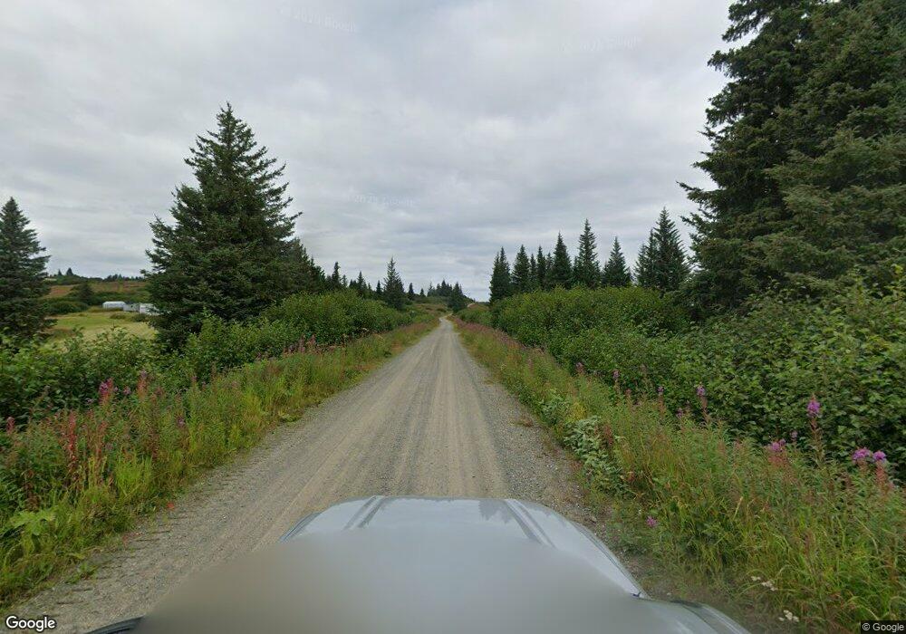
LJ5 Ridge St Anchor Point, AK
Estimated Value: $107,800
--
Bed
--
Bath
64
Sq Ft
$1,684/Sq Ft
Est. Value
About This Home
This home is located at LJ5 Ridge St, Anchor Point, AK and is currently priced at $107,800, approximately $1,684 per square foot. LJ5 Ridge St is a home located in Kenai Peninsula Borough with nearby schools including Nikolaevsk School.
Ownership History
Date
Name
Owned For
Owner Type
Purchase Details
Closed on
May 12, 2025
Sold by
Beveridge Heather
Bought by
Soto Faith Emma and Soto Joseph Alexander
Current Estimated Value
Home Financials for this Owner
Home Financials are based on the most recent Mortgage that was taken out on this home.
Original Mortgage
$73,500
Outstanding Balance
$72,472
Interest Rate
5.89%
Mortgage Type
New Conventional
Purchase Details
Closed on
Nov 20, 2003
Sold by
Smith Steven Lane
Bought by
Beveridge Heather
Create a Home Valuation Report for This Property
The Home Valuation Report is an in-depth analysis detailing your home's value as well as a comparison with similar homes in the area
Home Values in the Area
Average Home Value in this Area
Purchase History
| Date | Buyer | Sale Price | Title Company |
|---|---|---|---|
| Soto Faith Emma | -- | First American Title | |
| Beveridge Heather | -- | -- |
Source: Public Records
Mortgage History
| Date | Status | Borrower | Loan Amount |
|---|---|---|---|
| Open | Soto Faith Emma | $73,500 |
Source: Public Records
Tax History Compared to Growth
Tax History
| Year | Tax Paid | Tax Assessment Tax Assessment Total Assessment is a certain percentage of the fair market value that is determined by local assessors to be the total taxable value of land and additions on the property. | Land | Improvement |
|---|---|---|---|---|
| 2025 | $650 | $64,900 | $62,900 | $2,000 |
| 2024 | $650 | $63,000 | $61,000 | $2,000 |
| 2023 | $577 | $53,600 | $51,600 | $2,000 |
| 2022 | $262 | $47,300 | $45,300 | $2,000 |
| 2021 | $340 | $45,600 | $43,600 | $2,000 |
| 2020 | $510 | $45,600 | $43,600 | $2,000 |
| 2019 | $340 | $30,500 | $29,000 | $1,500 |
| 2018 | $340 | $30,500 | $29,000 | $1,500 |
| 2017 | $334 | $30,500 | $29,000 | $1,500 |
| 2016 | $334 | $30,500 | $29,000 | $1,500 |
| 2015 | $396 | $30,500 | $29,000 | $1,500 |
| 2014 | $396 | $30,500 | $29,000 | $1,500 |
Source: Public Records
Map
Nearby Homes
- 65676 Ring of Fire Ave
- 66822 Kennedy Ave
- 34540 Alamar Rd
- 34113 Bluegrass St
- Tr 43 Handcart Rd (Trail Access)
- 38593 Taylor St
- 68062 Jolly Ave
- 39047 Sayer Rd
- 68021 Jolly Ave
- 14 Lots Hard Rock St
- 33790 Handcart Rd
- 33670 Handcart Rd
- 42706 Old Sterling Hwy
- 69783 Tipton Ave
- 39720 Sterling Hwy
- 0001 W Highland Blvd
- 0002 W Highland Blvd
- 41350 Old Sterling Hwy Unit L2B
- 41350 Old Sterling Hwy Unit L2A
- 000 Fletcher Rd
- 65656 Ring of Fire Ave
- 36585 Draft Cir
- 000 Fox Rd
- 2 Lots Fox Rd
- 36560 Ridge St
- 65600 Ring of Fire Ave
- 36595 Draft Cir
- Tr J3 Ridge St
- 65685 Tramway
- 36508 Fox Rd
- 000 Hidden Hills
- 65675 Tramway Ave
- 65847 Heaven Ave
- L4 B1 Alder Cir
- 36529 Fox Rd
- L5 B5 Fox Rd
- 36510 Fox Rd
- Tr H6 D St
- L14 B5 Spruce Creek Rd
- L14 B5 Spruce Circle Rd
