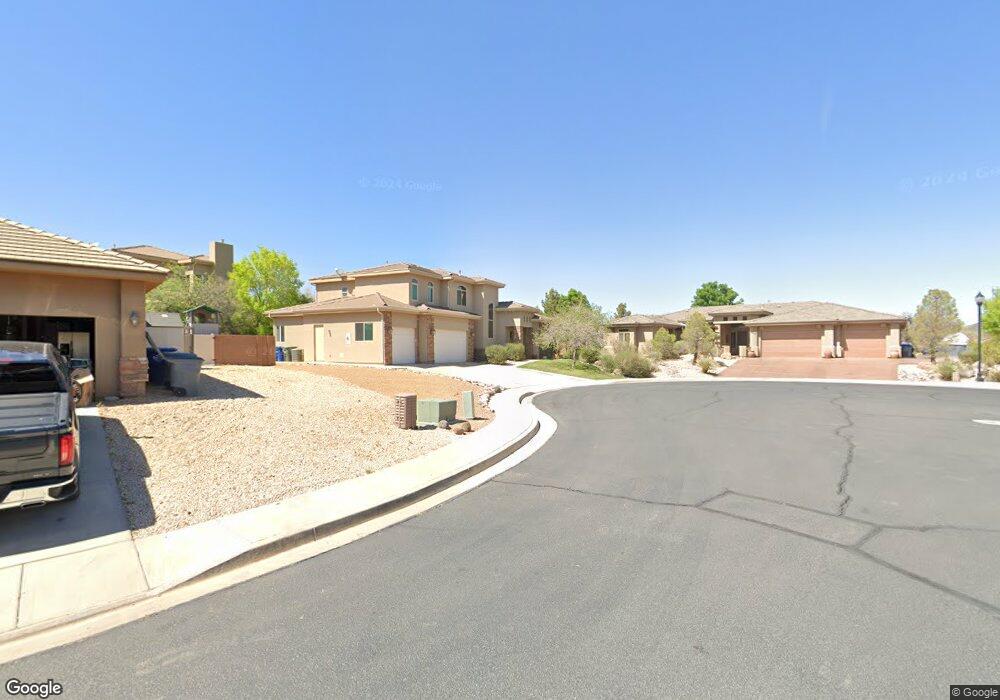
Lot 17 1950 Cir W Saint George, UT 84770
Estimated Value: $711,000 - $869,000
3
Beds
2
Baths
12,965
Sq Ft
$61/Sq Ft
Est. Value
About This Home
This home is located at Lot 17 1950 Cir W, Saint George, UT 84770 and is currently estimated at $790,158, approximately $60 per square foot. Lot 17 1950 Cir W is a home located in Washington County with nearby schools including Arrowhead School, Dixie Intermediate School, and Dixie Middle School.
Ownership History
Date
Name
Owned For
Owner Type
Purchase Details
Closed on
Nov 20, 2024
Sold by
Galloway Darrell R and Galloway Linda W
Bought by
Galloway Family Trust and Galloway
Current Estimated Value
Purchase Details
Closed on
Apr 15, 2011
Sold by
Galloway Lonnie Roy and Galloway Cordelia L
Bought by
The Lonnie R & Cordelia L Galloway Trust
Purchase Details
Closed on
Dec 9, 2010
Sold by
S & S Construction Inc
Bought by
Galloway Lonnie Roy and Galloway Cordelia L
Purchase Details
Closed on
Aug 5, 2010
Sold by
Qrs Development Inc
Bought by
S & S Construction Inc
Create a Home Valuation Report for This Property
The Home Valuation Report is an in-depth analysis detailing your home's value as well as a comparison with similar homes in the area
Home Values in the Area
Average Home Value in this Area
Purchase History
| Date | Buyer | Sale Price | Title Company |
|---|---|---|---|
| Galloway Family Trust | -- | None Listed On Document | |
| Galloway Darrell R | -- | None Listed On Document | |
| Galloway Darrell R | -- | None Listed On Document | |
| The Lonnie R & Cordelia L Galloway Trust | -- | None Available | |
| Galloway Lonnie Roy | -- | Southern Utah Title | |
| S & S Construction Inc | -- | None Available |
Source: Public Records
Tax History Compared to Growth
Tax History
| Year | Tax Paid | Tax Assessment Tax Assessment Total Assessment is a certain percentage of the fair market value that is determined by local assessors to be the total taxable value of land and additions on the property. | Land | Improvement |
|---|---|---|---|---|
| 2025 | $1,778 | $375,045 | $111,210 | $263,835 |
| 2023 | $2,493 | $366,575 | $100,100 | $266,475 |
| 2022 | $2,720 | $376,310 | $100,100 | $276,210 |
| 2021 | $1,781 | $469,200 | $131,600 | $337,600 |
| 2020 | $1,646 | $419,500 | $125,900 | $293,600 |
| 2019 | $2,157 | $411,600 | $125,900 | $285,700 |
| 2018 | $1,501 | $201,450 | $0 | $0 |
| 2017 | $1,401 | $186,490 | $0 | $0 |
| 2016 | $2,026 | $181,100 | $0 | $0 |
| 2015 | $1,465 | $176,040 | $0 | $0 |
| 2014 | $1,326 | $164,105 | $0 | $0 |
Source: Public Records
Map
Nearby Homes
- 584 S Dixie Dr Unit Lot 20
- 584 S Dixie Dr Unit Lot 19
- 584 S Dixie Dr
- 584 S Dixie Dr Unit Lot 18
- 584 S Dixie Dr Unit 26
- 691 Rainier Dr
- 0 W 740 S Unit 50 2089047
- 0 W 740 S
- 1704 W 680 S
- 2024 W 450 Cir S
- 2050 W Canyon View Dr Unit 35b
- 2050 W Canyon View Dr Unit 8A
- 2050 W Canyon View Dr Unit 35B
- 2050 W Canyon View Dr Unit 26
- 2050 W Canyon View Dr Unit 246
- 546 S Cecita Way
- 619 S Cecita Way
- 0 Crown Point Lot 26 Unit 22-236098
- 610 S 1950 Cir W
- 610 S 1950 W
- Lot 18 1950 Cir W
- 627 S 1950 W
- 1950 1950 Cir W
- 624 S 1950 W
- 1938 Pike's Dr
- 1938 Pikes Cir
- 1938 Pikes Cir Unit 19
- 1938 W Pikes Cir
- 624 S 1950 Cir W
- 1938 Pikes Dr
- 1926 Pikes Dr
- 1839 W 680 South Cir
- 1914 Pikes Dr
- Lot 14 1950 Cir W
- 1914 W Pikes Cir
- 636 S 1950 Cir W
- 597 S Shasta