lot 22 Max Ave Salisbury, NC 28147
Estimated Value: $50,000 - $434,000
Studio
--
Bath
--
Sq Ft
110,642
Sq Ft Lot
About This Home
This home is located at lot 22 Max Ave, Salisbury, NC 28147 and is currently estimated at $242,000. lot 22 Max Ave is a home located in Rowan County with nearby schools including Mount Ulla Elementary School, West Rowan Middle School, and West Rowan High School.
Ownership History
Date
Name
Owned For
Owner Type
Purchase Details
Closed on
Sep 6, 2011
Sold by
Bank Of North Carolina
Bought by
J & E Land Holding Company Llc
Current Estimated Value
Home Financials for this Owner
Home Financials are based on the most recent Mortgage that was taken out on this home.
Original Mortgage
$1,300,000
Interest Rate
4.38%
Mortgage Type
Unknown
Purchase Details
Closed on
Dec 4, 2009
Sold by
Correll Farms Of Rowan Llc
Bought by
Bank Of North Carolina
Create a Home Valuation Report for This Property
The Home Valuation Report is an in-depth analysis detailing your home's value as well as a comparison with similar homes in the area
Purchase History
| Date | Buyer | Sale Price | Title Company |
|---|---|---|---|
| J & E Land Holding Company Llc | $1,300,000 | None Available | |
| Bank Of North Carolina | $907,125 | None Available |
Source: Public Records
Mortgage History
| Date | Status | Borrower | Loan Amount |
|---|---|---|---|
| Closed | J & E Land Holding Company Llc | $1,300,000 |
Source: Public Records
Tax History
| Year | Tax Paid | Tax Assessment Tax Assessment Total Assessment is a certain percentage of the fair market value that is determined by local assessors to be the total taxable value of land and additions on the property. | Land | Improvement |
|---|---|---|---|---|
| 2025 | $363 | $53,550 | $53,550 | $0 |
| 2024 | $363 | $53,550 | $53,550 | $0 |
| 2023 | $363 | $53,550 | $53,550 | $0 |
| 2022 | $404 | $53,550 | $53,550 | $0 |
| 2021 | $400 | $53,550 | $53,550 | $0 |
| 2020 | $400 | $53,550 | $53,550 | $0 |
| 2019 | $400 | $53,550 | $53,550 | $0 |
| 2018 | $397 | $53,550 | $53,550 | $0 |
| 2017 | $397 | $53,550 | $53,550 | $0 |
| 2016 | $397 | $53,550 | $53,550 | $0 |
| 2015 | $402 | $53,550 | $53,550 | $0 |
| 2014 | $383 | $53,550 | $53,550 | $0 |
Source: Public Records
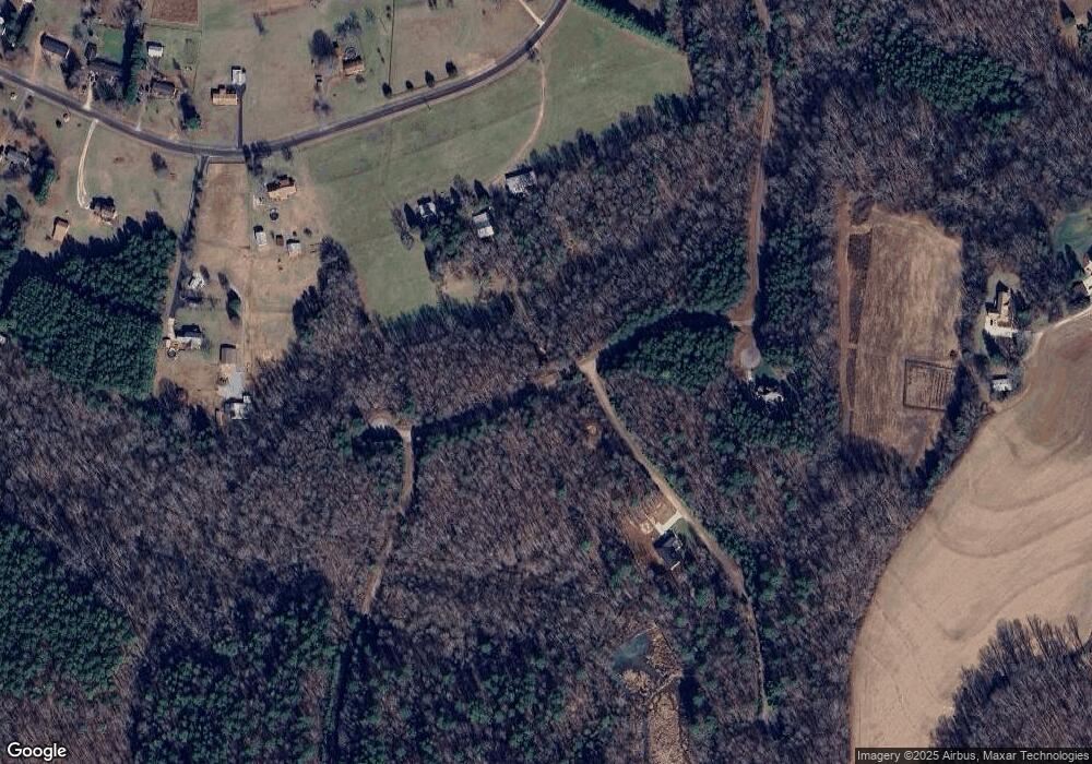
Map
Nearby Homes
- 170 Saint James Way
- 443 Blue Mountain Rd
- 446 Blue Mountain Rd
- 452 Blue Mountain Rd
- 463 Blue Mountain Rd
- 7195 Mooresville Rd
- 0 Patterson Rd
- 1055 Coppergate Dr
- 1033 Stonegate Dr
- 1063 Stonegate Dr
- 1075 Stonegate Dr
- 1115 Stonegate Dr
- 1135 Stonegate Dr
- 250 Goldenrod Cir
- 1325 Coppergate Dr
- 152 Old Bailey Ct
- 1070 Castle Mill Ln
- 1091 Stonegate Dr
- 0 Yount Dr Unit CAR4321628
- 000 Mooresville Rd
- lot 52 Max Ave
- lot 50 Max Ave
- lot 54 Max Ave
- lot 53 Max Ave
- lot 51 Max Ave
- lot 49 Max Ave
- lot 23 Max Ave
- lot 55 Max Ave
- 495 St James Way
- 495 Saint James Way
- lot 21 Otter Trail
- lot 10 Otter Trail
- lot 20 Otter Trail
- lot 19 Otter Trail
- lot 18 Otter Trail
- lot 17 Otter Trail
- lot 16 Otter Trail
- lot 15 Otter Trail
- lot 14 Otter Trail
- lot 13 Otter Trail
Your Personal Tour Guide
Ask me questions while you tour the home.