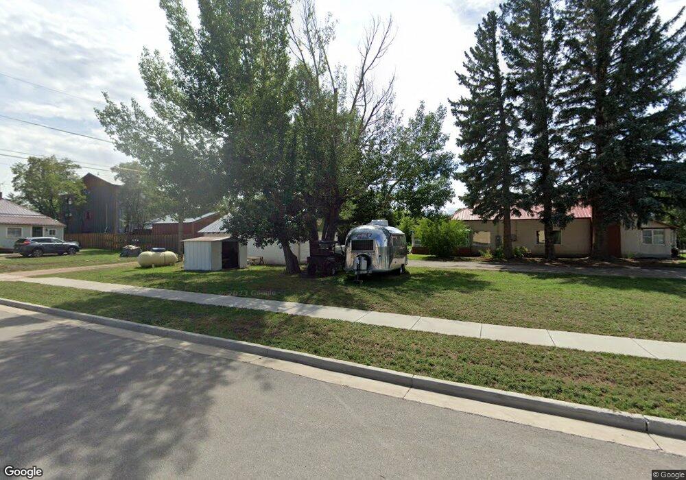
Lot 7 Map 20 To Be Determined Westcliffe, CO 81252
Estimated Value: $357,480 - $664,000
--
Bed
--
Bath
--
Sq Ft
35.96
Acres
About This Home
This home is located at Lot 7 Map 20 To Be Determined, Westcliffe, CO 81252 and is currently estimated at $510,740. Lot 7 Map 20 To Be Determined is a home located in Custer County with nearby schools including Custer County Elementary School, Custer Middle School, and Custer County High School.
Ownership History
Date
Name
Owned For
Owner Type
Purchase Details
Closed on
Jun 3, 2024
Sold by
Milton John E and Milton Lara A
Bought by
Rocky View Living Trust and Milton
Current Estimated Value
Purchase Details
Closed on
Jul 13, 2020
Sold by
Jacobs Bruce and Jacobs Diane R
Bought by
Milton John E and Milton Lara A
Home Financials for this Owner
Home Financials are based on the most recent Mortgage that was taken out on this home.
Original Mortgage
$93,000
Interest Rate
3.1%
Mortgage Type
New Conventional
Purchase Details
Closed on
Sep 17, 1990
Sold by
Bull Domingo Ranch
Bought by
Jacobs Bruce and Jacobs Diane
Create a Home Valuation Report for This Property
The Home Valuation Report is an in-depth analysis detailing your home's value as well as a comparison with similar homes in the area
Home Values in the Area
Average Home Value in this Area
Purchase History
| Date | Buyer | Sale Price | Title Company |
|---|---|---|---|
| Rocky View Living Trust | -- | None Listed On Document | |
| Rocky View Living Trust | -- | None Listed On Document | |
| Milton John E | $124,000 | Unified Title Company | |
| Jacobs Bruce | $33,000 | -- |
Source: Public Records
Mortgage History
| Date | Status | Borrower | Loan Amount |
|---|---|---|---|
| Previous Owner | Milton John E | $93,000 |
Source: Public Records
Tax History Compared to Growth
Tax History
| Year | Tax Paid | Tax Assessment Tax Assessment Total Assessment is a certain percentage of the fair market value that is determined by local assessors to be the total taxable value of land and additions on the property. | Land | Improvement |
|---|---|---|---|---|
| 2024 | $2,456 | $38,990 | $0 | $0 |
| 2023 | $2,456 | $36,630 | $0 | $0 |
| 2022 | $19 | $310 | $310 | $0 |
| 2021 | $21 | $310 | $310 | $0 |
| 2020 | $19 | $300 | $300 | $0 |
| 2019 | $19 | $300 | $300 | $0 |
| 2018 | $18 | $280 | $280 | $0 |
| 2017 | $18 | $282 | $282 | $0 |
| 2016 | $16 | $260 | $260 | $0 |
| 2015 | $16 | $904 | $904 | $0 |
| 2012 | $13 | $746 | $746 | $0 |
Source: Public Records
Map
Nearby Homes
- 125 Quanah Rd
- 125 Quanah Rd Unit 7
- 240 240 Maricopa Ct
- 555 Geronimo Rd
- 1965 Williams Trace
- 880 Quanah Rd
- 210 Maricopa Ct
- 255 Maricopa Ct
- TBD Satanta
- 455 Satanta Cir
- 240 Maricopa Ct
- 500 Satanta Cir
- 1860 Williams Trace
- 580 Shy Cir
- 505 Insula Rd
- 1200 Quanah Rd
- 400 Shy Cir
- 1700 Williams Trace
- 1700 Geronimo Rd Unit 2
- 1700 Geronimo Rd
