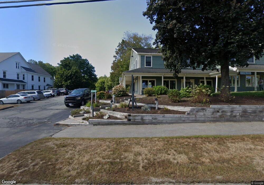
Lot A Map 18 Lot 15 Route 1 N Freeport, ME 04032
4
Beds
3
Baths
2,430
Sq Ft
2.2
Acres
About This Home
This home is located at Lot A Map 18 Lot 15 Route 1 N, Freeport, ME 04032. Lot A Map 18 Lot 15 Route 1 N is a home located in Cumberland County with nearby schools including Morse Street School, Mast Landing School, and Freeport Middle School.
Create a Home Valuation Report for This Property
The Home Valuation Report is an in-depth analysis detailing your home's value as well as a comparison with similar homes in the area
Home Values in the Area
Average Home Value in this Area
Tax History Compared to Growth
Map
Nearby Homes
- 1595 U S Route 1
- 713 Old Portland Rd
- 31 Allen Range Rd
- 0 Prout Rd
- Lot #3 Fernwood Dr
- 7 Hideaway Dr
- 3 Ron Henry Ln
- 42A Wardtown Rd
- 1260 Us Route 1
- 15 Tinkers Way
- Lot #2 Collinsbrook Rd
- 143 Bragdon Rd
- 10 North Trail
- 16 Curtis Rd
- 12 Peter Robin Way
- 140 Grant Rd
- 134 Durham Rd
- 105 Hillside Rd
- 137 Durham Rd
- 5 Indian Ridge Rd
- 20 Spencers Ridge Rd
- 3 Taylor Hill Rd
- 0 Spencer's Ridge Unit 925373
- 0 Spencer's Ridge Way Unit 1074479
- 2 Spencers Ridge Rd
- 0 Lot 2 Spencer Ridge
- 1576 Us Route 1
- 1576 Us Route 1
- 1612 Us Route 1
- Lot 1 Map 18 Lot 16a Route 1 N
- 1613 U S 1
- 9 Thunder Rd
- Lot 5 Rolling Meadow Subdivision
- 19 Jameson Way
- 18 Spencers Ridge Rd
- Lot 3 Sunrise Place
- 1615 Us Route 1
- Lot 4 Rolling Meadow Subdivision
- Lot 3 Rolling Meadow Subdivision
- 21 Spencers Ridge Rd