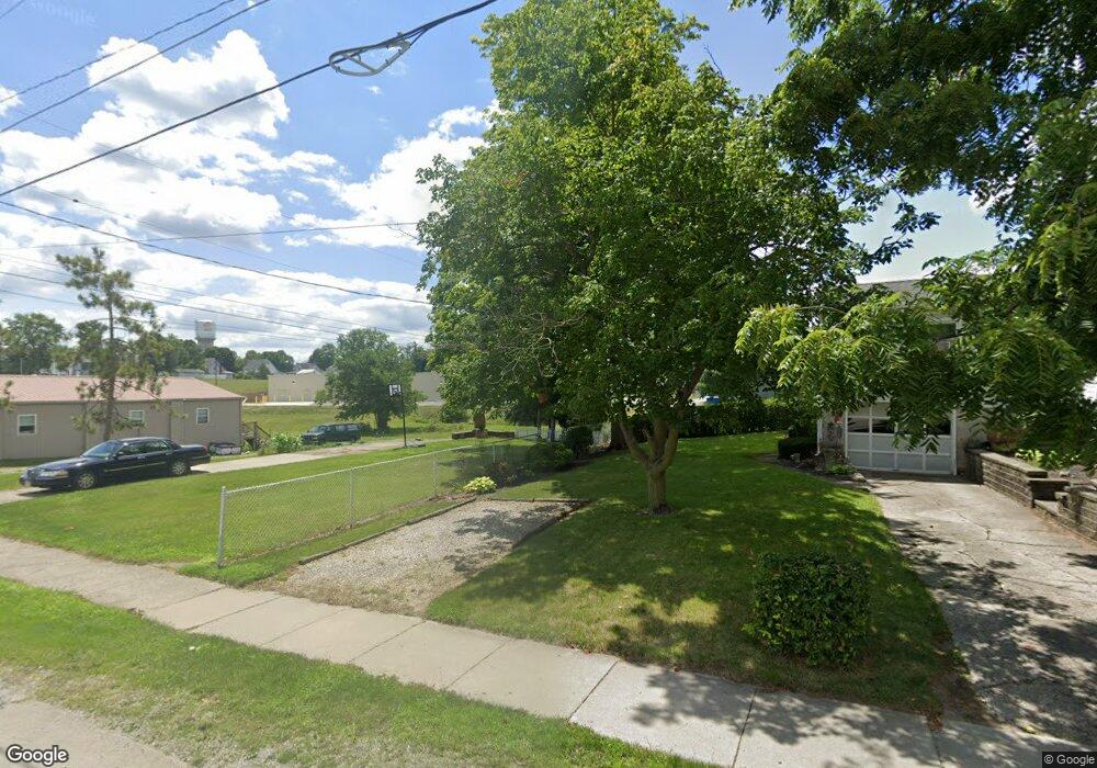
M-50 Rd Rd West Unity, OH 43570
Estimated Value: $146,000 - $175,000
3
Beds
1
Bath
1,056
Sq Ft
$155/Sq Ft
Est. Value
About This Home
This home is located at M-50 Rd Rd, West Unity, OH 43570 and is currently estimated at $163,667, approximately $154 per square foot. M-50 Rd Rd is a home with nearby schools including Hilltop Elementary School and Hilltop High School.
Ownership History
Date
Name
Owned For
Owner Type
Purchase Details
Closed on
Jun 8, 2005
Sold by
Trisel James A and Trisel Alesia M
Bought by
Watson David L
Current Estimated Value
Home Financials for this Owner
Home Financials are based on the most recent Mortgage that was taken out on this home.
Original Mortgage
$92,000
Outstanding Balance
$46,817
Interest Rate
5.87%
Mortgage Type
Purchase Money Mortgage
Estimated Equity
$116,850
Purchase Details
Closed on
Jun 10, 1992
Bought by
Trisel James A And
Create a Home Valuation Report for This Property
The Home Valuation Report is an in-depth analysis detailing your home's value as well as a comparison with similar homes in the area
Purchase History
| Date | Buyer | Sale Price | Title Company |
|---|---|---|---|
| Watson David L | $115,000 | None Available | |
| Trisel James A And | $57,000 | -- |
Source: Public Records
Mortgage History
| Date | Status | Borrower | Loan Amount |
|---|---|---|---|
| Open | Watson David L | $92,000 |
Source: Public Records
Tax History
| Year | Tax Paid | Tax Assessment Tax Assessment Total Assessment is a certain percentage of the fair market value that is determined by local assessors to be the total taxable value of land and additions on the property. | Land | Improvement |
|---|---|---|---|---|
| 2025 | $1,620 | $44,870 | $7,910 | $36,960 |
| 2024 | $1,620 | $44,870 | $7,910 | $36,960 |
| 2023 | $1,650 | $35,910 | $7,840 | $28,070 |
| 2022 | $1,574 | $35,910 | $7,840 | $28,070 |
| 2021 | $1,574 | $35,910 | $7,840 | $28,070 |
| 2020 | $1,351 | $29,960 | $6,580 | $23,380 |
| 2019 | $1,328 | $29,960 | $6,580 | $23,380 |
| 2018 | $1,291 | $29,960 | $6,580 | $23,380 |
| 2017 | $1,295 | $29,160 | $6,790 | $22,370 |
| 2016 | $1,238 | $29,160 | $6,790 | $22,370 |
| 2015 | $1,236 | $29,160 | $6,790 | $22,370 |
| 2014 | $1,236 | $26,500 | $6,160 | $20,340 |
| 2013 | $1,219 | $26,500 | $6,160 | $20,340 |
Source: Public Records
Map
Nearby Homes
- 902 E Church St
- 502 N Lincoln St
- 000 W Jackson
- 22227 Us Highway 20a
- 611 W Jackson St
- 613 W Jackson St
- 9019 19-50 Rd
- 20095 County Road H50
- 21672 County Road J
- 8437 18 Rd
- 35 Rehn Dr
- 310 Irene Ct
- Lot 35 of Rehn Dr
- 203 College St
- 404 S Fayette St
- 14640 U S 20a
- 301 E Spring St
- 14605 County O
- 0 US Highway 20a
- 8520 County Road 16
- 13611 Us Highway 127
- 21363 County Road M50
- 21515 County Road M50
- 20988 County Road M90
- 21043 County Road M
- 21059 County Road M
- 20777 County Road M
- 20630 County Road M90
- 220216 Co Rd I-50
- 21538 County Road M
- 000 County Road M
- 0 County Road M
- 14124 Us Highway 127
- 21625 County Road M
- 20462 County Road M90
- 20347 County Road M
- 20321 County Road M
- 21823 County Road M
- 20265 County Road M
- 14310 Us Highway 127
Your Personal Tour Guide
Ask me questions while you tour the home.