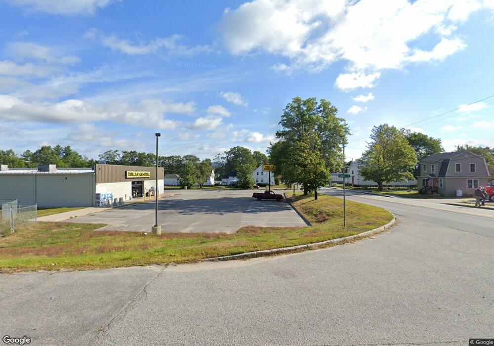
Map 17/62 Carroll Ln Limerick, ME 04048
--
Bed
--
Bath
--
Sq Ft
1.83
Acres
About This Home
This home is located at Map 17/62 Carroll Ln, Limerick, ME 04048. Map 17/62 Carroll Ln is a home located in York County with nearby schools including Massabesic High School and Ossipee Valley Christian School.
Create a Home Valuation Report for This Property
The Home Valuation Report is an in-depth analysis detailing your home's value as well as a comparison with similar homes in the area
Home Values in the Area
Average Home Value in this Area
Tax History Compared to Growth
Map
Nearby Homes
- 148 Washington St Unit A
- 33 Maple St
- 243 Sokokis Trail N
- 80 Kelley Ln
- 36 Elm St
- 21 Quarry Rd
- 71 Quarry Rd
- 16 Whiteley Rd
- 110 Pleasant Hill Rd
- 91 Pleasant Hill Rd
- 155 Quarry Rd
- 48 Pleasant Hill Rd
- 7 Echo Ln
- LOT# 8 Business Park Rd
- Lot# 11 Business Park Rd
- 4 Deer Crossing Rd
- 14 Mallard Dr
- Lot 12 Prokey Dr
- Lot 7 Prokey Dr
- 55 Sportsmans Way
