Map 38 L2 Sanctuary Rd Harpswell, ME 04079
Harpswell Neighborhood
--
Bed
--
Bath
--
Sq Ft
2.8
Acres
About This Home
This home is located at Map 38 L2 Sanctuary Rd, Harpswell, ME 04079. Map 38 L2 Sanctuary Rd is a home located in Cumberland County with nearby schools including Mt Ararat High School.
Create a Home Valuation Report for This Property
The Home Valuation Report is an in-depth analysis detailing your home's value as well as a comparison with similar homes in the area
Home Values in the Area
Average Home Value in this Area
Tax History Compared to Growth
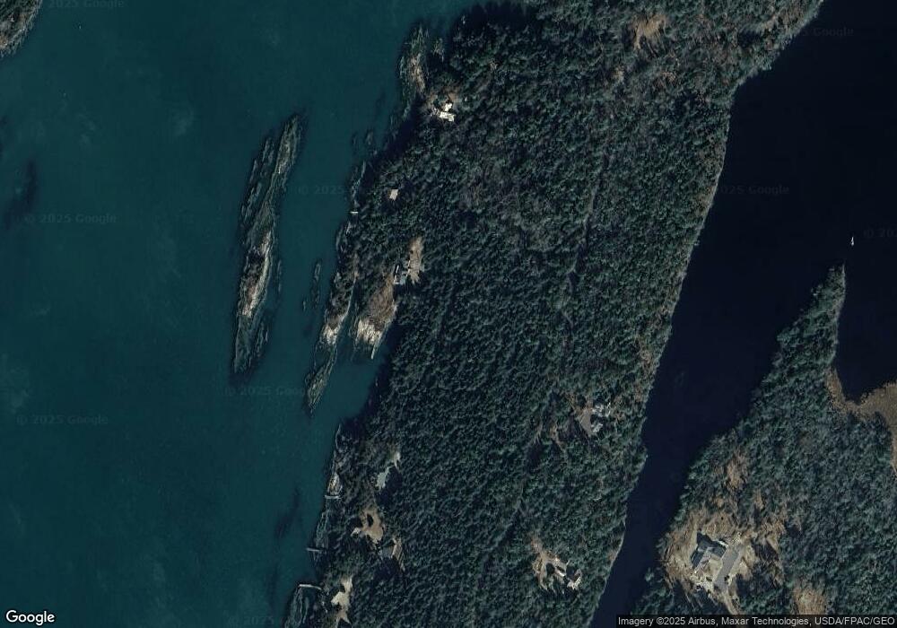
Map
Nearby Homes
- lot C Long Point Rd
- 0 Bayview Rd Unit 2 1632776
- 20 Long Point Island
- 11 Orion Point Way
- Lot 2A Allen Point Rd
- Lot 2B Allen Point Rd
- 1689 Harpswell Islands Rd
- 205 W Cundys Point
- 87 Lowells Cove Rd
- 41 Spruce Brook Dr
- 136 Bethel Point Rd
- 1 Mallard Pond Rd
- Lot 129 Harpswell Neck Rd
- 943 Cundys Harbor Rd
- 37 & 38 S Dyers Cove Rd
- 30 Osbourne Row
- 1450 Harpswell Neck Rd
- 10 Irene Ave
- 242 Long Reach Ln
- 270 Harpswell Neck Rd
- 0 Sanctuary Rd
- 22 Sanctuary Rd
- 14 Sanctuary Rd
- 48 Sanctuary Rd
- 155 Gun Point Rd
- 110 Gun Point Rd
- 16 Sea Spot Run
- 165 Gun Point Rd
- 15 Sea Spot Run
- 32 Tuttle Dr
- 15 Tote Rd
- 7 Sea Spot Run
- 196 Gun Point Rd
- 193 Gun Point Rd
- 0 Gun Point Rd
- 0 the Tote Rd Unit 1533884
- Lot 6B Gun Pt Tote Rd
- 14 Parthas Ct
- 12 Parthas Ct
- 205 Gun Point Rd