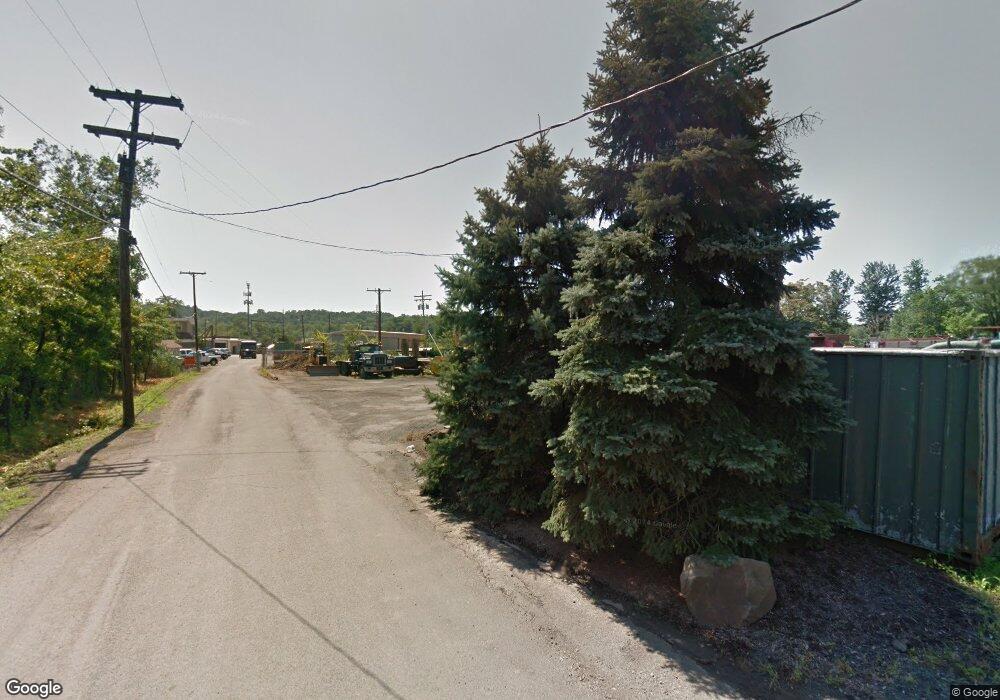
1 Lone Pine Dr Berkeley Heights, NJ 07922
2
Beds
--
Bath
1,148
Sq Ft
5.26
Acres
About This Home
This home is located at 1 Lone Pine Dr, Berkeley Heights, NJ 07922. 1 Lone Pine Dr is a home located in Union County with nearby schools including Columbia Middle School, Governor Livingston High School, and The Academy of Our Lady of Peace.
Ownership History
Date
Name
Owned For
Owner Type
Purchase Details
Closed on
Oct 30, 2023
Sold by
Lone Pine Drive Urban Renewal Llc
Bought by
New Jersey Department Of Environmental Protec
Purchase Details
Closed on
Dec 18, 2020
Sold by
Lone Pine Drive Urban Renewal Llc
Bought by
Lone Pine Drive Urban Renewal Llc
Home Financials for this Owner
Home Financials are based on the most recent Mortgage that was taken out on this home.
Original Mortgage
$37,409,119
Interest Rate
2.65%
Mortgage Type
Construction
Purchase Details
Closed on
Jan 13, 1999
Sold by
Spatz Philip H and Spatz Paul V
Bought by
Twin Pine Realty Corp
Create a Home Valuation Report for This Property
The Home Valuation Report is an in-depth analysis detailing your home's value as well as a comparison with similar homes in the area
Home Values in the Area
Average Home Value in this Area
Purchase History
| Date | Buyer | Sale Price | Title Company |
|---|---|---|---|
| New Jersey Department Of Environmental Protec | -- | None Listed On Document | |
| New Jersey Department Of Environmental Protec | -- | None Listed On Document | |
| Lone Pine Drive Urban Renewal Llc | -- | First Bergen Title Agcy Llc | |
| Lone Pine Drive Urban Renewal Llc | $1,510,875 | Peterpanl Anthony J | |
| Lone Pine Dr Urban Renewal Llc | $1,510,875 | None Listed On Document | |
| Twin Pine Realty Corp | -- | -- | |
| Spatz Philip H | -- | -- |
Source: Public Records
Mortgage History
| Date | Status | Borrower | Loan Amount |
|---|---|---|---|
| Previous Owner | Lone Pine Dr Urban Renewal Llc | $37,409,119 |
Source: Public Records
Tax History Compared to Growth
Tax History
| Year | Tax Paid | Tax Assessment Tax Assessment Total Assessment is a certain percentage of the fair market value that is determined by local assessors to be the total taxable value of land and additions on the property. | Land | Improvement |
|---|---|---|---|---|
| 2025 | $139,143 | $3,245,700 | $3,245,700 | -- |
| 2024 | $137,131 | $3,245,700 | $3,245,700 | $0 |
| 2023 | $137,131 | $3,245,700 | $3,245,700 | $0 |
| 2022 | $136,287 | $3,245,700 | $3,245,700 | $0 |
| 2021 | $215,064 | $5,150,000 | $5,040,000 | $110,000 |
| 2020 | $216,197 | $5,150,000 | $5,040,000 | $110,000 |
| 2019 | $14,958 | $358,100 | $169,000 | $189,100 |
| 2018 | $14,646 | $358,100 | $169,000 | $189,100 |
| 2017 | $14,467 | $358,100 | $169,000 | $189,100 |
| 2016 | $14,213 | $358,100 | $169,000 | $189,100 |
| 2015 | $14,134 | $358,100 | $169,000 | $189,100 |
| 2014 | $13,765 | $358,100 | $169,000 | $189,100 |
Source: Public Records
Map
Nearby Homes
- 27 Angela Way Unit 727
- 3 Cottage Ct Unit 3
- 235 Plainfield Ave
- 286 Washington St
- 28 Peacock Ln Unit 28
- 63 Snyder Ave
- 46 Snyder Ave
- 217 Lincoln St
- 52 Columbia Ave
- 43 Kuntz Ave
- 4 Daria Ln Unit 2
- 61 Kuntz Ave
- 47 Park Edge Unit G1G
- 93 Park Edge Unit 3H
- 96 Exeter Dr
- 30 Robbins Ave
- 536 Snyder Ave
- 18 Ridge Rd
- 78 Spring Ridge Dr
- 41 Meadowview Ln
- 91 Lone Pine Dr
- 77 Industrial Rd
- 135 Industrial Rd
- 81 Industrial Rd
- 9 Paula Way
- 8 Paula Way
- 7 Paula Way
- 6 Paula Way Unit 706
- 5 Paula Way Unit 705
- 10 Helen Way Unit 710
- 11 Helen Way Unit 711
- 12 Helen Way Unit 712
- 13 Helen Way Unit 713
- 14 Helen Way Unit 714
- 4 Paula Way Unit 704
- 15 Helen Way Unit 715
- 3 Paula Way
- 3 Paula Way Unit 703
- 53 Industrial Rd Unit B
- 53 Industrial Rd
