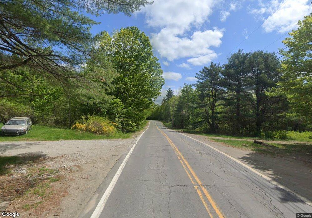
MR2 L38 Route 43 & Poor Farm Rd Starks, ME 04911
--
Bed
--
Bath
--
Sq Ft
151
Acres
About This Home
This home is located at MR2 L38 Route 43 & Poor Farm Rd, Starks, ME 04911. MR2 L38 Route 43 & Poor Farm Rd is a home located in Somerset County with nearby schools including Madison Area Memorial High School.
Create a Home Valuation Report for This Property
The Home Valuation Report is an in-depth analysis detailing your home's value as well as a comparison with similar homes in the area
Home Values in the Area
Average Home Value in this Area
Tax History Compared to Growth
Map
Nearby Homes
- 0 Poor Farm Rd Unit 1637355
- 2679 Industry Rd
- 1550 New Sharon Rd
- 510 Branns Mill Rd
- Lot 33 Butterfield Rd
- 137 Butterfield Rd
- 257 Sawyers Mills Rd
- 331 Beans Corner Rd
- 012-002 W Mills Rd
- 349 Elm St
- 8 Magnolia Ln
- Lot 005 Greenwood Brook Rd
- 17 Claude Brewer Rd
- M10 L12 Yeaton Island
- 204 Rome Rd
- 00 U S Highway 2
- R1 37B O'Dell Rd
- 257 Rome Rd
- 862 Anson Rd
- 157 Bradley Ln
- MR2 L39 Poor Farm Rd
- 10 Poor Farm Rd
- 0 Poor Farm Rd Unit 807870
- 0 Poor Farm Rd Unit 713055
- 0 Poor Farm Rd Unit 590991
- 0 Poor Farm Rd Unit 1084283
- 0 Branns Mills& Poor Farm Rd Unit 1134772
- 31 Poor Farm Rd
- 2470 Industry Rd
- 2450 Industry Rd
- 67 Poor Farm Rd
- 2505 Industry Rd
- 2408 Industry Rd
- 2566 Industry Rd
- 00 Industry Rd
- 24 Abijah Hill Rd
- 18 Doyen Rd
- 29 Abijah Hill Rd
- 2348 Industry Rd
- 45 Abijah Hill Rd
