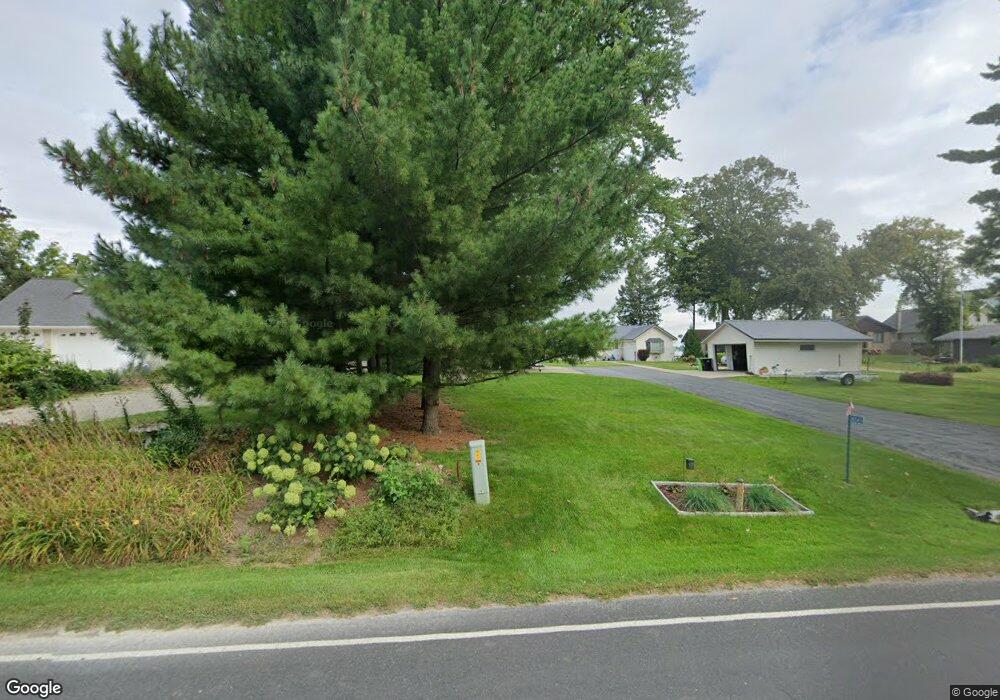
n 10453 Chief Kuno Trail Fox Lake, WI 53933
Estimated Value: $476,000 - $531,000
3
Beds
2
Baths
1,210
Sq Ft
$413/Sq Ft
Est. Value
About This Home
This home is located at n 10453 Chief Kuno Trail, Fox Lake, WI 53933 and is currently estimated at $499,648, approximately $412 per square foot. n 10453 Chief Kuno Trail is a home located in Dodge County with nearby schools including Meadow View Primary School, Rock River Intermediate School, and Waupun Area Junior High School.
Ownership History
Date
Name
Owned For
Owner Type
Purchase Details
Closed on
Jan 29, 2015
Sold by
Mcdonald Charles W and Mcdonald Susan K
Bought by
Mcdonald Family Trust and Mcdonald Susan K
Current Estimated Value
Purchase Details
Closed on
Dec 27, 2011
Sold by
Wild June C and Harmsen Kenneth C
Bought by
Mcdonald Charles W and Mcdonald Susan K
Home Financials for this Owner
Home Financials are based on the most recent Mortgage that was taken out on this home.
Original Mortgage
$196,000
Interest Rate
3.99%
Mortgage Type
New Conventional
Purchase Details
Closed on
Jun 29, 2008
Sold by
Zirbes William J
Bought by
Wild June C and Harmsen Kenneth C
Home Financials for this Owner
Home Financials are based on the most recent Mortgage that was taken out on this home.
Original Mortgage
$120,000
Interest Rate
4.86%
Mortgage Type
Purchase Money Mortgage
Create a Home Valuation Report for This Property
The Home Valuation Report is an in-depth analysis detailing your home's value as well as a comparison with similar homes in the area
Home Values in the Area
Average Home Value in this Area
Purchase History
| Date | Buyer | Sale Price | Title Company |
|---|---|---|---|
| Mcdonald Family Trust | -- | None Available | |
| Mcdonald Charles W | $245,000 | None Available | |
| Wild June C | $251,000 | None Available |
Source: Public Records
Mortgage History
| Date | Status | Borrower | Loan Amount |
|---|---|---|---|
| Previous Owner | Mcdonald Charles W | $196,000 | |
| Previous Owner | Wild June C | $120,000 |
Source: Public Records
Tax History Compared to Growth
Tax History
| Year | Tax Paid | Tax Assessment Tax Assessment Total Assessment is a certain percentage of the fair market value that is determined by local assessors to be the total taxable value of land and additions on the property. | Land | Improvement |
|---|---|---|---|---|
| 2024 | $4,969 | $331,500 | $168,000 | $163,500 |
| 2023 | $5,194 | $331,500 | $168,000 | $163,500 |
| 2022 | $4,659 | $331,500 | $168,000 | $163,500 |
| 2021 | $4,102 | $242,500 | $120,000 | $122,500 |
| 2020 | $4,283 | $242,500 | $120,000 | $122,500 |
| 2019 | $4,250 | $242,500 | $120,000 | $122,500 |
| 2018 | $4,356 | $242,500 | $120,000 | $122,500 |
| 2017 | $4,223 | $242,500 | $120,000 | $122,500 |
| 2016 | $4,270 | $242,500 | $120,000 | $122,500 |
| 2015 | $4,394 | $242,500 | $120,000 | $122,500 |
| 2014 | $4,619 | $245,000 | $120,000 | $125,000 |
Source: Public Records
Map
Nearby Homes
- 119 Linden Ln
- 123 Linden Ln
- 121 Linden Ln
- 117 Linden Ln
- N10638 Howard Dr
- N10801 Elmwood Island
- W10919 Blackhawk Trail
- W10935 Blackhawk Trail
- W10723 Blackhawk Trail
- W10723 Blackhawk 1 2 3 7 8 9 10 Trail
- 320 Mill St
- 315 Second St
- W10802 Blackhawk Trail
- 202 W Green St
- 406 S College Ave
- 305 E Crocker St
- N9384 Idle Hour Dr
- W10559 Hickory Point Rd
- W10904 Glen Dr
- W346 County Road P
- N10453 Chief Kuno Trail
- N10455 Chief Kuno Trail
- n 10455 Chief Kuno Trail
- N10451 Chief Kuno Trail
- N10449 Chief Kuno Trail
- N10457 Chief Kuno Trail
- N10459 Chief Kuno Trail
- n 10459 Chief Kuno Trail
- N10447 Chief Kuno Trail
- N10461 Chief Kuno Trail
- N10445 Chief Kuno Trail
- N10463 Chief Kuno Trail
- N10458 Chief Kuno Trail
- N10443 Chief Kuno Trail
- N10467 Chief Kuno Trail
- N10442 Chief Kuno Trail
- N10464 Chief Kuno Trail
- N10441 Chief Kuno Trail
- N10471 Chief Kuno Trail
- N10468 Chief Kuno Trail