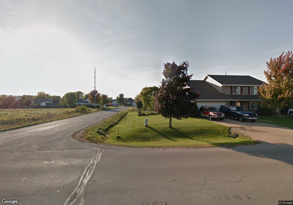
n 133 State Park Rd Appleton, WI 54915
Estimated Value: $441,000 - $653,000
Studio
4
Baths
--
Sq Ft
15,682
Sq Ft Lot
About This Home
This home is located at n 133 State Park Rd, Appleton, WI 54915 and is currently estimated at $495,854. n 133 State Park Rd is a home located in Outagamie County with nearby schools including River View School, Kaukauna High School, and New Directions Learning Community.
Ownership History
Date
Name
Owned For
Owner Type
Purchase Details
Closed on
Feb 27, 2023
Sold by
Rudie Bradley J and Rudie Christine M
Bought by
Steffen John A and Steffen Deborah I
Current Estimated Value
Purchase Details
Closed on
Jan 14, 2019
Sold by
Rudie Dennis J and Rudie Leann M
Bought by
Rudie Bradley J and Rudie Christine M
Purchase Details
Closed on
Apr 7, 2017
Sold by
Fort Mellen Llc
Bought by
Rudie Dennis J
Purchase Details
Closed on
Jan 9, 2012
Sold by
Rudie Dennis and Rudie Leann
Bought by
Fort Mellen Llc
Create a Home Valuation Report for This Property
The Home Valuation Report is an in-depth analysis detailing your home's value as well as a comparison with similar homes in the area
Home Values in the Area
Average Home Value in this Area
Purchase History
| Date | Buyer | Sale Price | Title Company |
|---|---|---|---|
| Steffen John A | $411,000 | First American Title | |
| Rudie Bradley J | $207,000 | -- | |
| Rudie Dennis J | $214,100 | -- | |
| Fort Mellen Llc | -- | -- |
Source: Public Records
Tax History
| Year | Tax Paid | Tax Assessment Tax Assessment Total Assessment is a certain percentage of the fair market value that is determined by local assessors to be the total taxable value of land and additions on the property. | Land | Improvement |
|---|---|---|---|---|
| 2024 | $5,207 | $411,000 | $57,700 | $353,300 |
| 2023 | $4,200 | $355,000 | $57,700 | $297,300 |
| 2022 | $4,102 | $318,000 | $57,700 | $260,300 |
| 2021 | $4,471 | $284,700 | $44,300 | $240,400 |
| 2020 | $4,569 | $262,700 | $44,300 | $218,400 |
| 2019 | $4,507 | $242,200 | $44,300 | $197,900 |
| 2018 | $4,331 | $234,700 | $44,300 | $190,400 |
| 2017 | $4,069 | $209,000 | $31,500 | $177,500 |
| 2016 | $3,955 | $209,000 | $31,500 | $177,500 |
| 2015 | $3,894 | $209,000 | $31,500 | $177,500 |
| 2014 | $3,888 | $209,000 | $31,500 | $177,500 |
| 2013 | $3,861 | $209,000 | $31,500 | $177,500 |
Source: Public Records
Map
Nearby Homes
- W2247 Block Rd
- W2286 Valleywood Ln
- 592 Cornrow Ln
- N9535 State Park Rd
- W5479 Hidden Trail Ln
- N371 Fieldside Ln
- W2512 Buchanan Rd
- N9427 Dusty Dr
- 103 Green Way Dr
- 623 Sweet Meadow Ln
- W5609 Jochmann Dr
- W2689 Buchanan Rd
- 435 Roger St
- 253 County Hwy N
- W5598 Hoelzel Way
- 708 Saunders Rd Unit 1
- W5618 Tonys Way
- N9337 Rosella Dr
- N9639 Crystal Ct
- W5609 Tonys Way
- N133 State Park Rd
- N141 State Park Rd
- N142 State Park Rd
- N134 Briarwood Dr
- N142 Briarwood Dr
- N124 Briarwood Dr
- 145 Briarwood Dr
- 134 Briarwood Dr
- N118 Briarwood Dr
- 125 Briarwood Dr
- 118 Briarwood Dr
- N137 Briarwood Dr
- N145 Briarwood Dr
- N131 Briarwood Dr
- N125 Briarwood Dr
- W2315 Greenspire Way
- N125 Briarwood Dr
- N153 Briarwood Dr
- W2321 Greenspire Way
- N161 Briarwood Dr
Your Personal Tour Guide
Ask me questions while you tour the home.