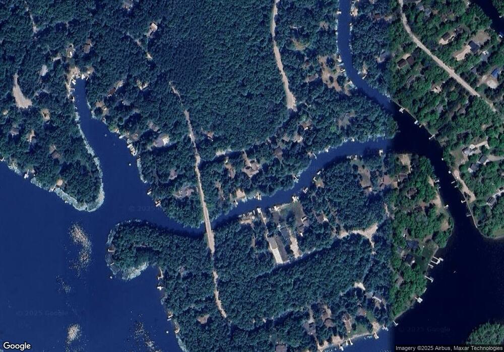
n 1458 S Branch Path Keshena, WI 54135
Estimated Value: $524,000 - $584,000
3
Beds
4
Baths
1,820
Sq Ft
$308/Sq Ft
Est. Value
About This Home
This home is located at n 1458 S Branch Path, Keshena, WI 54135 and is currently estimated at $560,060, approximately $307 per square foot. n 1458 S Branch Path is a home located in Menominee County with nearby schools including Keshena Primary School, Menominee Indian Middle School, and Menominee Indian High School.
Ownership History
Date
Name
Owned For
Owner Type
Purchase Details
Closed on
Jun 14, 2023
Sold by
Reif Michael and Reif Robin
Bought by
Reif Family Revocable Trust Dated June
Current Estimated Value
Purchase Details
Closed on
Jul 26, 2021
Sold by
Witte John R
Bought by
Dillenburg Leo J
Home Financials for this Owner
Home Financials are based on the most recent Mortgage that was taken out on this home.
Interest Rate
2.8%
Create a Home Valuation Report for This Property
The Home Valuation Report is an in-depth analysis detailing your home's value as well as a comparison with similar homes in the area
Home Values in the Area
Average Home Value in this Area
Purchase History
| Date | Buyer | Sale Price | Title Company |
|---|---|---|---|
| Reif Family Revocable Trust Dated June | $500,000 | Michael Easton | |
| Dillenburg Leo J | $400,000 | -- | |
| Dillenburg Leo J | $400,000 | -- |
Source: Public Records
Mortgage History
| Date | Status | Borrower | Loan Amount |
|---|---|---|---|
| Previous Owner | Dillenburg Leo J | -- |
Source: Public Records
Tax History Compared to Growth
Tax History
| Year | Tax Paid | Tax Assessment Tax Assessment Total Assessment is a certain percentage of the fair market value that is determined by local assessors to be the total taxable value of land and additions on the property. | Land | Improvement |
|---|---|---|---|---|
| 2024 | $6,419 | $525,000 | $236,300 | $288,700 |
| 2023 | $6,388 | $242,200 | $94,500 | $147,700 |
| 2022 | $6,642 | $242,200 | $94,500 | $147,700 |
| 2021 | $4,735 | $242,200 | $94,500 | $147,700 |
| 2020 | $4,659 | $242,200 | $94,500 | $147,700 |
| 2019 | $4,448 | $265,800 | $118,100 | $147,700 |
| 2018 | $4,738 | $265,800 | $118,100 | $147,700 |
| 2017 | $4,604 | $265,800 | $118,100 | $147,700 |
| 2016 | $4,641 | $265,800 | $118,100 | $147,700 |
| 2015 | -- | $265,800 | $118,100 | $147,700 |
| 2013 | -- | $265,800 | $118,100 | $147,700 |
Source: Public Records
Map
Nearby Homes
- N1464 S Branch Path
- N1629 Fox Ridge Trail
- N1435 Spirit Ridge Rd
- N1543 Spirit Ridge Rd
- N1603 Spirit Ridge Rd
- W1514 Spirit Ridge Trail
- W1780 Fern Rd
- N1649 Spirit Ridge Rd
- W1713 Big Sky Ct
- W1829 Broken Bow Rd
- N1714 Hawks Nest Trail
- N1203 Big Sky Rd
- N1222 Big Sky Rd
- N1640 Sundance Ln
- N1628 Sundance Ln
- N1388 Blue Heron Trail
- N1305 Morning Star Rd
- W2011 Morning Star Trail
- W1926 Great Bear Rd
- N1240 Otter Ponds Ln
- N1458 S Branch Path
- N1458 Bureau of Indian Affairs Route 631
- N1443 S Branch Path
- N1443 Bureau of Indian Affairs Route 631
- N1474 S Branch Path
- 1470 N Spring Glen Rd
- W1541 Brave Island Cir
- N1478 S Branch Path
- W1557 Brave Island Cir
- 1549 W Brave Island Cr
- W1549 Bureau of Indian Affairs Route 632
- 1478 N Spring Glen Rd
- W1699 Brave Island Cir
- W1563 Brave Island Cir
- 1457 N Spring Glen Rd
- 1571 W Brave Island Cir
- 1525 W Brave Island Cir
- 1465 N Spring Glen Ct
- W1579 Brave Island Cir
- N1482 S Branch Path
