n 4518 Anthony Island Hustisford, WI 53034
Estimated Value: $266,000 - $328,000
3
Beds
1
Bath
1,231
Sq Ft
$238/Sq Ft
Est. Value
About This Home
This home is located at n 4518 Anthony Island, Hustisford, WI 53034 and is currently estimated at $292,527, approximately $237 per square foot. n 4518 Anthony Island is a home located in Dodge County with nearby schools including John Hustis Elementary School, Hustisford High School, and Bethany Lutheran School.
Ownership History
Date
Name
Owned For
Owner Type
Purchase Details
Closed on
Sep 20, 2023
Sold by
Benson Kenneth and Benson Joanne
Bought by
Dcs Island Llc
Current Estimated Value
Home Financials for this Owner
Home Financials are based on the most recent Mortgage that was taken out on this home.
Original Mortgage
$190,500
Outstanding Balance
$186,460
Interest Rate
6.96%
Mortgage Type
Construction
Estimated Equity
$106,067
Purchase Details
Closed on
Jan 3, 2023
Sold by
Old National Bank
Bought by
Benson Kenneth and Benson Joanne
Create a Home Valuation Report for This Property
The Home Valuation Report is an in-depth analysis detailing your home's value as well as a comparison with similar homes in the area
Home Values in the Area
Average Home Value in this Area
Purchase History
| Date | Buyer | Sale Price | Title Company |
|---|---|---|---|
| Dcs Island Llc | $155,000 | Heritage Title | |
| Benson Kenneth | -- | None Listed On Document |
Source: Public Records
Mortgage History
| Date | Status | Borrower | Loan Amount |
|---|---|---|---|
| Open | Dcs Island Llc | $190,500 |
Source: Public Records
Tax History Compared to Growth
Tax History
| Year | Tax Paid | Tax Assessment Tax Assessment Total Assessment is a certain percentage of the fair market value that is determined by local assessors to be the total taxable value of land and additions on the property. | Land | Improvement |
|---|---|---|---|---|
| 2024 | $2,883 | $157,800 | $81,600 | $76,200 |
| 2023 | $2,869 | $157,800 | $81,600 | $76,200 |
| 2022 | $3,016 | $157,800 | $81,600 | $76,200 |
| 2021 | $2,673 | $157,800 | $81,600 | $76,200 |
| 2020 | $2,812 | $157,800 | $81,600 | $76,200 |
| 2019 | $2,803 | $157,800 | $81,600 | $76,200 |
| 2018 | $2,698 | $149,700 | $81,600 | $68,100 |
| 2017 | $2,712 | $149,700 | $81,600 | $68,100 |
| 2016 | $2,764 | $149,700 | $81,600 | $68,100 |
| 2015 | $2,670 | $149,700 | $81,600 | $68,100 |
Source: Public Records
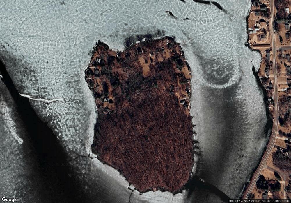
Map
Nearby Homes
- N4510 Anthony Island -
- N4510 & N4504 Anthony Island
- .68 Acre Parcel Anthony Island
- 727 E Lakeview Rd Unit 8
- W4436 E Lakeview Rd
- 244 S Ridge St
- 827 E Lakeview Rd
- 252 S Hustis St
- N4557 Lakeview Rd
- N4973 Lake Dr
- N5003 Mark Ln
- N4554 Lakeview Rd
- N4819 Sinissippi Point Rd
- N5027 Sinissippi Point Rd
- Lt38 Sinissippi Point Rd
- N5025 Arrowhead Ct
- N4550 County Road Dj
- N5413 County Rd S
- N4946 County Road Ws
- 0 Burkwald Ave
- N4518 Anthony Island
- N4510 Anthony Island Unit N4504
- N4510 Anthony Island - Unit N4510
- N4504 Anthony Island - Unit N4504
- n 4514 Anthony Island
- n 4520 Anthony Island
- N4520 Anthony Island
- Lt51 Anthony Island -
- N4544 Anthony Island
- W4122 Anthony Island
- W4126 Anthony Island
- W4130 Anthony Island
- W4142 Anthony Island
- N4527 County Rd E
- N4531 County Rd E
- N4521 County Rd E
- N4519 County Rd E
- n 4501 Anthony Island
- N4501 Anthony Island