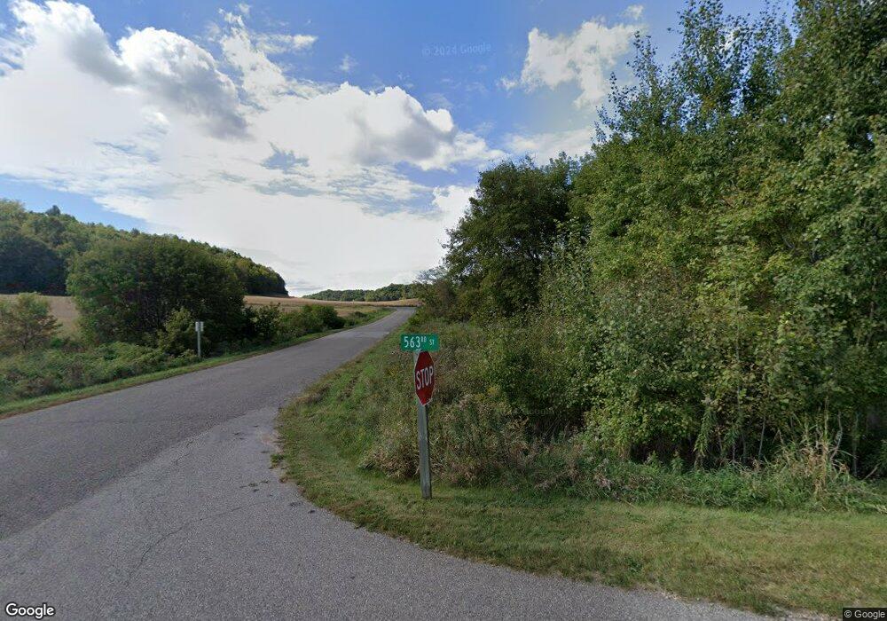
n 4923 563rd St Menomonie, WI 54751
Estimated Value: $445,000 - $549,000
--
Bed
3
Baths
--
Sq Ft
2.22
Acres
About This Home
This home is located at n 4923 563rd St, Menomonie, WI 54751 and is currently estimated at $486,250. n 4923 563rd St is a home located in Dunn County with nearby schools including Oaklawn Elementary School, Menomonie Middle School, and Menomonie High School.
Ownership History
Date
Name
Owned For
Owner Type
Purchase Details
Closed on
Jun 16, 2022
Sold by
Pack and Kristen
Bought by
Lindsey and David
Current Estimated Value
Purchase Details
Closed on
Jan 2, 2020
Sold by
Rosendahl Robert C
Bought by
Pack Brian
Home Financials for this Owner
Home Financials are based on the most recent Mortgage that was taken out on this home.
Original Mortgage
$280,000
Interest Rate
3.6%
Mortgage Type
Construction
Create a Home Valuation Report for This Property
The Home Valuation Report is an in-depth analysis detailing your home's value as well as a comparison with similar homes in the area
Home Values in the Area
Average Home Value in this Area
Purchase History
| Date | Buyer | Sale Price | Title Company |
|---|---|---|---|
| Lindsey | $429,900 | Vinopal Law Office Lts #22-184 | |
| Pack Brian | $350,000 | Dunn Cnty Title Svcs Inc |
Source: Public Records
Mortgage History
| Date | Status | Borrower | Loan Amount |
|---|---|---|---|
| Previous Owner | Pack Brian | $280,000 |
Source: Public Records
Tax History Compared to Growth
Tax History
| Year | Tax Paid | Tax Assessment Tax Assessment Total Assessment is a certain percentage of the fair market value that is determined by local assessors to be the total taxable value of land and additions on the property. | Land | Improvement |
|---|---|---|---|---|
| 2024 | $4,617 | $431,300 | $36,100 | $395,200 |
| 2023 | $4,667 | $431,300 | $36,100 | $395,200 |
| 2022 | $4,532 | $247,900 | $30,000 | $217,900 |
| 2021 | $4,746 | $247,900 | $30,000 | $217,900 |
| 2020 | $4,901 | $247,900 | $30,000 | $217,900 |
| 2019 | $4,502 | $247,900 | $30,000 | $217,900 |
| 2018 | $4,275 | $247,900 | $30,000 | $217,900 |
| 2017 | $4,434 | $247,900 | $30,000 | $217,900 |
| 2016 | $4,654 | $247,900 | $30,000 | $217,900 |
| 2015 | $554 | $30,000 | $30,000 | $0 |
| 2014 | $567 | $30,000 | $30,000 | $0 |
| 2013 | $564 | $30,000 | $30,000 | $0 |
Source: Public Records
Map
Nearby Homes
- N5024 558th St
- E5690 510th Ave
- Lot 23 558th St
- Lot 22 558th St
- E5695 510th Ave
- 5151 N 557th St
- E5691 510th Ave
- N5144 558th St
- N5134 557th St
- 4762 600th St
- 3868 Nicholas Dr
- 3634 Nicholas Dr
- 1805 11th Ave E Unit Lot 19
- 1765 11th Ave E Unit Lot 17
- 1761 11th Ave E Unit Lot 16
- 1402 16th Ave E
- 1762 Wilson Ave
- 1400 12th Ave E
- 5800 E Us Highway 12 Road 29
- 1215 14th Ave E Unit 2
- N4923 563rd St
- N4929 563rd St
- n 4929 563rd St
- Lot 29 563rd St
- N4926 563rd St
- n 4926 563rd St
- N4939 563rd St
- Lots 29&30 563rd St
- Lot 15 563rd St
- E5662 490th Ave
- N4917 567th St
- 4926 563rd St
- Lot 9 563rd St
- Lot 30 563rd St
- Lot 5 563rd St
- 14 Southfields Vacant Lot Used for Subdivision Park
- Pt Lot 1 490th Ave
- Lot 13 563rd St
- L 29&30 563rd St
- N4955 563rd St
