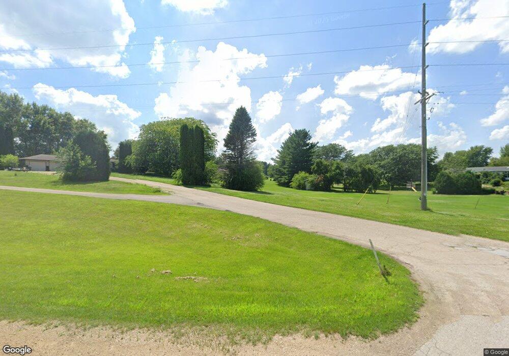
n 5365 Dor Mont St Monticello, WI 53570
Estimated Value: $274,000 - $402,000
3
Beds
2
Baths
1,645
Sq Ft
$217/Sq Ft
Est. Value
About This Home
This home is located at n 5365 Dor Mont St, Monticello, WI 53570 and is currently estimated at $356,578, approximately $216 per square foot. n 5365 Dor Mont St is a home located in Green County with nearby schools including Monticello Elementary School, Monticello Middle School, and Monticello High School.
Ownership History
Date
Name
Owned For
Owner Type
Purchase Details
Closed on
Jun 30, 2008
Sold by
Ball David A and Watts Ball Nedra L
Bought by
Mcnett Scott M and Mcnett Denice K
Current Estimated Value
Home Financials for this Owner
Home Financials are based on the most recent Mortgage that was taken out on this home.
Original Mortgage
$181,450
Outstanding Balance
$116,404
Interest Rate
5.96%
Mortgage Type
New Conventional
Estimated Equity
$240,174
Purchase Details
Closed on
Apr 29, 2005
Sold by
Henning Andrew P and Henning Connie L
Bought by
Ball David A and Ball Nedra L Watts -
Home Financials for this Owner
Home Financials are based on the most recent Mortgage that was taken out on this home.
Original Mortgage
$157,800
Interest Rate
6.06%
Mortgage Type
New Conventional
Create a Home Valuation Report for This Property
The Home Valuation Report is an in-depth analysis detailing your home's value as well as a comparison with similar homes in the area
Home Values in the Area
Average Home Value in this Area
Purchase History
| Date | Buyer | Sale Price | Title Company |
|---|---|---|---|
| Mcnett Scott M | $191,000 | None Available | |
| Ball David A | $197,000 | None Available |
Source: Public Records
Mortgage History
| Date | Status | Borrower | Loan Amount |
|---|---|---|---|
| Open | Mcnett Scott M | $181,450 | |
| Previous Owner | Ball David A | $157,800 |
Source: Public Records
Tax History Compared to Growth
Tax History
| Year | Tax Paid | Tax Assessment Tax Assessment Total Assessment is a certain percentage of the fair market value that is determined by local assessors to be the total taxable value of land and additions on the property. | Land | Improvement |
|---|---|---|---|---|
| 2024 | $3,851 | $188,500 | $19,400 | $169,100 |
| 2023 | $3,246 | $188,500 | $19,400 | $169,100 |
| 2022 | $3,453 | $188,500 | $19,400 | $169,100 |
| 2021 | $3,051 | $188,500 | $19,400 | $169,100 |
| 2020 | $3,228 | $188,500 | $19,400 | $169,100 |
| 2019 | $3,359 | $188,500 | $19,400 | $169,100 |
| 2018 | $3,380 | $188,500 | $19,400 | $169,100 |
| 2017 | $3,442 | $188,500 | $19,400 | $169,100 |
| 2016 | $3,466 | $188,500 | $20,000 | $168,500 |
Source: Public Records
Map
Nearby Homes
- N5038 Meadowlark Cir
- N5080 Hyland Cir
- Lot 8 Thunder Rd
- N5184 County Hwy N
- Lot 5 Lancaster Ln
- Lot 6 Lancaster Ln
- 409 S Monroe St
- 10.45 Acres Ringhand Rd
- 15.9 Acres Washington Rd
- Lot 1 Burr Oak Ln
- Lot 17 Pembridge Trail
- W5548 Sunset Hills Ln
- N3523 View Point Dr
- Lot 18 18 0 Acres Hefty Rd
- Lot 17 19 14 Acres Hefty Rd
- Lot 1 Monroe Sylvester Rd
- Lot 2 Monroe Sylvester Rd
- Lot 15 Rd
- Lot 10 29 28 Acres Hefty Rd
- N3376 Monroe Sylvester Rd
- N5365 Dor Mont St
- N5358 Dor Mont St
- W5252 Chesebro Ln
- W5243 Chesebro Ln
- Lot 8 Chesebro Ln
- Lot 3 Chesebro Ln
- W5239 Chesebro Ln
- Lot 14 Chesebro Ln
- W5233 Chesebro Ln
- W5230 Chesebro Ln
- W5226 Chesebro Ln
- W5225 Chesebro Ln
- W5210 Chesebro Ln
- W5258 Chesebro Ln
- N5299 State Road 69
- n 5297 State Road 69
- N5297 Hwy 69
- N5310 State Road 69
- N5301 State Road 69
- N5302 State Road 69
