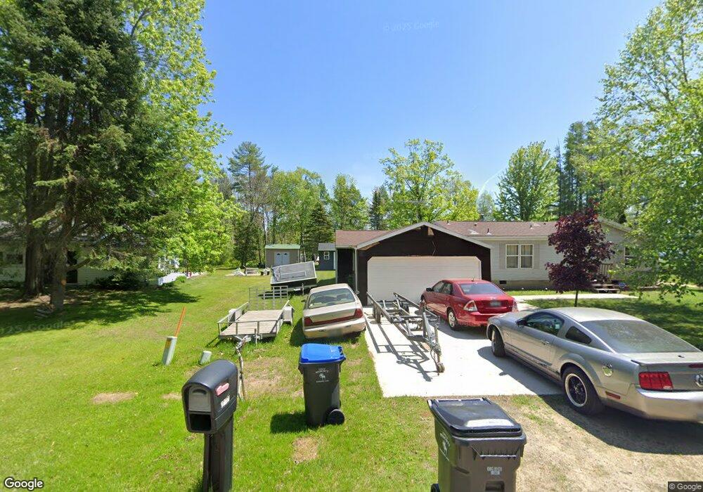
n 6522 Shawano Shores Ct Shawano, WI 54166
Estimated Value: $252,986 - $320,000
2
Beds
2
Baths
864
Sq Ft
$327/Sq Ft
Est. Value
About This Home
This home is located at n 6522 Shawano Shores Ct, Shawano, WI 54166 and is currently estimated at $282,247, approximately $326 per square foot. n 6522 Shawano Shores Ct is a home located in Shawano County with nearby schools including Hillcrest Primary School, Brener Elementary School, and Shawano Community Middle School.
Ownership History
Date
Name
Owned For
Owner Type
Purchase Details
Closed on
May 28, 2001
Sold by
Dovorany John T and Dovorany Renee E
Bought by
Palmer Bernard L
Current Estimated Value
Home Financials for this Owner
Home Financials are based on the most recent Mortgage that was taken out on this home.
Original Mortgage
$80,500
Interest Rate
5.13%
Create a Home Valuation Report for This Property
The Home Valuation Report is an in-depth analysis detailing your home's value as well as a comparison with similar homes in the area
Home Values in the Area
Average Home Value in this Area
Purchase History
| Date | Buyer | Sale Price | Title Company |
|---|---|---|---|
| Palmer Bernard L | $120,000 | Shawano Title Services Inc |
Source: Public Records
Mortgage History
| Date | Status | Borrower | Loan Amount |
|---|---|---|---|
| Previous Owner | Palmer Bernard L | $80,500 |
Source: Public Records
Tax History Compared to Growth
Tax History
| Year | Tax Paid | Tax Assessment Tax Assessment Total Assessment is a certain percentage of the fair market value that is determined by local assessors to be the total taxable value of land and additions on the property. | Land | Improvement |
|---|---|---|---|---|
| 2024 | $2,571 | $170,500 | $11,200 | $159,300 |
| 2023 | $2,560 | $170,500 | $11,200 | $159,300 |
| 2022 | $2,271 | $170,500 | $11,200 | $159,300 |
| 2021 | $2,759 | $143,400 | $11,200 | $132,200 |
| 2020 | $2,570 | $143,400 | $11,200 | $132,200 |
| 2019 | $2,560 | $143,400 | $11,200 | $132,200 |
| 2018 | $2,363 | $137,400 | $11,200 | $126,200 |
| 2017 | $2,285 | $137,400 | $11,200 | $126,200 |
| 2016 | $2,311 | $137,400 | $11,200 | $126,200 |
| 2015 | $2,341 | $137,400 | $11,200 | $126,200 |
Source: Public Records
Map
Nearby Homes
- W6007 Lake Dr
- W5915 Lake Dr
- N6321 Cattau Beach Dr
- W5828 N Oak Park Cir
- W6763 Curt Black Rd
- W5424 N Shore Dr
- W6835 Curt Black Rd
- 0 Loon Lake Dr Unit 39
- 0 Loon Lake Dr Unit 25126501
- 0 S Line Road and Loon Lake Dr Unit 11587186
- 0 Northwood Dr Unit 50316281
- 0 S Line Road and Loon Lake Dr Unit 40
- W4977 Stark Rd
- W4978 Lulu Ct
- 5342 W Sandy Dr
- N6974 Lynwood Dr
- N6966 Lynwood Dr
- N6958 Lynwood Dr
- 0 Knollwood Ct Unit 50314383
- N6940 Menominee Dr
- N6522 Shawano Shores Ct
- n 6518 Shawano Shores Ct
- N6518 Shawano Shores Ct
- N6534 Shawano Shores Ct
- n 6550 Shawano Shores Ct
- N6550 Shawano Shores Ct
- N6519 Shawano Shores Ct
- n 6519 Shawano Shores Ct
- N6554 Shawano Shores Ct
- N6515 Shawano Shores Ct
- n 6545 Shawano Shores Ct
- N6539 Postl Ct
- N6545 Shawano Shores Ct
- W6100 N Bay Ct
- W6099 N Bay Ct
- N6551 Shawano Shores Ct
- W6097 N Bay Ct
- n 6505 Shawano Shores Ct
- W6550 Shawano Shores Ct
- N6505 Shawano Shores Ct