R
Seller's Agent in 2024
Rhonda Darrow
Home Touch Realty LLC
(931) 265-3461
400 Total Sales
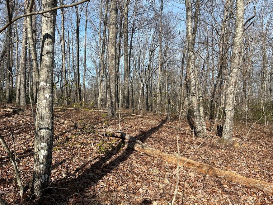
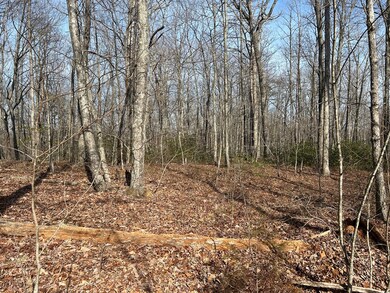
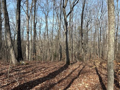
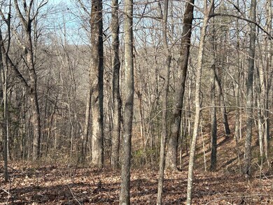

Private & secluded 15.13 rolling too steep completely off the grid living. Living off the land for you? This one has wildlife abundant and surrounded by Skinner Mt National Reserve
Last Agent to Sell the Property
Home Touch Realty LLC Brokerage Phone: 9318794663 License #297153 Listed on: 02/22/2024
Last Buyer's Agent
Home Touch Realty LLC Brokerage Phone: 9318794663 License #297153 Listed on: 02/22/2024
| Date | Event | Price | List to Sale | Price per Sq Ft |
|---|---|---|---|---|
| 03/14/2024 03/14/24 | Sold | $20,000 | 0.0% | -- |
| 02/22/2024 02/22/24 | Pending | -- | -- | -- |
| 02/22/2024 02/22/24 | For Sale | $20,000 | -- | -- |
R
Seller's Agent in 2024
Rhonda Darrow
Home Touch Realty LLC
(931) 265-3461
400 Total Sales
Source: Upper Cumberland Association of REALTORS®
MLS Number: 225774
Disclaimer: Certain information contained herein is derived from information provided by parties other than Homes.com. All information provided is deemed reliable, but is not guaranteed to be accurate and should be independently verified.
![]() Copyright 2026 Upper Cumberland Board of Realtors. All rights reserved. Information deemed to be reliable but not guaranteed. The data relating to real estate for sale on this website comes from Upper Cumberland Board of Realtors.
Copyright 2026 Upper Cumberland Board of Realtors. All rights reserved. Information deemed to be reliable but not guaranteed. The data relating to real estate for sale on this website comes from Upper Cumberland Board of Realtors.
Some or all of the listings displayed may not belong to the firm whose website is being visited.
Ask me questions while you tour the home.
