Estimated Value: $73,000 - $190,000
3
Beds
--
Bath
1,280
Sq Ft
$106/Sq Ft
Est. Value
About This Home
This home is located at N10331 Drake Rd, Iola, WI 54945 and is currently estimated at $136,195, approximately $106 per square foot. N10331 Drake Rd is a home located in Waupaca County with nearby schools including Iola-Scandinavia Elementary School and Iola-Scandinavia High School.
Ownership History
Date
Name
Owned For
Owner Type
Purchase Details
Closed on
Oct 25, 2023
Sold by
Hoks Jeffrey A and Hoks Ronald D
Bought by
Hoks Janet L
Current Estimated Value
Purchase Details
Closed on
Jul 12, 2021
Sold by
Hoks David W and Hoks Margaret P
Bought by
Hoks Janet L and Hoks Jeffrey A
Purchase Details
Closed on
Jun 1, 2011
Sold by
Pagel Kenneth R and Pagel Mary E
Bought by
Pagel Kenneth M
Home Financials for this Owner
Home Financials are based on the most recent Mortgage that was taken out on this home.
Original Mortgage
$200,500
Interest Rate
4.81%
Mortgage Type
Seller Take Back
Purchase Details
Closed on
Mar 28, 2011
Sold by
Stroupe Kevin B
Bought by
Hoks Janet L
Create a Home Valuation Report for This Property
The Home Valuation Report is an in-depth analysis detailing your home's value as well as a comparison with similar homes in the area
Home Values in the Area
Average Home Value in this Area
Purchase History
| Date | Buyer | Sale Price | Title Company |
|---|---|---|---|
| Hoks Janet L | $31,500 | None Listed On Document | |
| Hoks Janet L | $10,800 | None Available | |
| Pagel Kenneth M | $211,000 | None Available | |
| Hoks Janet L | -- | None Available |
Source: Public Records
Mortgage History
| Date | Status | Borrower | Loan Amount |
|---|---|---|---|
| Previous Owner | Pagel Kenneth M | $200,500 |
Source: Public Records
Tax History Compared to Growth
Tax History
| Year | Tax Paid | Tax Assessment Tax Assessment Total Assessment is a certain percentage of the fair market value that is determined by local assessors to be the total taxable value of land and additions on the property. | Land | Improvement |
|---|---|---|---|---|
| 2024 | $650 | $49,000 | $22,100 | $26,900 |
| 2023 | $650 | $49,000 | $22,100 | $26,900 |
| 2022 | $423 | $49,000 | $22,100 | $26,900 |
| 2021 | $469 | $42,900 | $18,000 | $24,900 |
| 2020 | $529 | $42,900 | $18,000 | $24,900 |
| 2019 | $505 | $42,900 | $18,000 | $24,900 |
| 2018 | $531 | $42,900 | $18,000 | $24,900 |
| 2017 | $734 | $42,900 | $18,000 | $24,900 |
| 2016 | $594 | $42,900 | $18,000 | $24,900 |
| 2015 | $740 | $42,900 | $18,000 | $24,900 |
| 2014 | $739 | $42,900 | $18,000 | $24,900 |
| 2013 | $779 | $42,900 | $18,000 | $24,900 |
Source: Public Records
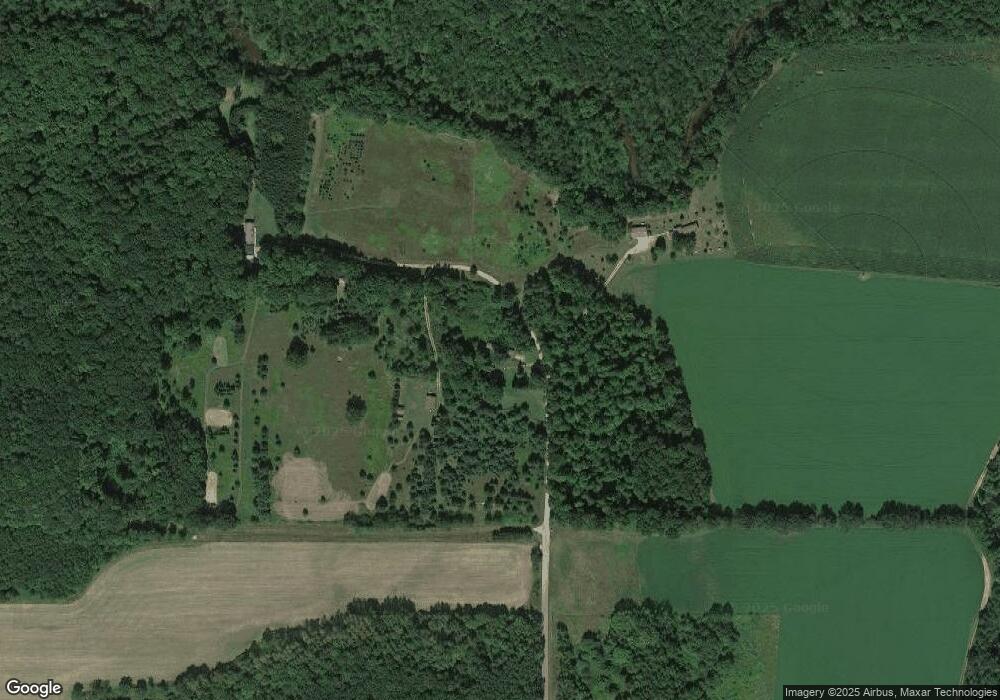
Map
Nearby Homes
- E1384 Wolf River Rd
- 00 Fisher Rd Unit Corner of Helgeson/F
- E2303 Aasen Rd
- E2290 Flaata Rd
- E1501 Penny Ln
- E177 Broten Rd
- N9314 Pleasant Hill Rd
- N11364 Hwy P
- N8608 Strat Rd
- N11875 County Road P
- E2954 Lake Rd
- Lot 1 E Saumer Rd
- E3538 Boelter Rd
- 3966 Wisconsin 49
- 3966 State Highway 49
- N8071 Hatch Lake Rd
- N7929 County Road J
- N7904 County Road G
- N7720 Wisconsin 49
- E2907 County Road Gg
- N10333 Drake Rd
- N10337 Drake Rd
- N10345 Drake Rd
- N10341 Drake Rd
- E1493 E River Hill Rd
- E1483 E River Hill Rd
- E1479 E River Hill Rd
- E1500 E River Hill Rd
- e 1445 E River Hill Rd
- E1459 E River Hill Rd
- E1459 E River Hill Rd
- E1459 E River Hill Rd
- E1445 E Riverhill Rd
- E1421 E River Hill Rd
- E1417 E River Hill Rd
- E1395 W River Hill Rd
- N10327 Drake Rd
- N10498 Wrolstad Rd
- N10493 Wrolstad Rd
- E1365 W River Hill Rd