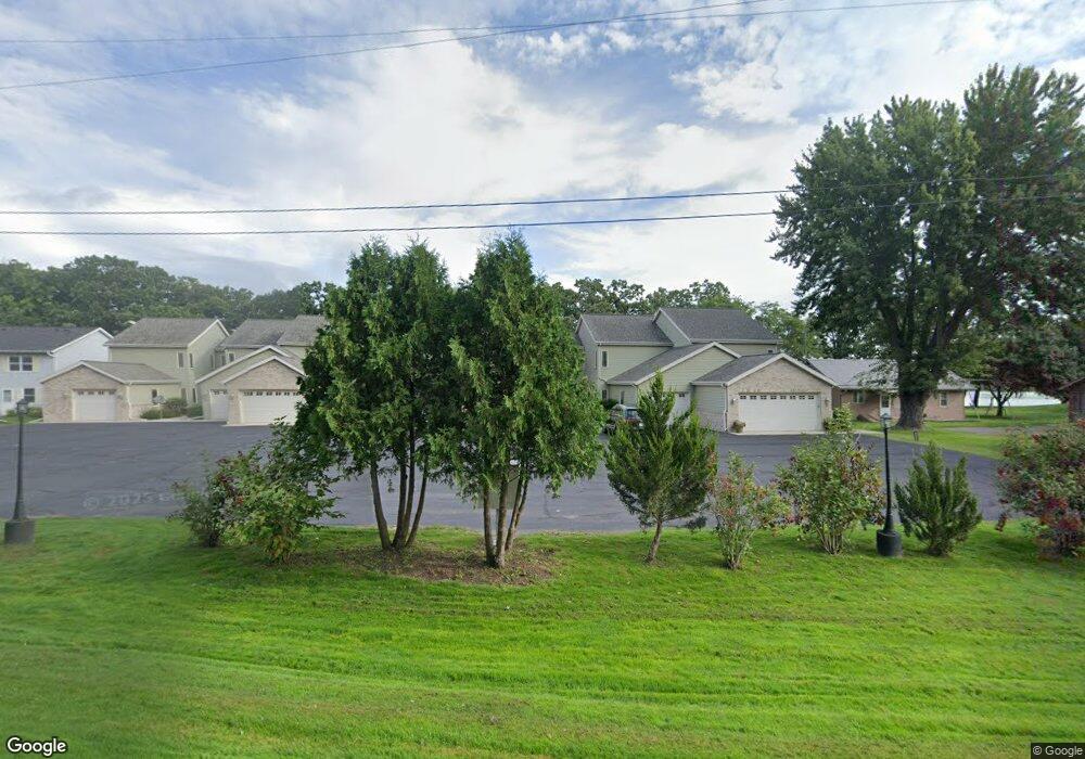
N10342 Howard Dr Unit 6 Fox Lake, WI 53933
Estimated Value: $495,000 - $641,000
--
Bed
--
Bath
--
Sq Ft
1.23
Acres
About This Home
This home is located at N10342 Howard Dr Unit 6, Fox Lake, WI 53933 and is currently estimated at $552,889. N10342 Howard Dr Unit 6 is a home located in Dodge County with nearby schools including Meadow View Primary School, Rock River Intermediate School, and Waupun Area Junior High School.
Ownership History
Date
Name
Owned For
Owner Type
Purchase Details
Closed on
Jun 12, 2014
Sold by
Wendorff Gene and Wendorff Kathleen
Bought by
Donarski Brian R and Donarski Sara J
Current Estimated Value
Home Financials for this Owner
Home Financials are based on the most recent Mortgage that was taken out on this home.
Original Mortgage
$196,875
Outstanding Balance
$150,197
Interest Rate
4.28%
Mortgage Type
New Conventional
Estimated Equity
$402,692
Purchase Details
Closed on
Sep 25, 2007
Sold by
Krieser Wendorff Llc
Bought by
Wendorff Gene and Wendorff Kathleen
Home Financials for this Owner
Home Financials are based on the most recent Mortgage that was taken out on this home.
Original Mortgage
$150,000
Interest Rate
6.55%
Mortgage Type
New Conventional
Create a Home Valuation Report for This Property
The Home Valuation Report is an in-depth analysis detailing your home's value as well as a comparison with similar homes in the area
Home Values in the Area
Average Home Value in this Area
Purchase History
| Date | Buyer | Sale Price | Title Company |
|---|---|---|---|
| Donarski Brian R | $262,500 | None Available | |
| Wendorff Gene | $305,000 | None Available |
Source: Public Records
Mortgage History
| Date | Status | Borrower | Loan Amount |
|---|---|---|---|
| Open | Donarski Brian R | $196,875 | |
| Previous Owner | Wendorff Gene | $150,000 |
Source: Public Records
Tax History Compared to Growth
Tax History
| Year | Tax Paid | Tax Assessment Tax Assessment Total Assessment is a certain percentage of the fair market value that is determined by local assessors to be the total taxable value of land and additions on the property. | Land | Improvement |
|---|---|---|---|---|
| 2024 | $5,735 | $382,000 | $65,000 | $317,000 |
| 2023 | $5,995 | $382,000 | $65,000 | $317,000 |
| 2022 | $5,346 | $382,000 | $65,000 | $317,000 |
| 2021 | $4,429 | $262,500 | $46,400 | $216,100 |
| 2020 | $4,627 | $262,500 | $46,400 | $216,100 |
| 2019 | $4,592 | $262,500 | $46,400 | $216,100 |
| 2018 | $4,704 | $262,500 | $46,400 | $216,100 |
| 2017 | $4,561 | $262,500 | $46,400 | $216,100 |
| 2016 | $4,606 | $262,500 | $46,400 | $216,100 |
| 2015 | $4,763 | $262,500 | $46,400 | $216,100 |
| 2014 | $5,078 | $269,300 | $46,400 | $222,900 |
Source: Public Records
Map
Nearby Homes
- N10638 Howard Dr
- 119 Linden Ln
- 123 Linden Ln
- 121 Linden Ln
- 117 Linden Ln
- W10919 Blackhawk Trail
- W10935 Blackhawk Trail
- 320 Mill St
- 315 Second St
- N10801 Elmwood Island
- W10723 Blackhawk Trail
- W10723 Blackhawk 1 2 3 7 8 9 10 Trail
- W10802 Blackhawk Trail
- 202 W Green St
- 406 S College Ave
- 305 E Crocker St
- N9384 Idle Hour Dr
- W10559 Hickory Point Rd
- W346 County Road P
- W10904 Glen Dr
- N10342 Howard Dr Unit 7
- N10342 Howard Dr Unit 5
- N10342 Howard Dr Unit 4
- N10342 Howard Dr Unit 3
- N10342 Howard Dr Unit 2
- N10342 Howard Dr Unit 1
- N10334 Howard Dr
- N10350 Howard Dr Unit 5
- N10350 Howard Dr Unit 4
- N10350 Howard Dr Unit 3
- N10350 Howard Dr Unit 2
- N10350 Howard Dr Unit 1
- N10354 Howard Dr
- N10328 Howard Dr
- N10337 Howard Dr
- N10345 Howard Dr
- N10335 Howard Dr
- N10356 Howard Dr
- N10345 Howard Dr
- N10335 Howard Dr