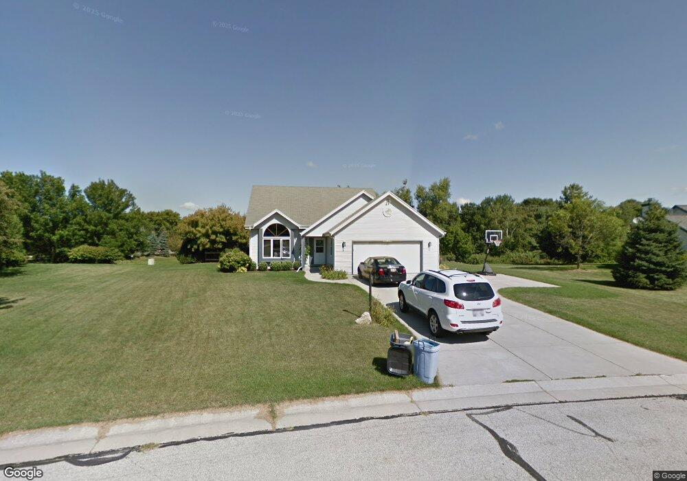
N103W17108 Wildrose Ln Germantown, WI 53022
Estimated Value: $494,236 - $585,000
4
Beds
3
Baths
1,947
Sq Ft
$275/Sq Ft
Est. Value
About This Home
This home is located at N103W17108 Wildrose Ln, Germantown, WI 53022 and is currently estimated at $535,309, approximately $274 per square foot. N103W17108 Wildrose Ln is a home located in Washington County with nearby schools including County Line Elementary School, Kennedy Middle School, and Germantown High School.
Ownership History
Date
Name
Owned For
Owner Type
Purchase Details
Closed on
Oct 24, 2018
Sold by
Hagopian Edward P and Hagopian Michelle L
Bought by
Yang Daniel and Xiong Khou
Current Estimated Value
Home Financials for this Owner
Home Financials are based on the most recent Mortgage that was taken out on this home.
Original Mortgage
$309,700
Outstanding Balance
$270,652
Interest Rate
4.6%
Mortgage Type
New Conventional
Estimated Equity
$264,657
Purchase Details
Closed on
Feb 17, 2006
Sold by
Fritzke Donald M and Fritzke Deborah L
Bought by
Hagoplan Edward and Hagoplan Michelle
Home Financials for this Owner
Home Financials are based on the most recent Mortgage that was taken out on this home.
Original Mortgage
$250,000
Interest Rate
6.62%
Mortgage Type
Adjustable Rate Mortgage/ARM
Create a Home Valuation Report for This Property
The Home Valuation Report is an in-depth analysis detailing your home's value as well as a comparison with similar homes in the area
Home Values in the Area
Average Home Value in this Area
Purchase History
| Date | Buyer | Sale Price | Title Company |
|---|---|---|---|
| Yang Daniel | $326,000 | None Available | |
| Hagoplan Edward | $250,000 | None Available |
Source: Public Records
Mortgage History
| Date | Status | Borrower | Loan Amount |
|---|---|---|---|
| Open | Yang Daniel | $309,700 | |
| Previous Owner | Hagoplan Edward | $250,000 |
Source: Public Records
Tax History Compared to Growth
Tax History
| Year | Tax Paid | Tax Assessment Tax Assessment Total Assessment is a certain percentage of the fair market value that is determined by local assessors to be the total taxable value of land and additions on the property. | Land | Improvement |
|---|---|---|---|---|
| 2024 | $5,458 | $428,500 | $108,000 | $320,500 |
| 2023 | $5,044 | $311,600 | $103,100 | $208,500 |
| 2022 | $5,026 | $311,600 | $103,100 | $208,500 |
| 2021 | $4,823 | $311,600 | $103,100 | $208,500 |
| 2020 | $5,018 | $311,600 | $103,100 | $208,500 |
| 2019 | $4,810 | $311,600 | $103,100 | $208,500 |
| 2018 | $4,981 | $299,100 | $92,700 | $206,400 |
| 2017 | $4,733 | $299,100 | $92,700 | $206,400 |
| 2016 | $4,939 | $299,100 | $92,700 | $206,400 |
| 2015 | $4,689 | $289,300 | $92,700 | $196,600 |
| 2014 | $4,583 | $274,500 | $92,700 | $181,800 |
| 2013 | $4,593 | $279,300 | $88,000 | $191,300 |
Source: Public Records
Map
Nearby Homes
- W168N10125 Bittersweet Trail
- W165N10401 Wagon Trail
- N101W16795 Gunflint Trail
- N100W17560 Whitetail Run
- N108W17282 Lilac Ln
- N106W16321 Old Farm Rd
- N99W16701 Woodcock Rd
- N99W17909 Appletree Ct Unit D-102
- N110W16867 Ashbury Cir Unit 3
- W180N9890 Riversbend Cir W
- W176N9746 Riversbend Cir E Unit E
- W176N9734 Riversbend Cir E
- W179N9765 Riversbend Cir W
- N119W14982 Ivy Ln
- Lot 2 Stonewood Dr
- N98W15894 Concord Rd
- W156N10904 Catskill Ln
- N94W17842 Appleton Ave
- W153N9883 Neptune Dr
- W158N11175 Legend Ave Unit 2
- W171N10351 Wildrose Ln
- N103W17082 Wildrose Ln
- N103W17083 Wildrose Ln
- W171N10337 Wildrose Ln
- W171N10330 Wildrose Ln
- W170N10379 Larkspur Ln
- W170N10347 Larkspur Ln
- W171N10323 Wildrose Ln
- W170N10333 Larkspur Ln
- W171N10316 Wildrose Ln
- N104W17075 Thornapple Row
- N103W17245 Woodbridge Ct
- W170N10317 Larkspur Ln
- N104W17037 Thornapple Row
- W171N10305 Wildrose Ln
- N103W16980 Wildrose Ln
- N103W16979 Wildrose Ln
- W171N10403 Harvest Ln
- N103W17262 Woodbridge Ct
- W171N10302 Wildrose Ln