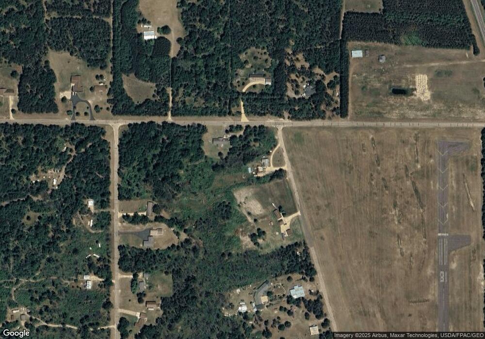
N10887 Airport Rd Necedah, WI 54646
Estimated Value: $142,956 - $237,000
--
Bed
--
Bath
--
Sq Ft
1.61
Acres
About This Home
This home is located at N10887 Airport Rd, Necedah, WI 54646 and is currently estimated at $208,989. N10887 Airport Rd is a home located in Juneau County with nearby schools including Necedah Elementary School, Necedah High School, and N-Vision Learning Center.
Ownership History
Date
Name
Owned For
Owner Type
Purchase Details
Closed on
Sep 20, 2021
Sold by
Vanderhoof Allen L
Bought by
Vanderhoof Diane L
Current Estimated Value
Create a Home Valuation Report for This Property
The Home Valuation Report is an in-depth analysis detailing your home's value as well as a comparison with similar homes in the area
Home Values in the Area
Average Home Value in this Area
Purchase History
| Date | Buyer | Sale Price | Title Company |
|---|---|---|---|
| Vanderhoof Diane L | -- | -- |
Source: Public Records
Tax History Compared to Growth
Tax History
| Year | Tax Paid | Tax Assessment Tax Assessment Total Assessment is a certain percentage of the fair market value that is determined by local assessors to be the total taxable value of land and additions on the property. | Land | Improvement |
|---|---|---|---|---|
| 2024 | $1,399 | $94,000 | $12,100 | $81,900 |
| 2023 | $1,158 | $94,000 | $12,100 | $81,900 |
| 2022 | $1,035 | $94,000 | $12,100 | $81,900 |
| 2021 | $877 | $61,200 | $8,100 | $53,100 |
| 2020 | $872 | $61,200 | $8,100 | $53,100 |
| 2019 | $907 | $61,200 | $8,100 | $53,100 |
| 2018 | $871 | $61,200 | $8,100 | $53,100 |
| 2017 | $839 | $61,200 | $8,100 | $53,100 |
| 2016 | $767 | $55,000 | $8,100 | $46,900 |
| 2015 | $1,058 | $55,000 | $8,100 | $46,900 |
| 2014 | $783 | $55,000 | $8,100 | $46,900 |
| 2013 | $858 | $55,000 | $8,100 | $46,900 |
Source: Public Records
Map
Nearby Homes
- 803 N John St
- 1.41 Acres(MOL) Airport Rd
- 501 N Main St
- 38 acres 18th St W
- W5878 Wilson Ln
- 12335 Wisconsin 80
- 402 S Main St
- 202 W 5th St
- 511 Weston St
- 513 Oak Grove Dr
- 000 W 6th St
- 604 S Main St
- 5.12 AC County Road G
- 6.05 AC County Road G
- Lot 45 10th St
- Lot 44 10th St
- W6403 23rd St W
- 4.98 Ac 23rd St
- Lot 9 10th Ave
- W6993 23rd St W
- W6453 19th St W
- N10861 Airport Rd
- 0 19th St W
- 10.10 acres 19th St
- W6422 19th St W
- N10841 Airport Rd
- n 10860 11th Ave
- N10831 Airport Rd
- W6394 19th St W
- N10852 11th Ave
- W6480 19th St W
- N10813 Airport Rd
- N10832 11th Ave
- N10810 11th Ave
- W6508 19th St W
- N10794 11th Ave
- N10793 Airport Rd
- N10861 S 11th Ave
- N10803 11th Ave
- N11725 State Road 80
