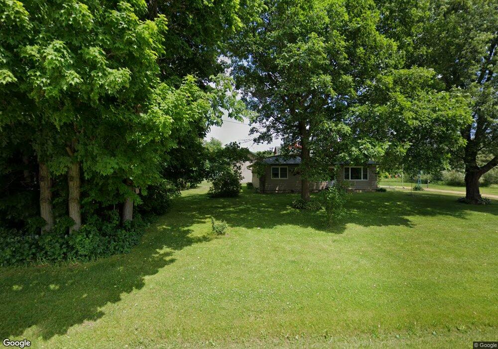
N1130 County Road M Browntown, WI 53522
Estimated Value: $313,406 - $404,000
--
Bed
--
Bath
--
Sq Ft
11.29
Acres
About This Home
This home is located at N1130 County Road M, Browntown, WI 53522 and is currently estimated at $366,135. N1130 County Road M is a home located in Green County with nearby schools including Black Hawk Elementary School, Black Hawk Middle School, and Black Hawk High School.
Create a Home Valuation Report for This Property
The Home Valuation Report is an in-depth analysis detailing your home's value as well as a comparison with similar homes in the area
Home Values in the Area
Average Home Value in this Area
Tax History Compared to Growth
Tax History
| Year | Tax Paid | Tax Assessment Tax Assessment Total Assessment is a certain percentage of the fair market value that is determined by local assessors to be the total taxable value of land and additions on the property. | Land | Improvement |
|---|---|---|---|---|
| 2024 | $2,863 | $154,900 | $50,800 | $104,100 |
| 2023 | $2,923 | $154,900 | $50,800 | $104,100 |
| 2022 | $2,636 | $154,900 | $50,800 | $104,100 |
| 2021 | $2,459 | $154,900 | $50,800 | $104,100 |
| 2020 | $2,640 | $154,900 | $50,800 | $104,100 |
| 2019 | $2,600 | $154,900 | $50,800 | $104,100 |
| 2018 | $2,785 | $154,900 | $50,800 | $104,100 |
| 2017 | $2,752 | $154,900 | $50,800 | $104,100 |
| 2016 | $2,696 | $154,900 | $50,800 | $104,100 |
| 2014 | $2,660 | $137,600 | $50,800 | $86,800 |
Source: Public Records
Map
Nearby Homes
- TBD Miller Rd
- 000 County Highway M
- 360 S Church St
- 113 S Liberty St
- W8192 Pilz Rd
- W8194 Pilz Rd
- N2090 Allen Rd
- N2202 Cadiz Springs Rd
- 619 Bridge St
- 204 Carver St
- 430 Hubbard St
- 437 Hubbard St
- 439 Hubbard St
- W7880 Wisconsin 11
- 139.57 AC County Road M
- Lot 3 Rd
- 000 County Road M
- 301 S Galena St
- 7841 W Hwy County M
- 12934 N Damascus Rd
- N1210 County Road M
- N1210 County Road M
- N1210 County Road M
- N1210 County Road M
- N1209 County Road M
- N1209 County Road M
- N1245 County Road M
- N1240 County Road M
- N1269 County Road M
- N1269 County Road M
- 3.07 + - Acres County Road B
- 3.07 +/- Acres County Road B
- County Highway B
- W8578 County Road B
- W8578 County Road B
- 79.24 Acres Miller Rd
- W8542 County Road B
- W8516 County Road B
- W8835 County Road B
- W8835 County Road B