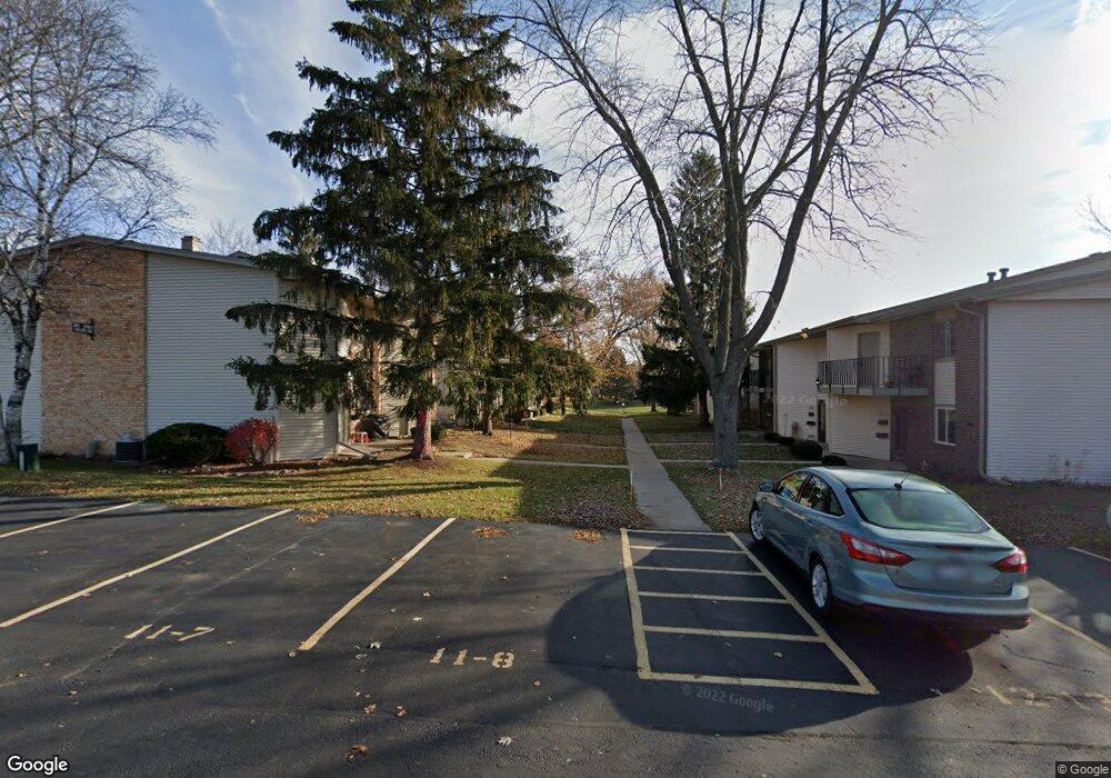
N115W17115 Armada Dr Germantown, WI 53022
Estimated Value: $160,414 - $183,000
2
Beds
1
Bath
869
Sq Ft
$199/Sq Ft
Est. Value
About This Home
This home is located at N115W17115 Armada Dr, Germantown, WI 53022 and is currently estimated at $173,104, approximately $199 per square foot. N115W17115 Armada Dr is a home located in Washington County with nearby schools including County Line Elementary School, Kennedy Middle School, and Germantown High School.
Ownership History
Date
Name
Owned For
Owner Type
Purchase Details
Closed on
Aug 14, 2007
Sold by
Spangenberg Lisa and Sosinske Lisa
Bought by
Sosinske Lisa
Current Estimated Value
Home Financials for this Owner
Home Financials are based on the most recent Mortgage that was taken out on this home.
Original Mortgage
$105,000
Interest Rate
6.77%
Mortgage Type
New Conventional
Create a Home Valuation Report for This Property
The Home Valuation Report is an in-depth analysis detailing your home's value as well as a comparison with similar homes in the area
Home Values in the Area
Average Home Value in this Area
Purchase History
| Date | Buyer | Sale Price | Title Company |
|---|---|---|---|
| Sosinske Lisa | -- | None Available |
Source: Public Records
Mortgage History
| Date | Status | Borrower | Loan Amount |
|---|---|---|---|
| Closed | Sosinske Lisa | $105,000 |
Source: Public Records
Tax History Compared to Growth
Tax History
| Year | Tax Paid | Tax Assessment Tax Assessment Total Assessment is a certain percentage of the fair market value that is determined by local assessors to be the total taxable value of land and additions on the property. | Land | Improvement |
|---|---|---|---|---|
| 2024 | $1,773 | $155,000 | $40,000 | $115,000 |
| 2023 | $1,148 | $86,500 | $30,000 | $56,500 |
| 2022 | $1,178 | $86,500 | $30,000 | $56,500 |
| 2021 | $1,114 | $86,500 | $30,000 | $56,500 |
| 2020 | $1,218 | $86,500 | $30,000 | $56,500 |
| 2019 | $1,149 | $86,500 | $30,000 | $56,500 |
| 2018 | $814 | $59,600 | $22,000 | $37,600 |
| 2017 | $810 | $59,600 | $22,000 | $37,600 |
| 2016 | $801 | $59,600 | $22,000 | $37,600 |
| 2015 | $1,154 | $78,200 | $22,000 | $56,200 |
| 2014 | $1,262 | $78,200 | $22,000 | $56,200 |
| 2013 | $1,516 | $94,700 | $22,000 | $72,700 |
Source: Public Records
Map
Nearby Homes
- N115W17131 Armada Dr
- N115W17121 Armada Dr
- W170N11573 Armada Dr
- W170N11583 Armada Dr
- W170N11417 Armada Dr Unit 2
- W169N11540 Biscayne Dr Unit 3, Bldg 9
- N115W16877 El Camino Dr
- N114W16721 Royal Ct
- N114W16633 Royal Ct Unit 4
- N114W16680 Crown Dr Unit 5
- N114W16680 Crown Dr Unit 4
- N114W16680 Crown Dr Unit 7
- N116W16416 Main St
- Lt0 Wisconsin 145
- N110W17098 Ashbury Ln Unit 5
- N110W16867 Ashbury Cir Unit 3
- The Aspen Plan at Wrenwood - The Reserve at Wrenwood
- The Breckenridge Plan at Wrenwood - The Reserve at Wrenwood
- N119W14982 Ivy Ln
- N118W14979 Mistletoe Rd
- N115W17111 Armada Dr
- N115W17119 Armada Dr
- N115W17113 Armada Dr
- N115W17113 Armada Dr Unit 12
- N115W17117 Armada Dr
- N115W17107 Armada Dr
- N115W17109 Armada Dr Unit 3
- N115W17123 Armada Dr
- N115W17121 Armada Dr Unit 15
- N115W17105 Armada Dr
- N115W17103 Armada Dr
- N115W17127 Armada Dr
- N115W17127 Armada Dr Unit 14
- N115W17101 Armada Dr Unit 1
- N115W17125 Armada Dr
- N115W17125 Armada Dr Unit 6
- N115W17129 Armada Dr
- W170N11565 Armada Dr
- W170N11569 Armada Dr
- W170N11577 Armada Dr