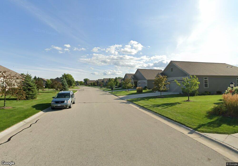
N115W17851 Sawgrass Ct Germantown, WI 53022
Estimated Value: $495,000 - $585,000
2
Beds
3
Baths
3,019
Sq Ft
$181/Sq Ft
Est. Value
About This Home
This home is located at N115W17851 Sawgrass Ct, Germantown, WI 53022 and is currently estimated at $545,514, approximately $180 per square foot. N115W17851 Sawgrass Ct is a home located in Washington County with nearby schools including County Line Elementary School, Kennedy Middle School, and Germantown High School.
Ownership History
Date
Name
Owned For
Owner Type
Purchase Details
Closed on
Sep 27, 2012
Sold by
Rivers Lane Bank 9 Llc
Bought by
Quinnt Patrick J and Kuen Quinnt Karen M
Current Estimated Value
Home Financials for this Owner
Home Financials are based on the most recent Mortgage that was taken out on this home.
Original Mortgage
$125,000
Outstanding Balance
$87,208
Interest Rate
3.67%
Mortgage Type
Adjustable Rate Mortgage/ARM
Estimated Equity
$458,306
Create a Home Valuation Report for This Property
The Home Valuation Report is an in-depth analysis detailing your home's value as well as a comparison with similar homes in the area
Home Values in the Area
Average Home Value in this Area
Purchase History
| Date | Buyer | Sale Price | Title Company |
|---|---|---|---|
| Quinnt Patrick J | $315,000 | None Available |
Source: Public Records
Mortgage History
| Date | Status | Borrower | Loan Amount |
|---|---|---|---|
| Open | Quinnt Patrick J | $125,000 |
Source: Public Records
Tax History Compared to Growth
Tax History
| Year | Tax Paid | Tax Assessment Tax Assessment Total Assessment is a certain percentage of the fair market value that is determined by local assessors to be the total taxable value of land and additions on the property. | Land | Improvement |
|---|---|---|---|---|
| 2024 | $6,574 | $493,500 | $75,000 | $418,500 |
| 2023 | $7,109 | $415,000 | $70,000 | $345,000 |
| 2022 | $7,025 | $415,000 | $70,000 | $345,000 |
| 2021 | $6,768 | $415,000 | $70,000 | $345,000 |
| 2020 | $6,936 | $415,000 | $70,000 | $345,000 |
| 2019 | $6,681 | $415,000 | $70,000 | $345,000 |
| 2018 | $5,712 | $332,000 | $60,000 | $272,000 |
| 2017 | $5,378 | $332,000 | $60,000 | $272,000 |
| 2016 | $5,344 | $332,000 | $60,000 | $272,000 |
| 2015 | $5,392 | $325,500 | $60,000 | $265,500 |
| 2014 | $4,712 | $282,100 | $60,000 | $222,100 |
| 2013 | $5,361 | $325,400 | $60,000 | $265,400 |
Source: Public Records
Map
Nearby Homes
- N115W17131 Armada Dr
- W170N11583 Armada Dr Unit 16
- N115W17121 Armada Dr
- W170N11573 Armada Dr
- W170N11497 Armada Dr Unit 16
- N115W17103 Armada Dr Unit 7
- W170N11417 Armada Dr Unit 2
- W169N11540 Biscayne Dr Unit 3, Bldg 9
- W169N11452 Biscayne Dr Unit 14
- N114W16721 Royal Ct
- N114W16680 Crown Dr Unit 4
- N114W16680 Crown Dr Unit 7
- N110W17158 Ashbury Ln Unit 16
- Lt0 Wisconsin 145
- N110W17098 Ashbury Ln Unit 5
- N116W16416 Main St
- N110W16867 Ashbury Cir Unit 3
- N108W17282 Lilac Ln
- The Aspen Plan at Wrenwood - The Reserve at Wrenwood
- The Breckenridge Plan at Wrenwood - The Reserve at Wrenwood
- N115W17853 Sawgrass Ct
- N115W17838 Sawgrass Ct
- W177N11547 Blackstone Cir
- W177N11531 Blackstone Cir
- W177N11555 Blackstone Cir
- N115W17846 Sawgrass Ct
- N116W17864 Blackstone Cir
- N116W17866 Blackstone Cir
- N116W17864 Blackstone Cir Unit 66
- N115W17848 Sawgrass Ct
- W177N11527 Blackstone Cir
- W179N11525 Blackstone Cir Unit 6
- W177N11567 Blackstone Cir
- W177N11577 Blackstone Cir
- W177N11513 Blackstone Cir
- W177N11599 Blackstone Cir
- N116W17841 Blackstone Cir
- N116W17817 Blackstone Cir
- W177N11534 Fairway Ct
- N116W17879 Blackstone Cir Unit 141