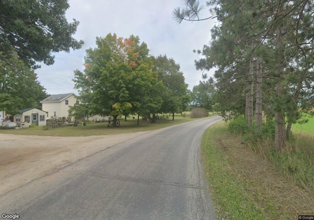
N1175 17th Rd Dalton, WI 53926
Estimated Value: $95,000 - $420,000
--
Bed
--
Bath
--
Sq Ft
1.94
Acres
About This Home
This home is located at N1175 17th Rd, Dalton, WI 53926 and is currently estimated at $292,735. N1175 17th Rd is a home with nearby schools including Forest Lane Community School and Montello Junior/Senior High School.
Ownership History
Date
Name
Owned For
Owner Type
Purchase Details
Closed on
Mar 10, 2016
Sold by
Farrell Jack D
Bought by
Farrell Phyllis S
Current Estimated Value
Purchase Details
Closed on
Feb 22, 2007
Sold by
Schmanke Martin O
Bought by
The Schmanke Liv Trust
Purchase Details
Closed on
Feb 16, 2007
Sold by
Farrell Phyllis S
Bought by
Schmanke Martin O
Purchase Details
Closed on
Oct 6, 2005
Sold by
Farrell Jack D and Farrell Phyllis S
Bought by
Schmanke Martin O and Schmanke Roxanne M
Purchase Details
Closed on
Jan 16, 2005
Sold by
Schmanke Martin O and Schmanke Roxanne M
Bought by
Schmanke Liv Trust
Create a Home Valuation Report for This Property
The Home Valuation Report is an in-depth analysis detailing your home's value as well as a comparison with similar homes in the area
Home Values in the Area
Average Home Value in this Area
Purchase History
| Date | Buyer | Sale Price | Title Company |
|---|---|---|---|
| Farrell Phyllis S | -- | -- | |
| The Schmanke Liv Trust | -- | -- | |
| Schmanke Martin O | $210,000 | -- | |
| Farrell Phyllis S | -- | -- | |
| Schmanke Martin O | -- | -- | |
| Farrell Jack D | -- | -- | |
| Schmanke Liv Trust | -- | -- |
Source: Public Records
Mortgage History
| Date | Status | Borrower | Loan Amount |
|---|---|---|---|
| Closed | Farrell Jack D | $0 |
Source: Public Records
Tax History Compared to Growth
Tax History
| Year | Tax Paid | Tax Assessment Tax Assessment Total Assessment is a certain percentage of the fair market value that is determined by local assessors to be the total taxable value of land and additions on the property. | Land | Improvement |
|---|---|---|---|---|
| 2024 | $3,447 | $189,100 | $21,600 | $167,500 |
| 2023 | $3,351 | $189,100 | $21,600 | $167,500 |
| 2022 | $3,292 | $189,100 | $21,600 | $167,500 |
| 2021 | $3,278 | $189,100 | $21,600 | $167,500 |
| 2020 | $3,185 | $189,100 | $21,600 | $167,500 |
| 2019 | $3,160 | $189,100 | $21,600 | $167,500 |
| 2018 | $3,072 | $189,100 | $21,600 | $167,500 |
| 2017 | $3,368 | $189,100 | $21,600 | $167,500 |
| 2016 | $2,854 | $161,200 | $16,800 | $144,400 |
| 2015 | $2,573 | $161,200 | $16,800 | $144,400 |
| 2014 | -- | $161,200 | $16,800 | $144,400 |
| 2013 | -- | $161,200 | $16,800 | $144,400 |
| 2012 | -- | $161,200 | $16,800 | $144,400 |
Source: Public Records
Map
Nearby Homes
- N1514 18th Rd
- W2470 County Road B
- W3541 Grouse Rd
- N9307 Old Highway 22 Rd
- W7015 Hwy Cm
- W6055 County Road B
- W6051 County Road B
- W6726 Puckaway Rd
- W4534 County Rd E
- Lot 2 County Rd E
- Lot 13 Flynn Dr
- L17 Oak Rd
- L18 Oak Rd
- L14 Oak Rd
- L16 Oak Rd
- N3041 County Road F
- N3190 Oak Rd
- Lot 54&55 Lalor Ln
- Lot 26 Lalor Ln
- N126 Brevard Dr
